West Fork, AR, November 2024


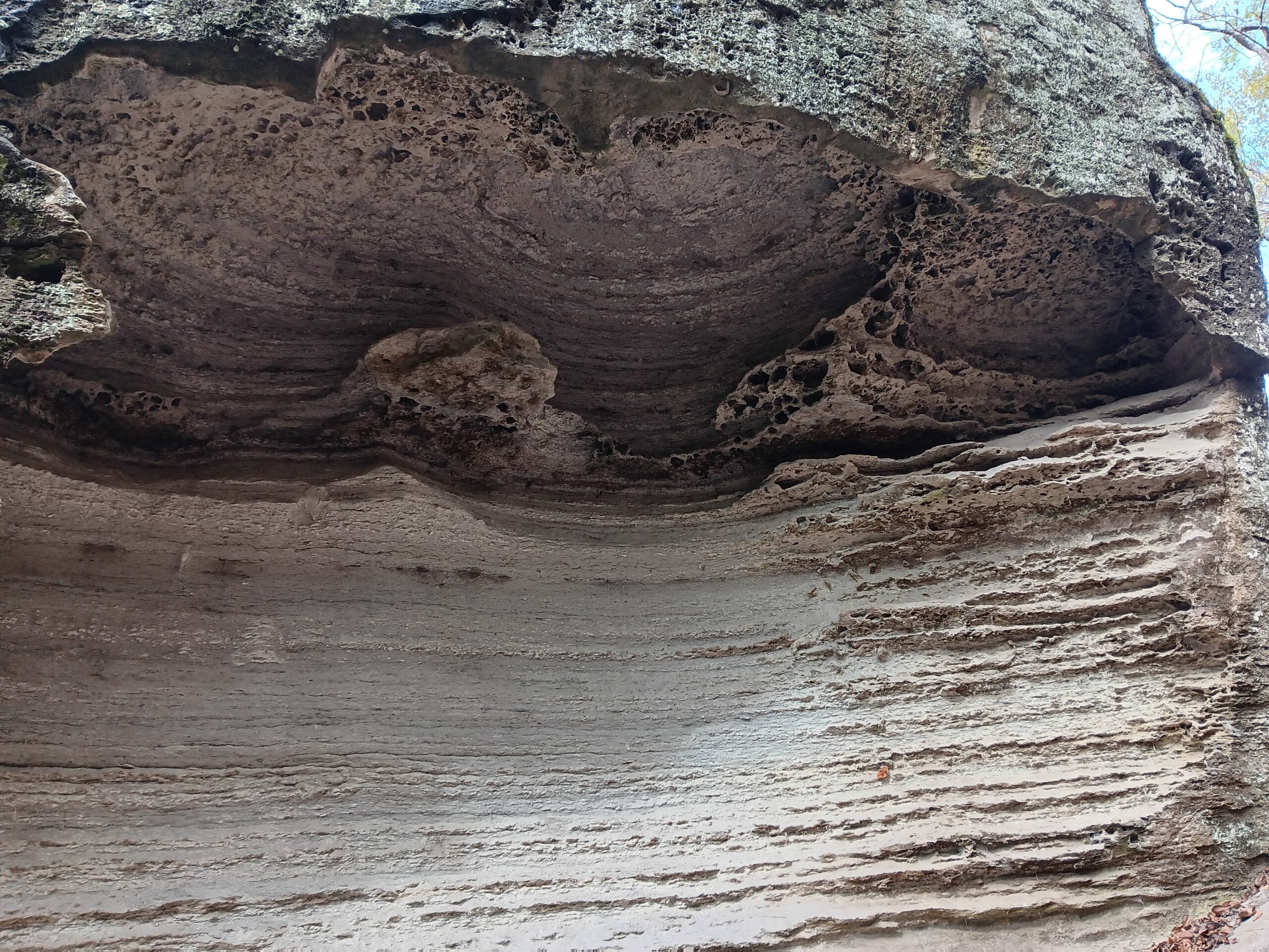
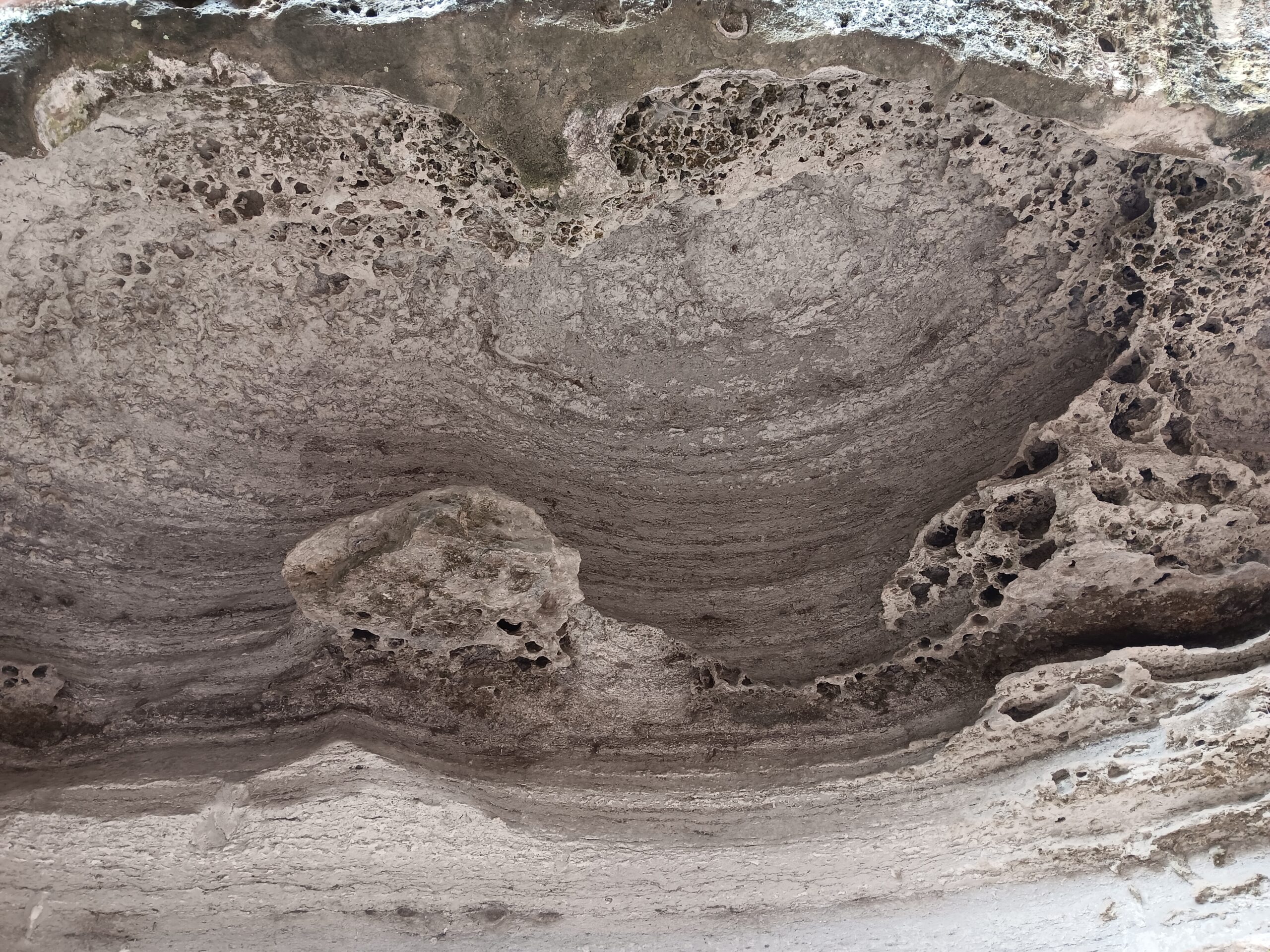
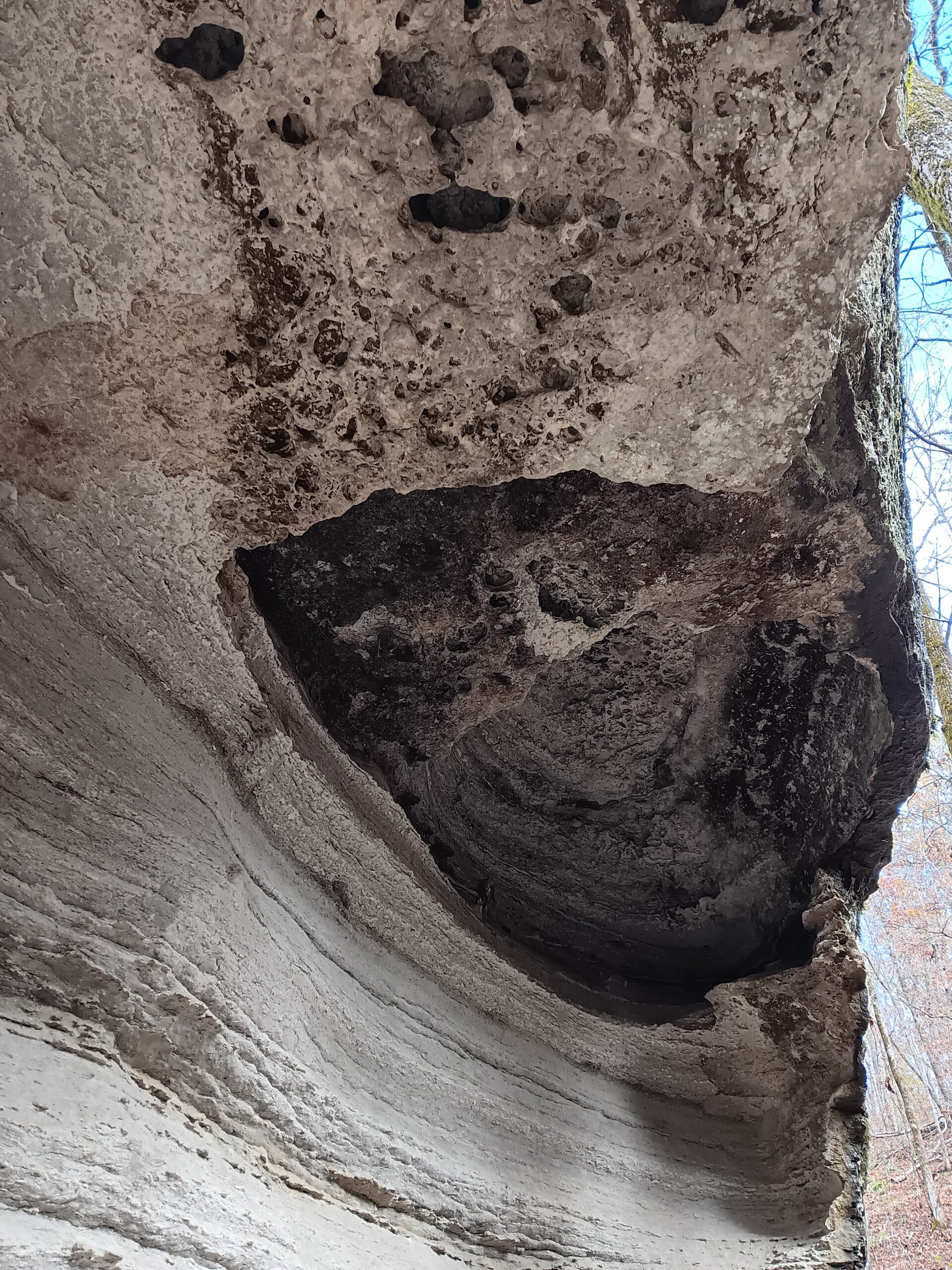
One of the first things you will notice (after trees), is the rock formations. At several places along the trail up the hill, there are rocks that look like relief carvings. These are natural formations known as carpet rock, and variants of these are found in parks across Arkansas.


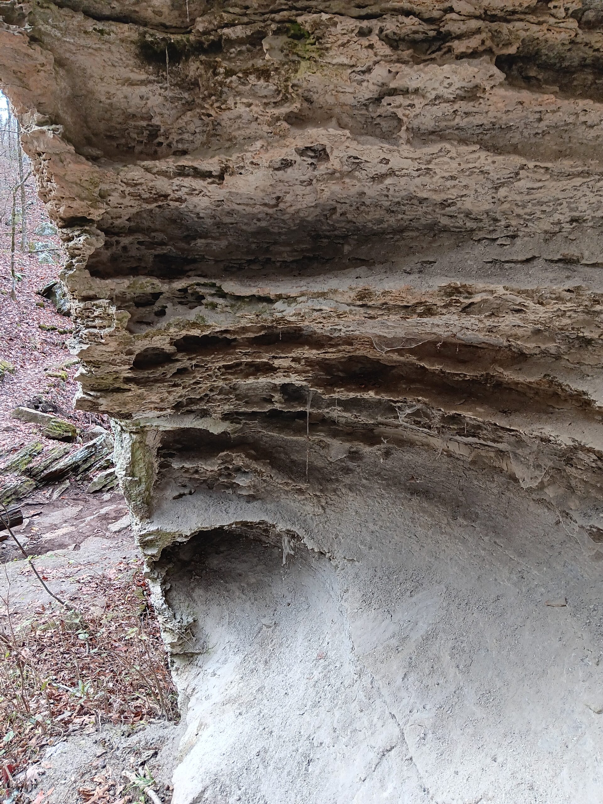
The Devil’s Den trail is not particularly long, but it has several areas that are steeper and rockier. The trail wanders through a portion of the park that has a lot of sandstone crevice caves. The Devil’s Den is the longest crevice cave at 550 feet, but we are not actually sure which cave it was. The interior remains a balmy, in winter, 54 degrees all year round.

Near the beginning of the far loop, is a long deep crevice. It looks to be at least 50 to 75 feet deep at the deepest point. At the far end, it descends into the earth, but the entrance is barred.

A fungal infection has been killing bats in several state. The infection results in a white ring growth around the muzzle of the bat. Due to this, it is called White Nose Syndrome. The fungal infection has a 90% mortality rate. The rapid spread and loss of bat populations as an insect control would be devastating. One theory on the spread is that people exploring caves are carrying it from location to location on their gear and clothes. For this reason, any cave used for bat hibernation has been barred.

The area had a lot of odd erosion patterns in the rock. We think it was due to being sandstone. Possibly the softer portions eroded faster? Maybe there is limestone in it too? We did a quick search and ran across geology papers about Arkansas. No even John was willing to endure that tedium of reading geology papers.
There is a waterfall on the trail, but it was a bit meager. I am not sure if it gets much better after it rains. It looks treacherous to get around the cliff face, but it is actually much wider than it appears.

The sound of the water falling is calm and relaxing and makes me need to run to the bathroom.

At the bottom of the waterfall headed to the river, we ran across a tiny brown and green frog. It was probably no longer than a quarter is wide.


At the lowest point of the trail, you walk along the river. On a sunny day with the trees turning colors for autumn, the view would be stunning. We were a little too late in the year, so we saw more a of mix of green and bare limbs than bright colors. There are old stone CCC structures at the river that have collapsed. One appears to be a walkway along the riverside and the other looks like bridge pylons.
At most, the trail was moderate difficulty due to the rocky steps and tripping hazards in the trail. Balance and stability will matter for this trail more than endurance. Walking sticks are advisable, if you are older or unbalanced. There are a few steep points, but they are not very long