West Thumb Geyser Basin, WY, May 2025
Kate wanted to take a break after the Storm Point hike to wait for most people to leave the park. After coming back, we received a unannounced visitor … (dun dun DUN!)
Kate answered the door, and it was park maintenance. It turns out that the water spigot at the site next to us was broken. They needed to install a “T” at our spigot to allow the other site to get water until it was fixed tomorrow. This required John to strip off all the insulation he put on the hose and spigot, let them put in the “T”, and reapply the insulation. It is probably not necessary, but it has been below freezing every night. (Since we have almost never had an issue, it seems like a good ideal to keep doing what we are doing.)
After that interruption, we left for West Thumb at about 6 pm. It was a half an hour drive that took about an hour and twenty minutes because we kept stopping to photograph things or look through binoculars.
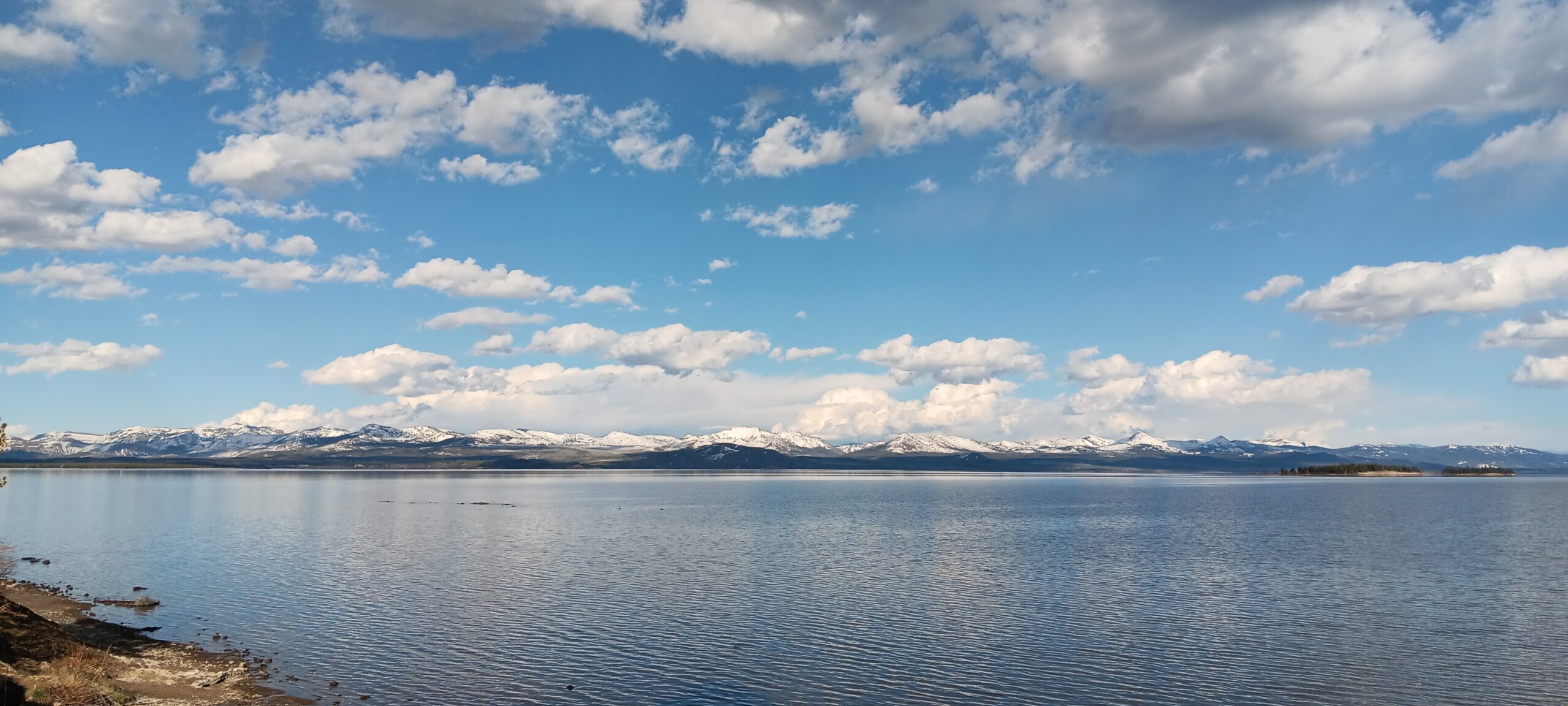
We saw some beautiful mountains behind the eastern side of Yellowstone Lake. These mountains are part of the Absaroka range that border the north and east of Yellowstone National Park.
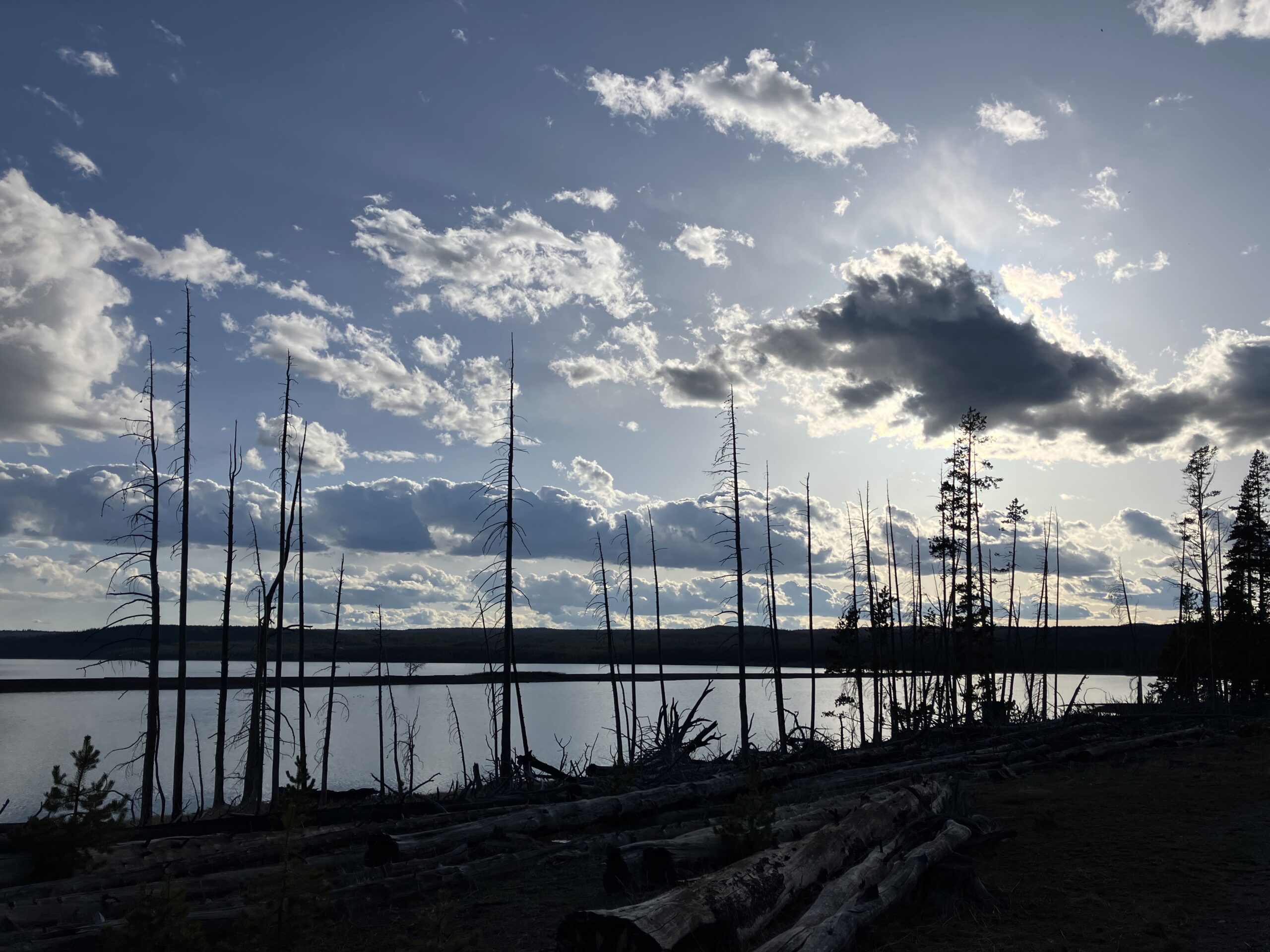
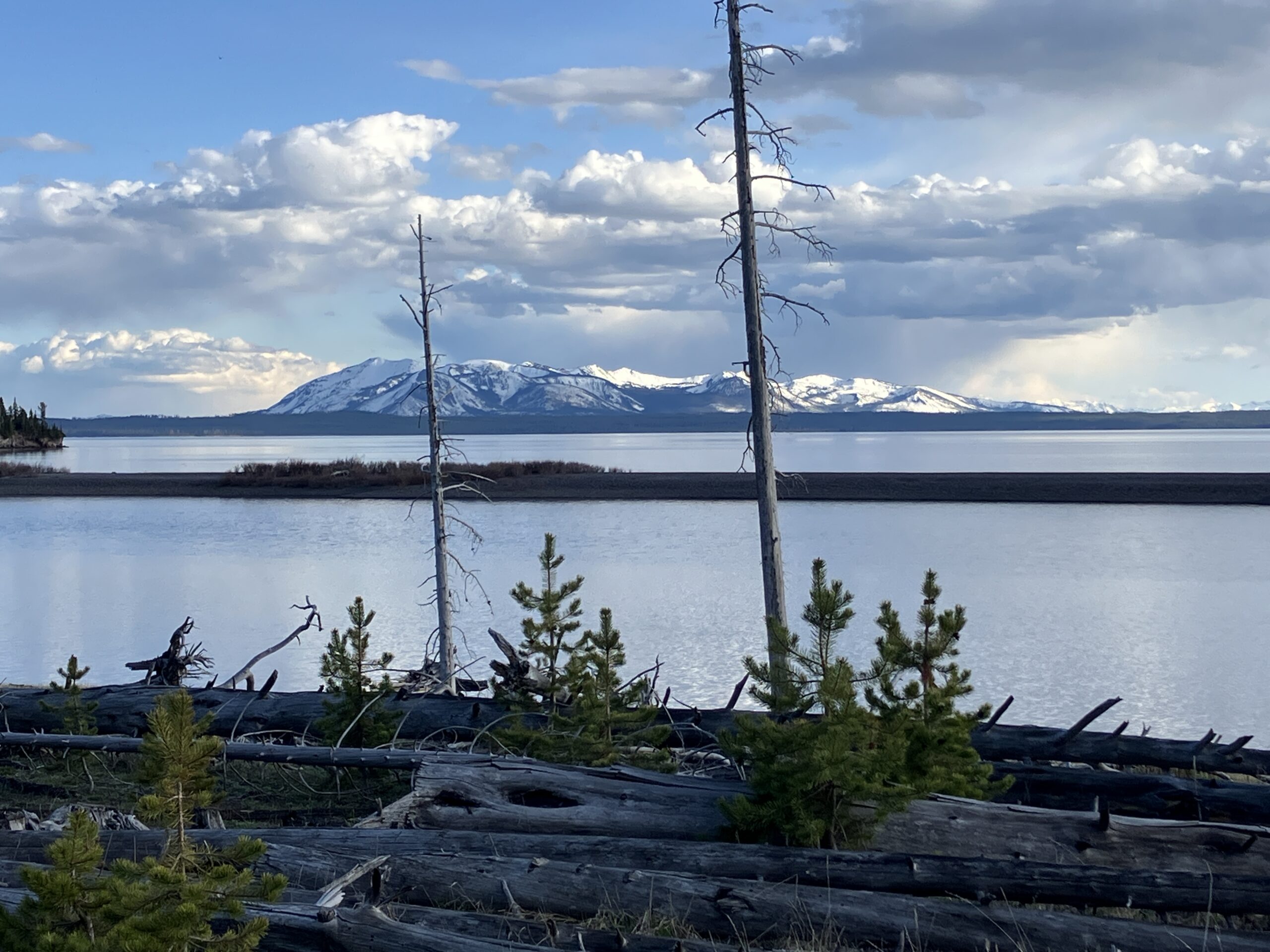
We saw some backlit clouds and Mount Sheridan south of West Thumb.
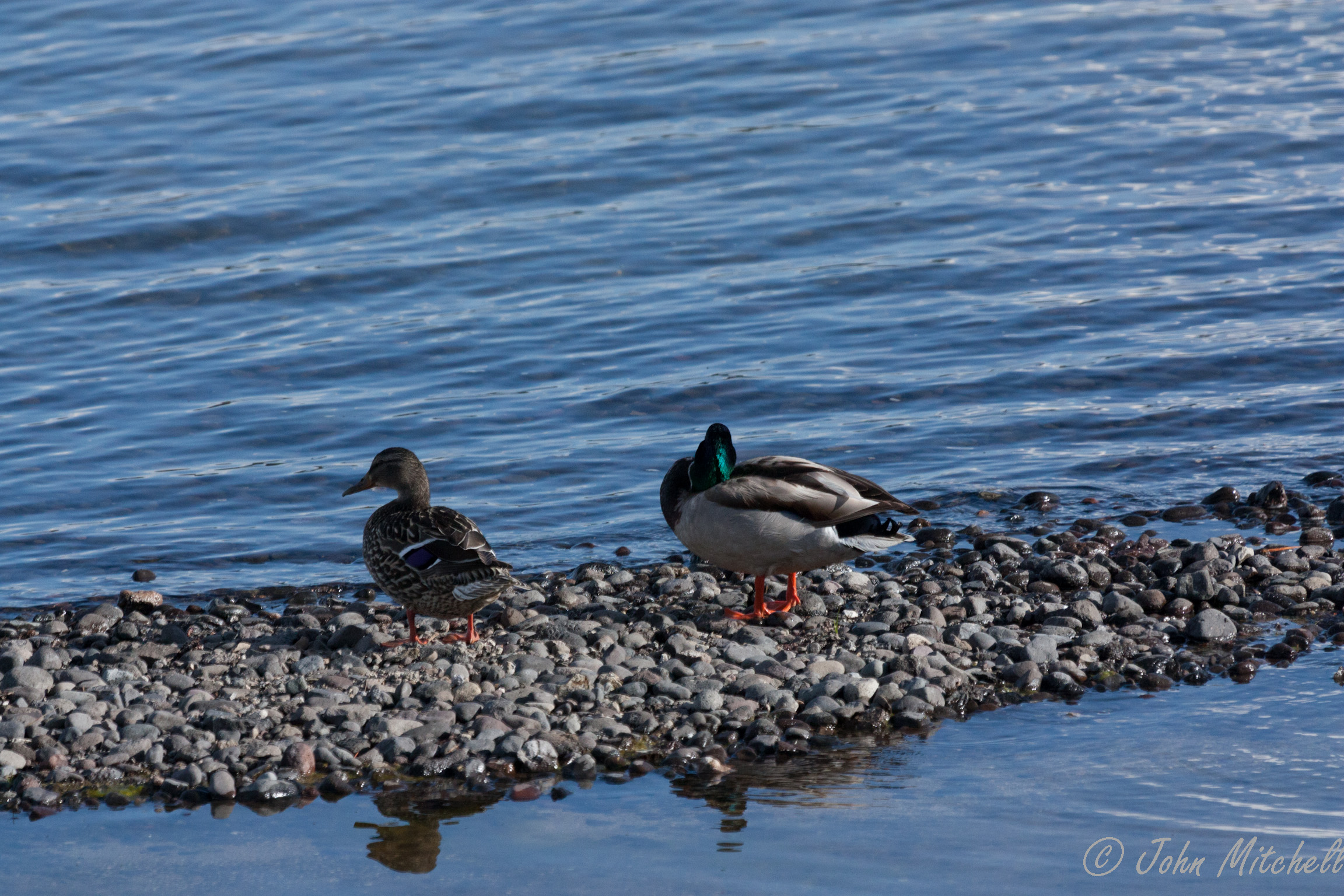
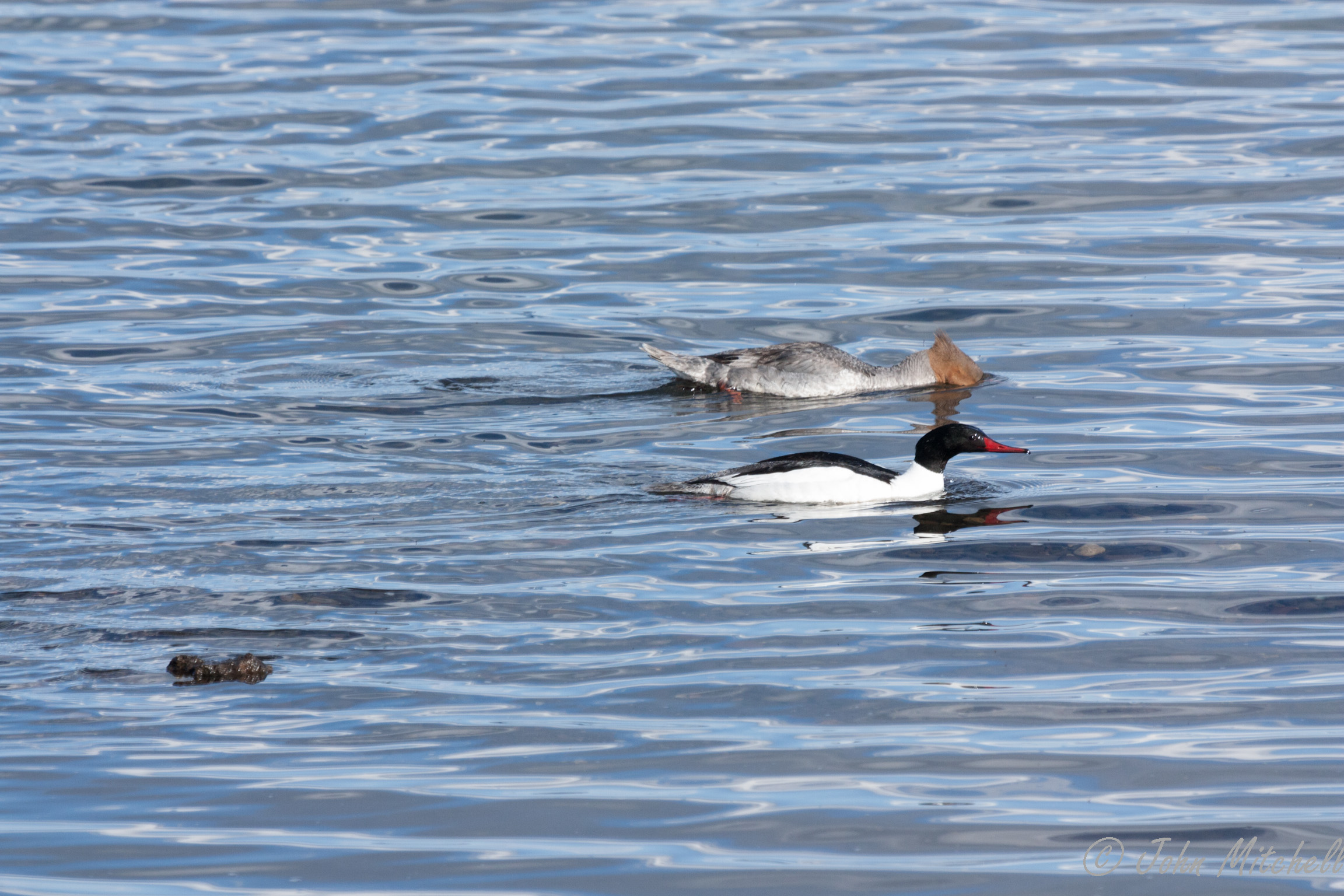
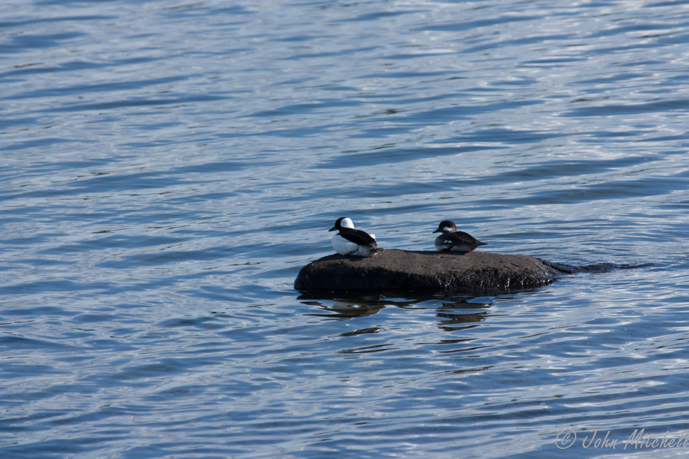
While photographing the mountains, we saw ducks. John pulled out his tripod and largest lens to see if we could get some decent pictures of some of the ducks that have been tiny specks in most of the picture. He succeeded.
A pair of Mallards:

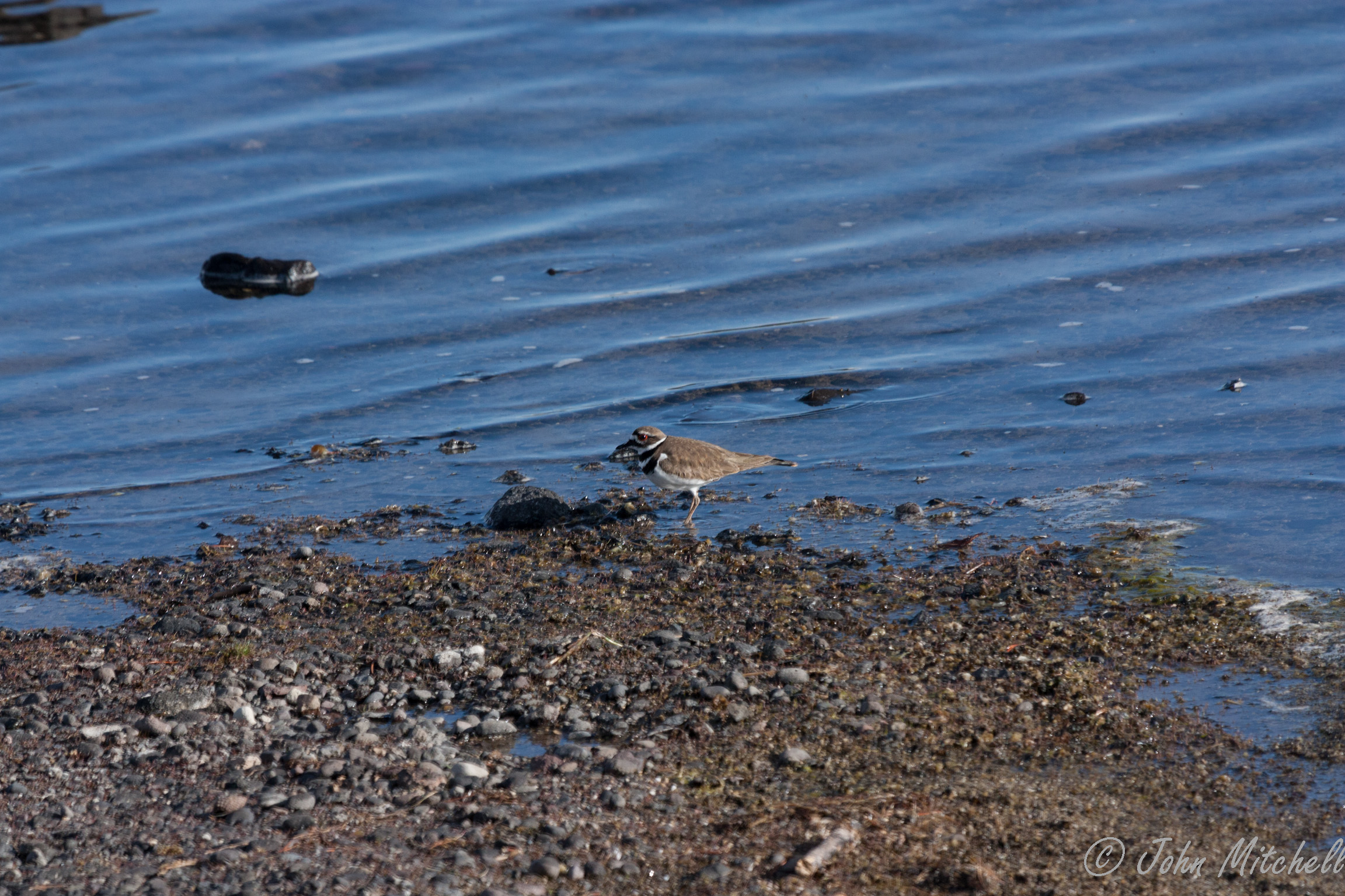
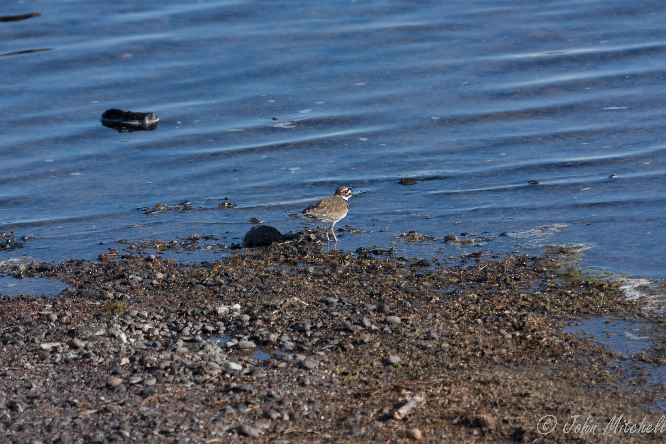
A few Killdeer, which are actually a type of plover:
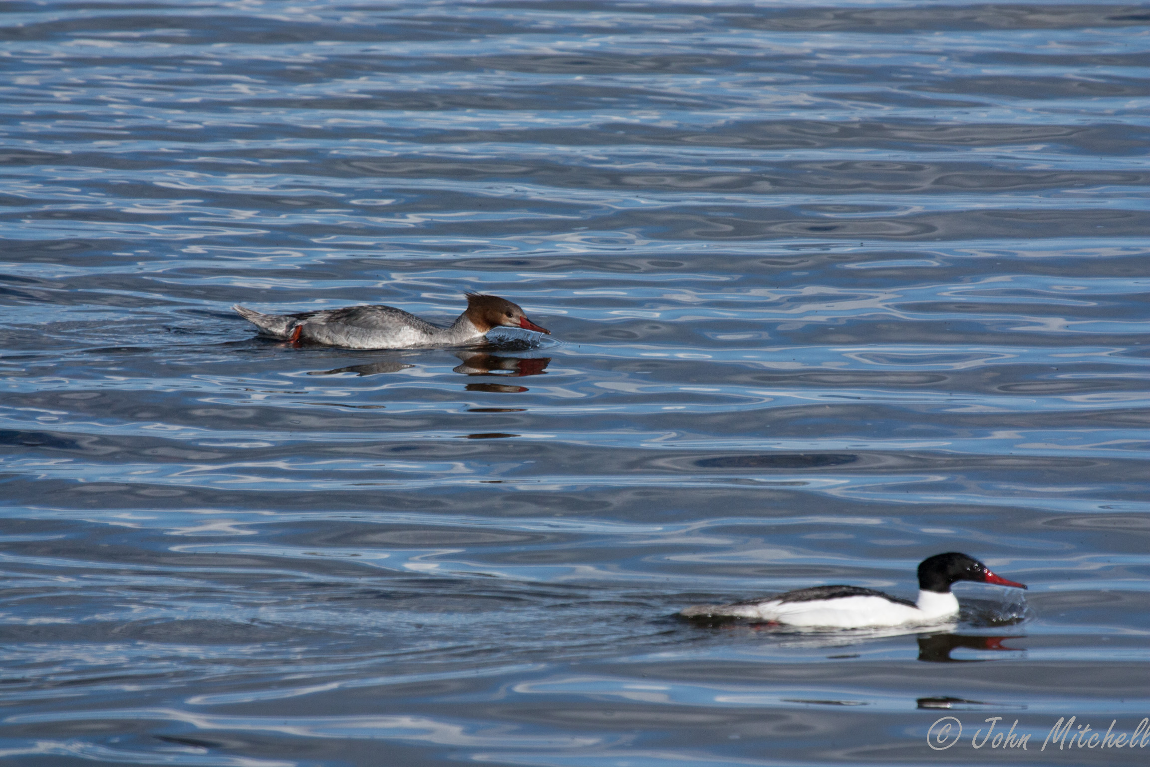
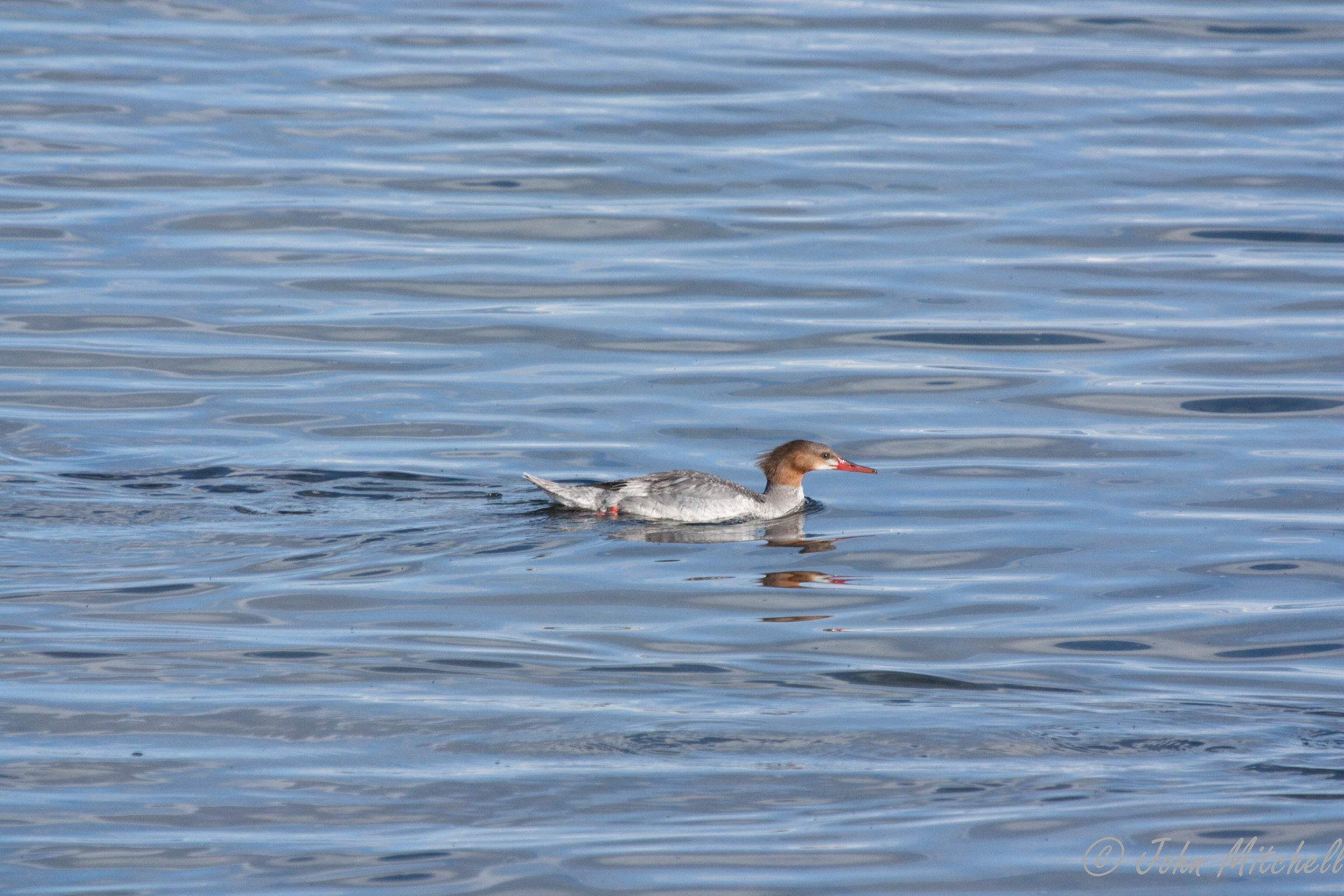
A pair of Common Mergansers feeding (or maybe drowning their sorrows?):

A pair of Bufflehead ducks that were too far away to photograph well:
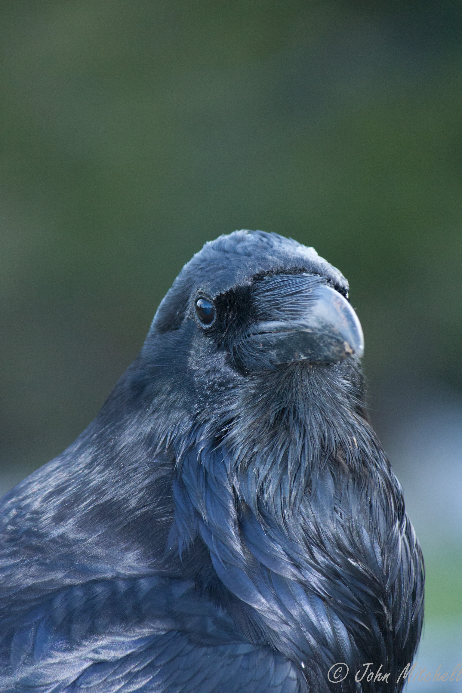
And when we made it to the West Thumb Geyser Basin, we met Bob. Bob liked posing for the camera.
and Kate investigated the mud pool near the trailhead:
We did not fair any better on the hike. It took about 15 minutes to hit the restroom, change to hiking boots, assemble the camera, start the GPS, put on bear spray, etc. The 1.7 mile 1 hour hike took about 2 miles and 1.5 hours. We started by the trailhead and stayed on the trail; we have no idea where the extra .3 miles came from.
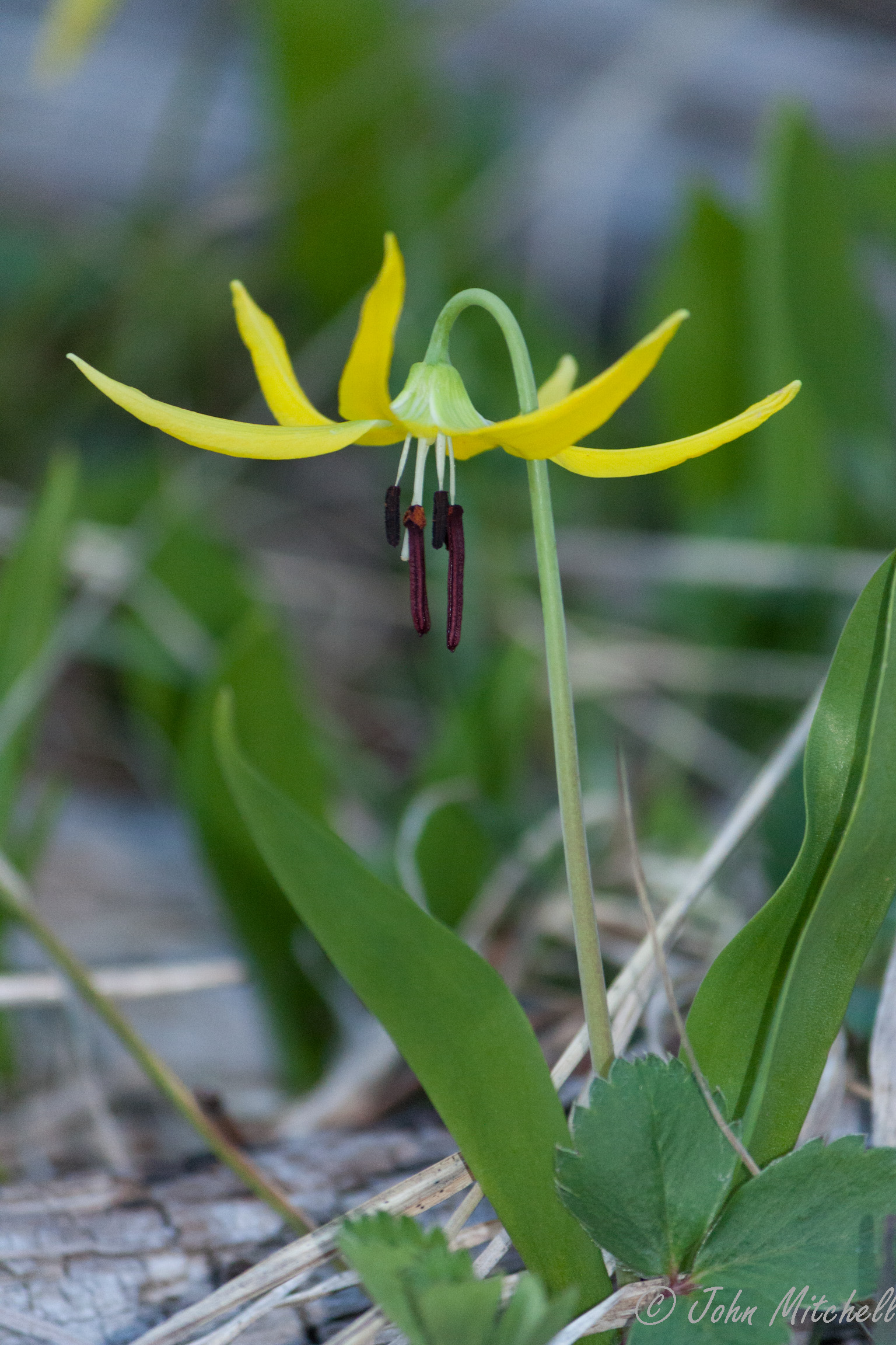
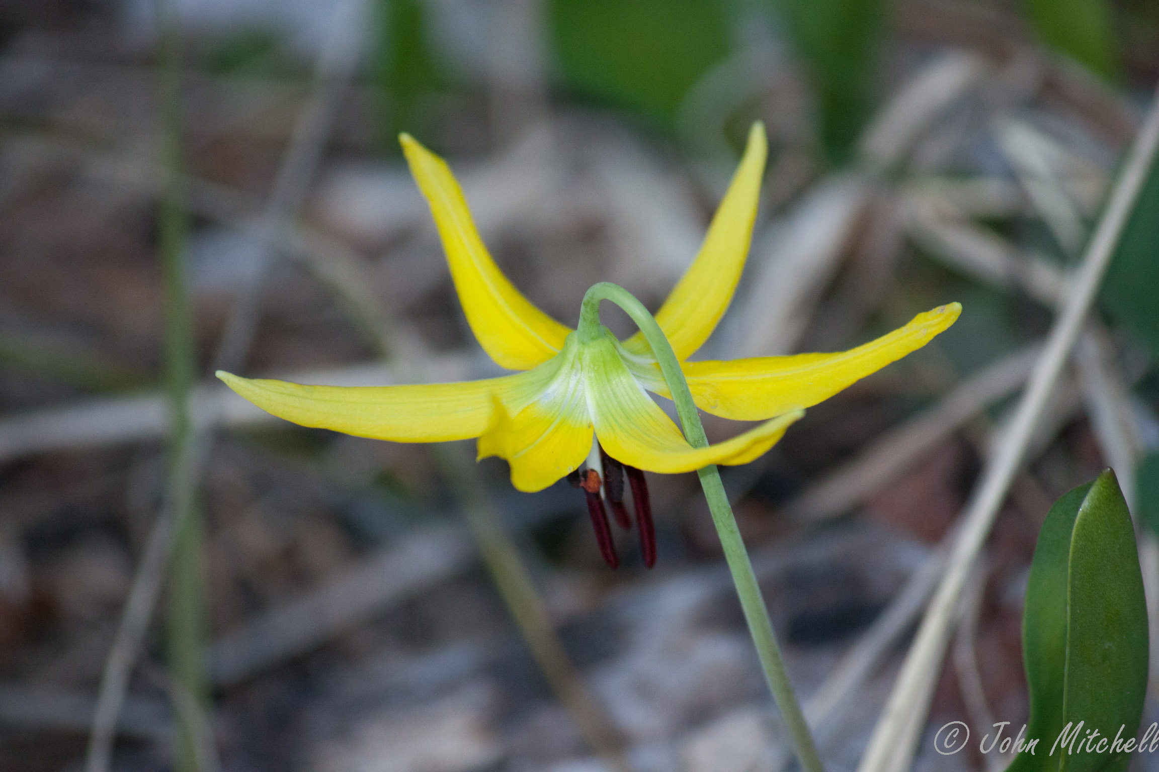
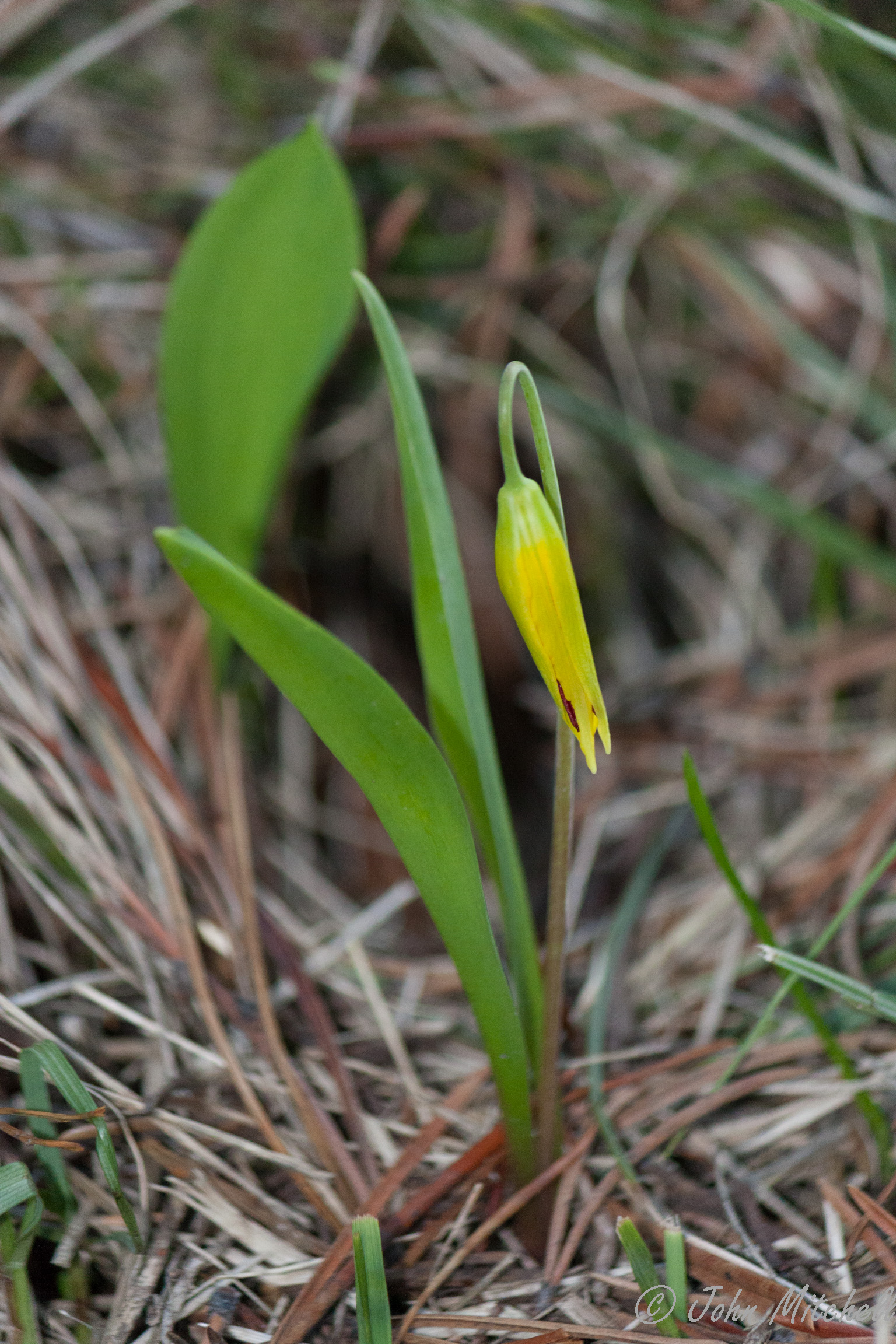
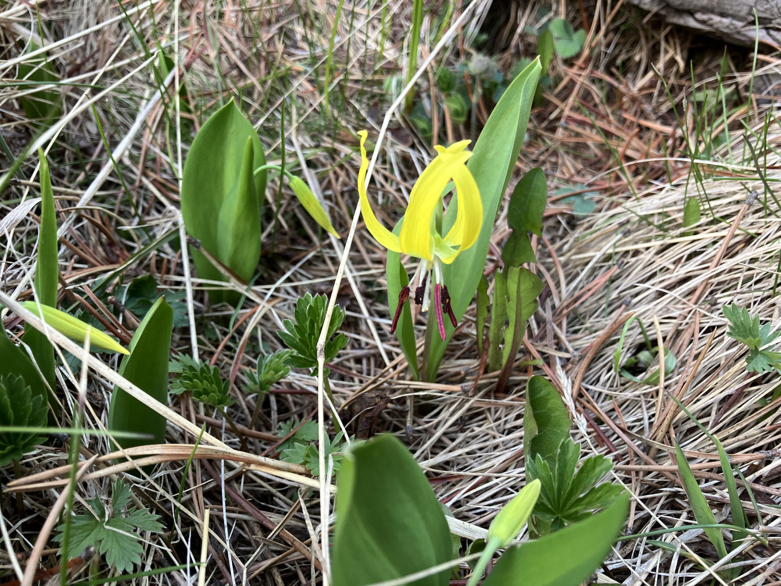
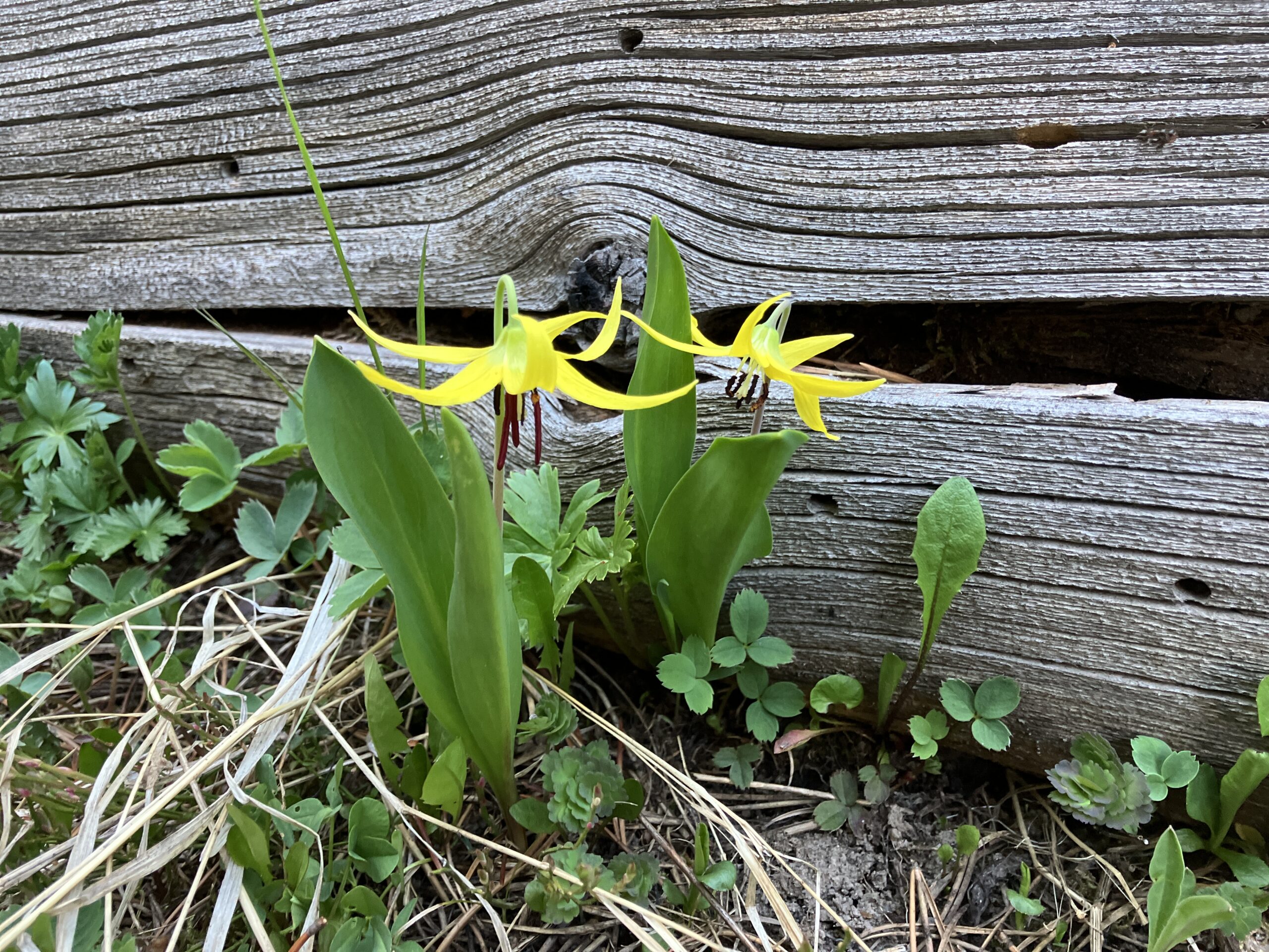
First, there was the glacier lily:

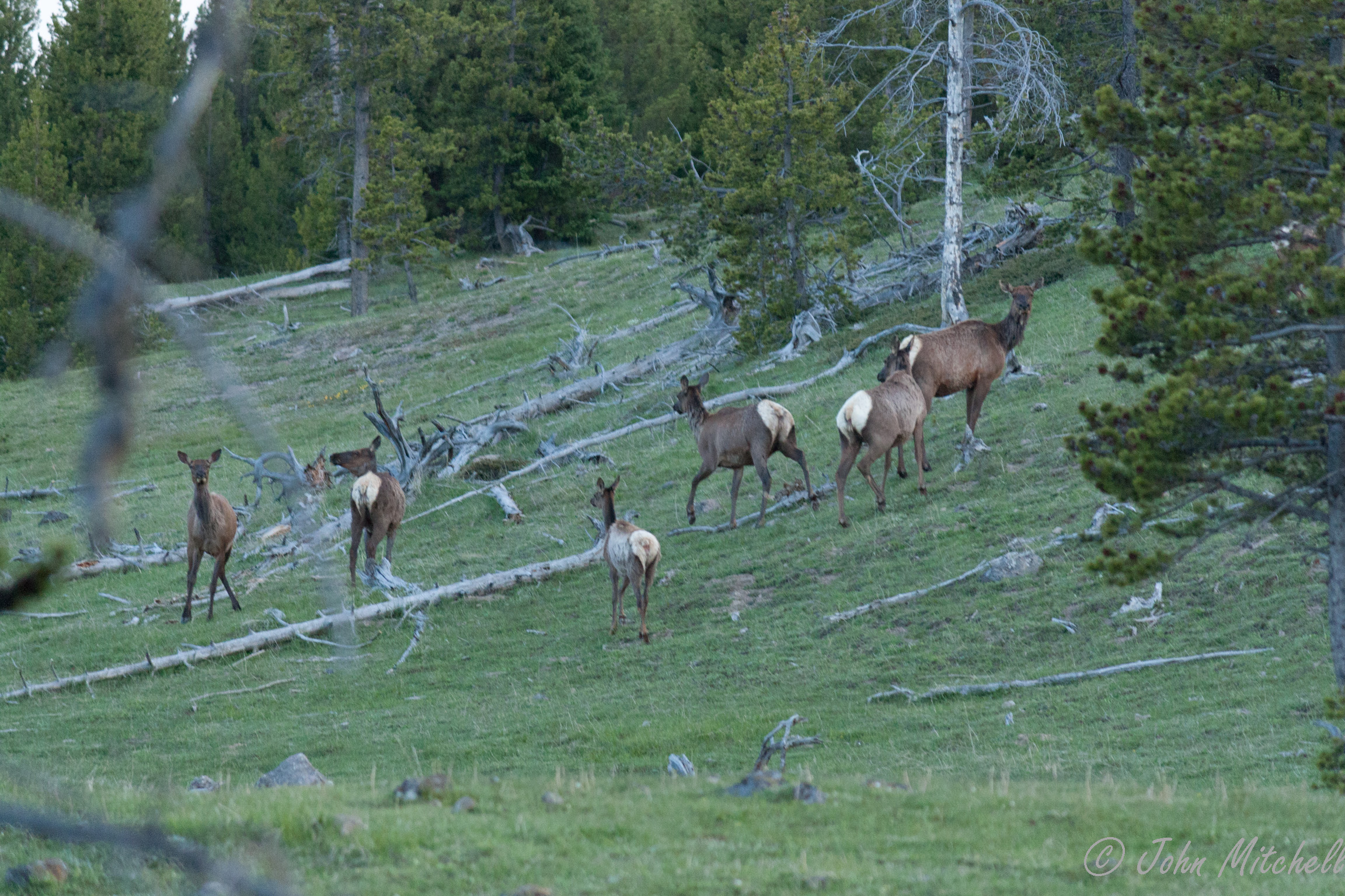
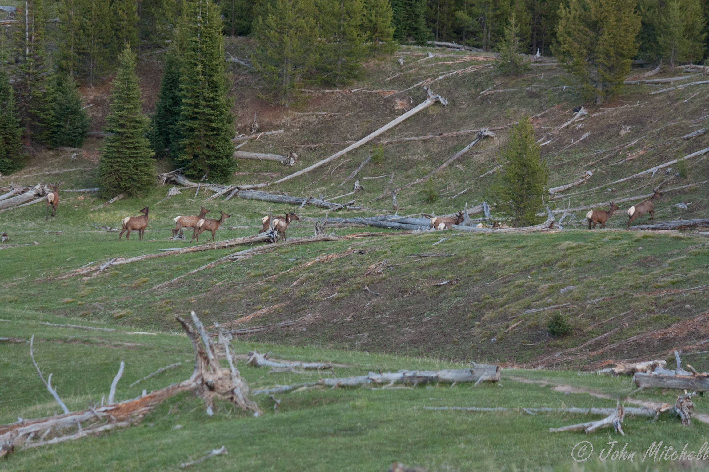
Then, there were multiple herds of elk:
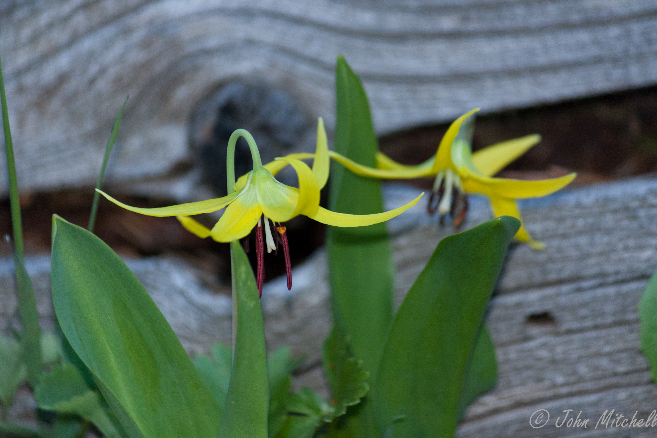
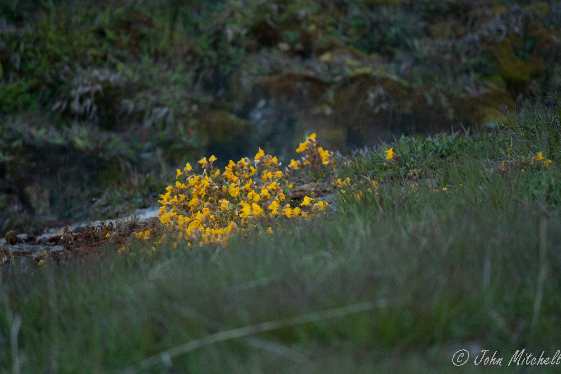
Then, there were more flowers around a smoking and gurgling stream:
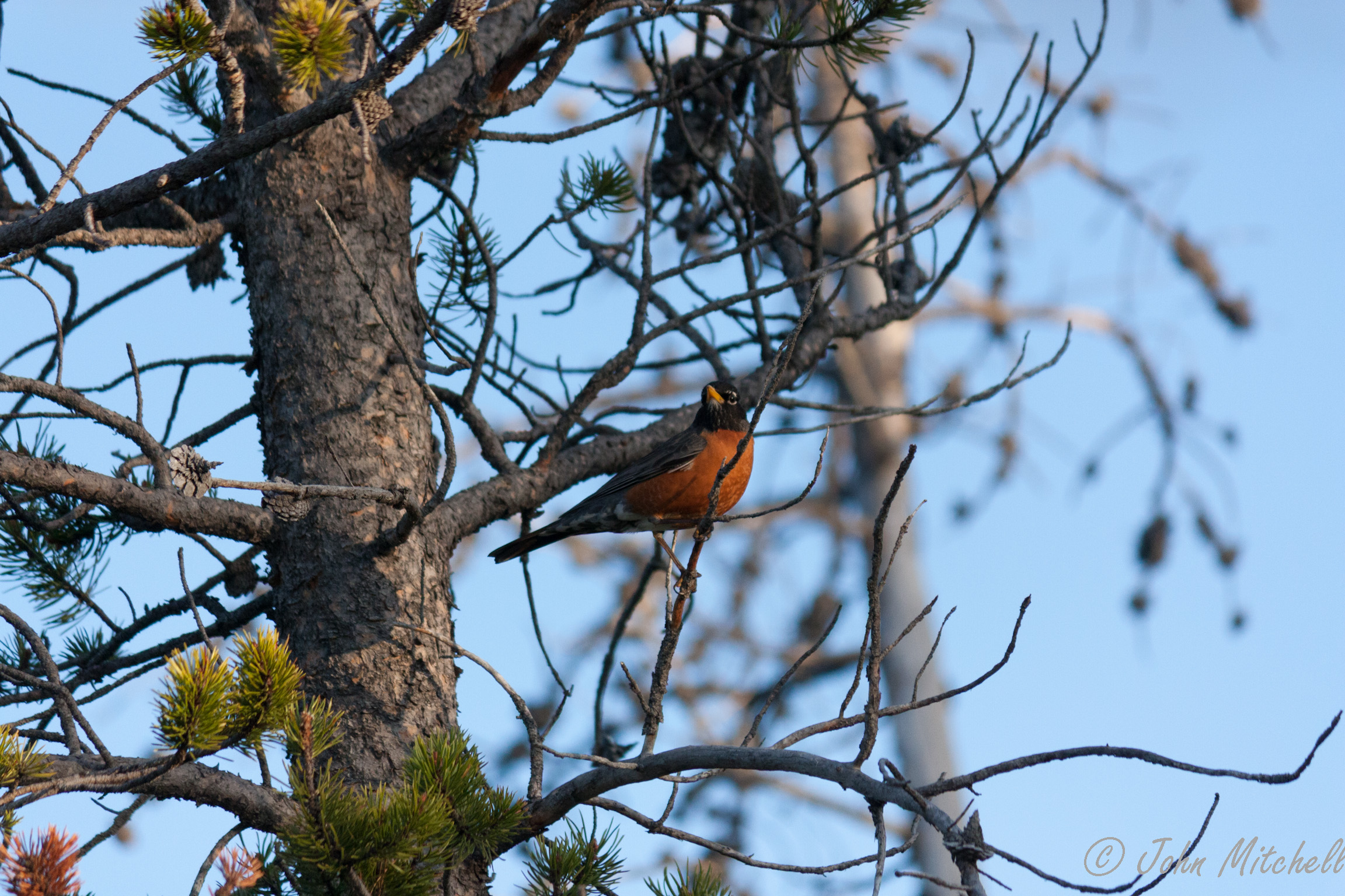
At this point, it was starting to get a little dark, but there was a Robin:
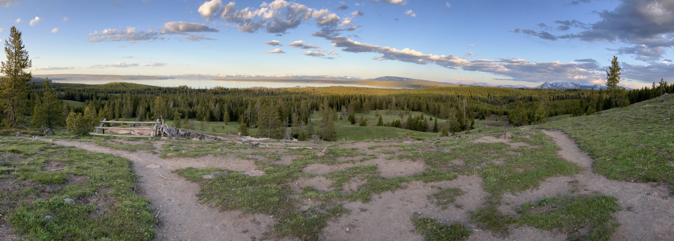
Finally, we made it to the lake overlook. The view was spectacular, but John thinks it looks better from the edge of the lake. (Warning: The first panorama is quite large. If you click it, it might load slow.)


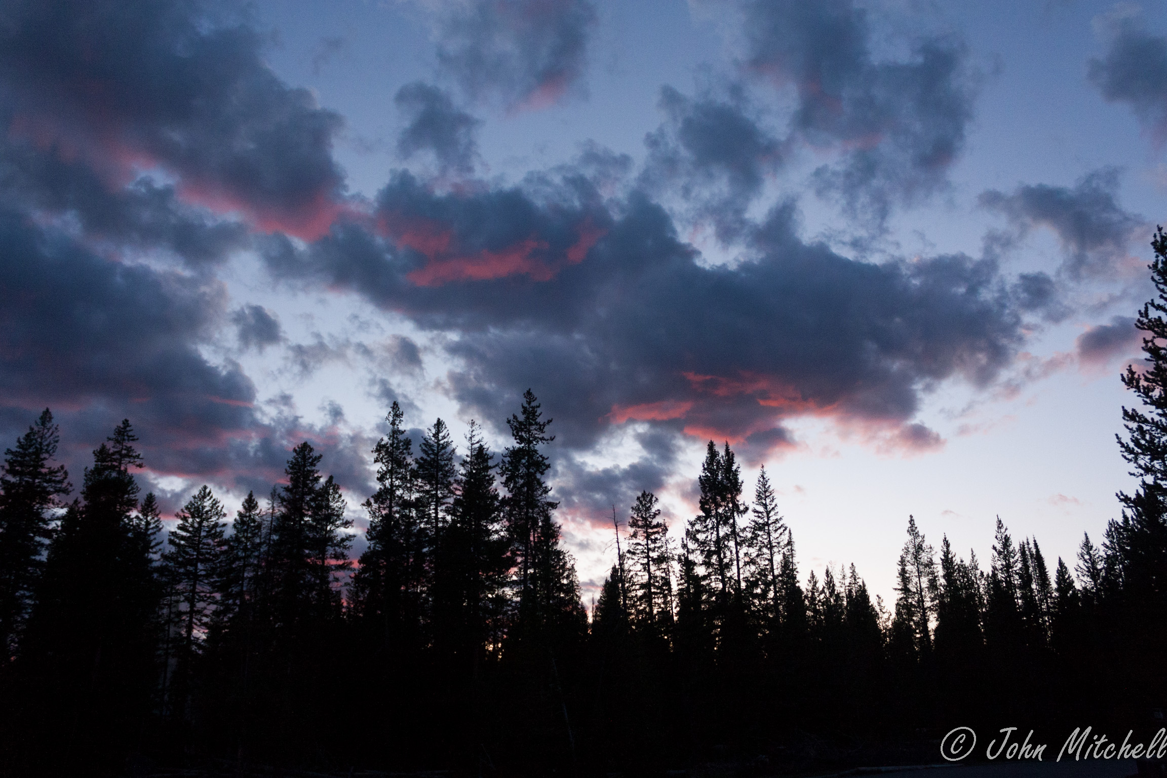
After the overlook, we hurried back to the parking lot to get back before full dark. We made it back as the sun was tinting the clouds. The iPhone captured the yellow of the sky better than the Canon XSI.

We finally made it home about 9:45 PM MDT.
Hiking Trail Notes
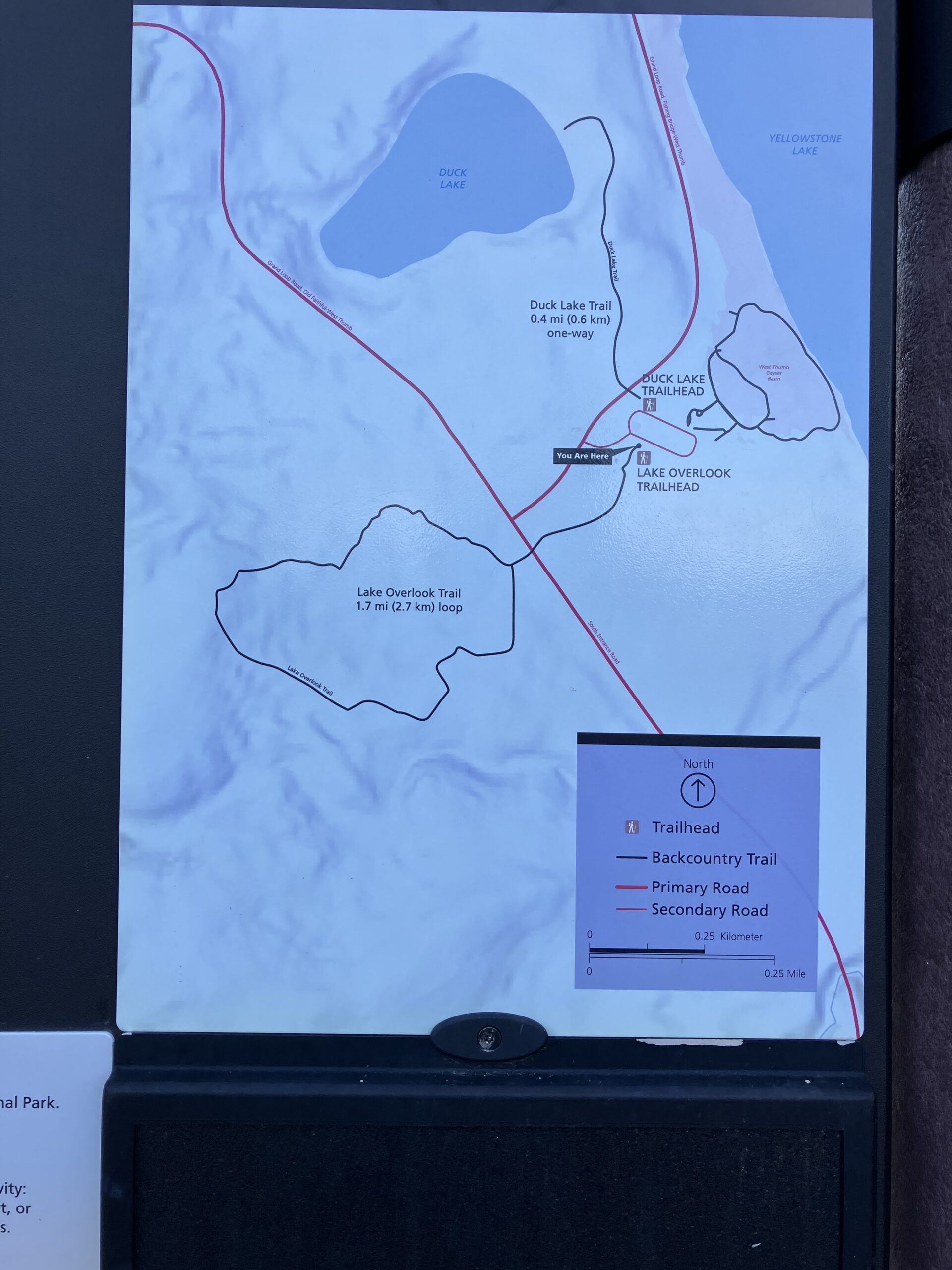
The trailhead appears to be in the parking lot for the West Thumb Geyser Basin about 21 miles south of Fishing Bridge. There is a sign showing the trail map a few dozen feet from the parking lot.
The trail claims to be 1.7 miles with an elevation change of 200 feet. Our GPS reported 2 miles of hiking, and it felt like a lot more than 200 feet of elevation change. This difference in trail length might be due to starting from the road versus the parking lot. This difference in exertion for the elevation might be due to the altitude.
This packed dirt trail is relatively clear, but there are a few trip hazards by way of logs that prevent water erosion. The trail appears to be cleared by the footsteps of thousands of tourists, so the packed dirt is only about 12 inches wide. The obstacles on the trail included a recently fallen pine tree, run off streams, and half-log bridges with one segment out. With hiking boots and a little care, these are overcome with little difficulty.
If you take the right branch of the loop, the trail gets moderately steep and strenuous for a quarter to half of a mile near the overlook. The left branch of the loop has a more gradual slope, except for the last few hundred feet to the overlook.
The trail passes through pine forest and grassy hills. The elk were in the grassy hills beneath the overlook.