Yellowstone National Park, WY, June 2025
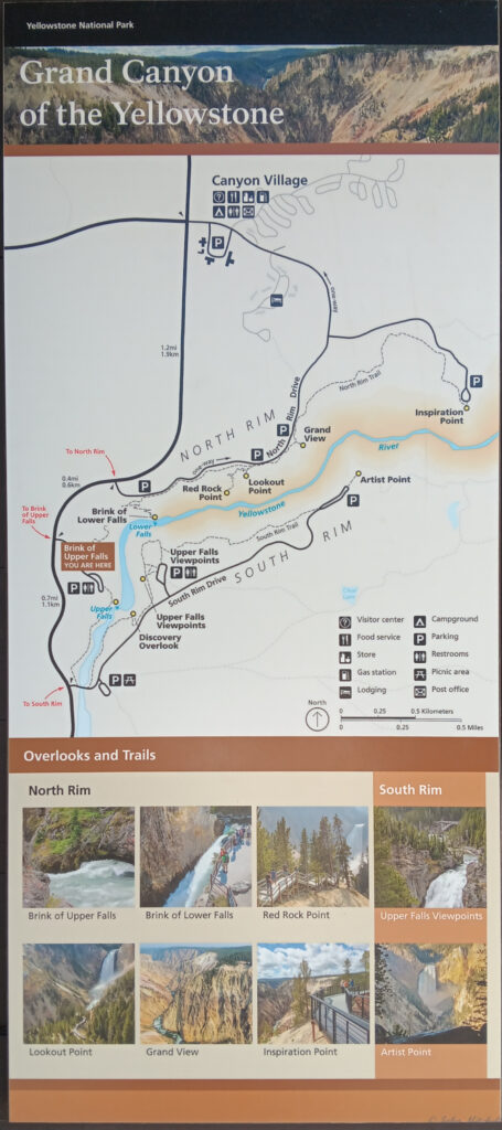
John got a call about a property in Oklahoma that he is trying to sell. On Monday, we knew John was going to be busy dealing with those and other calls. Due to this, we decided to try to get some exercise Sunday. Canyon Village and the Grand Canyon of Yellowstone are just 20 minutes north of Fishing Bridge, except when there is an animal jam. We had visited the South Rim, but we had not visited the North Rim.
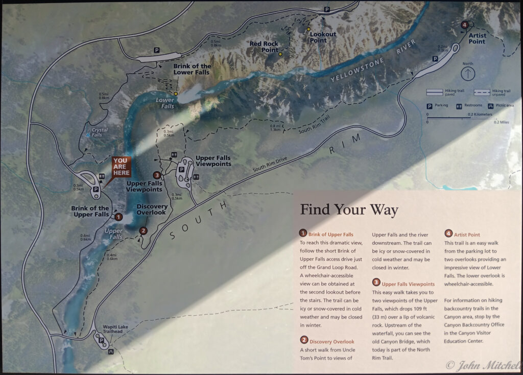
We drove up to the North Rim road to hike about three miles. Our plan was to hike down to the Brink of the Lower Falls, back up, over to Lookout Point, down to Red Rock Point, back up, and return to the car. We turned off Grand Loop Road too soon, and we ended up at the Brink of the Upper Falls. Doh!
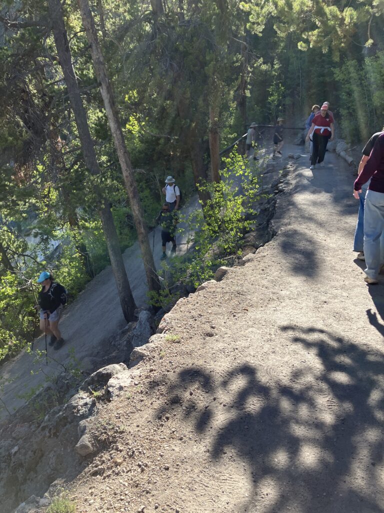
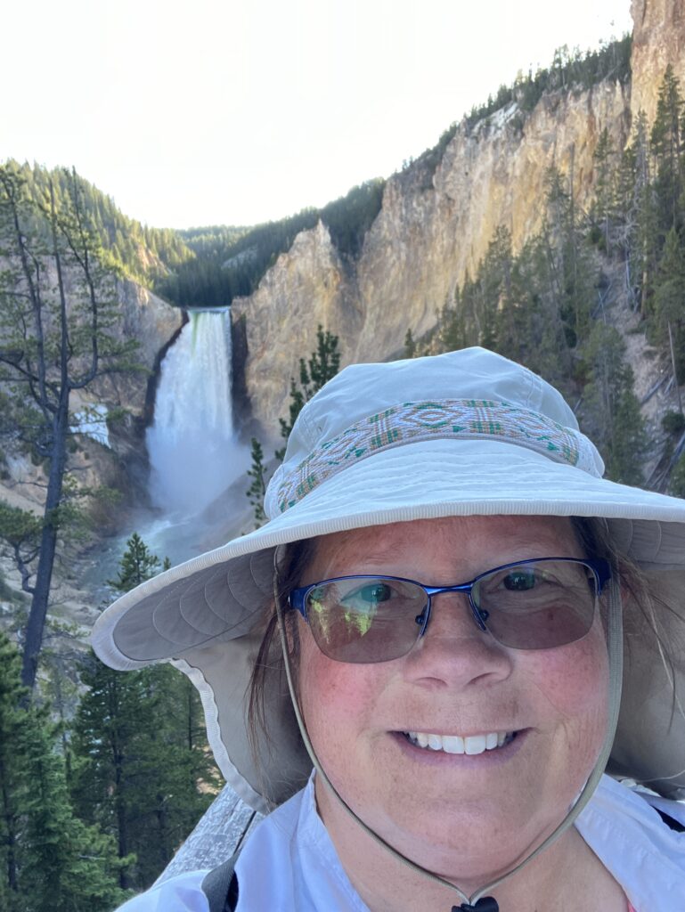
The Brink of the Lower Falls trail was the next turn after the Brink of the Upper Falls. The trail is about a 0.75 miles round trip with a 600 foot elevation change. This is a 30% grade; no semi trucks should be allowed on this trail. You can see the elevation drop of one switchback in the picture on the right.

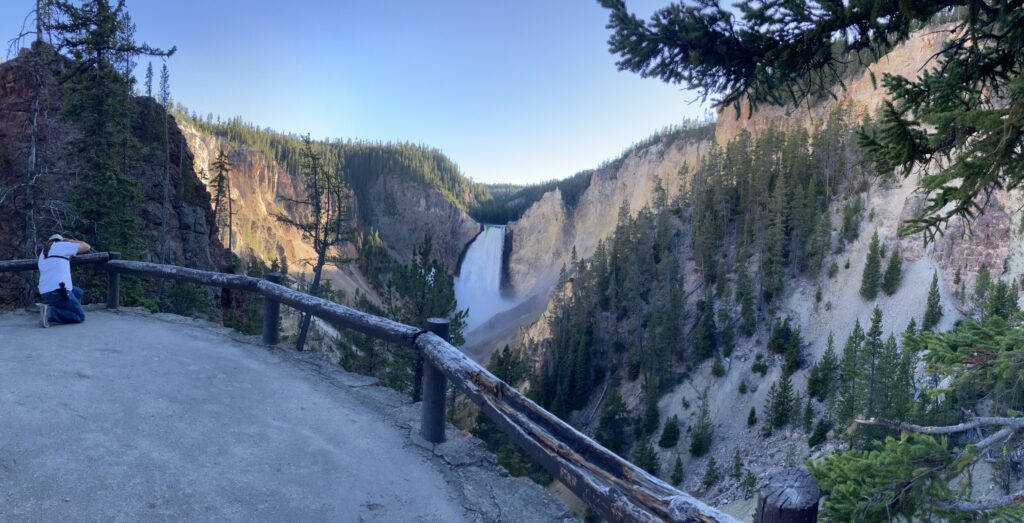
The brink had great views of the canyon back towards Artist Point. We also got to watch the tiny people on Artist Point watching us.

Up close, The falls are difficult to comprehend. A stunning amount of water drops over the edge.
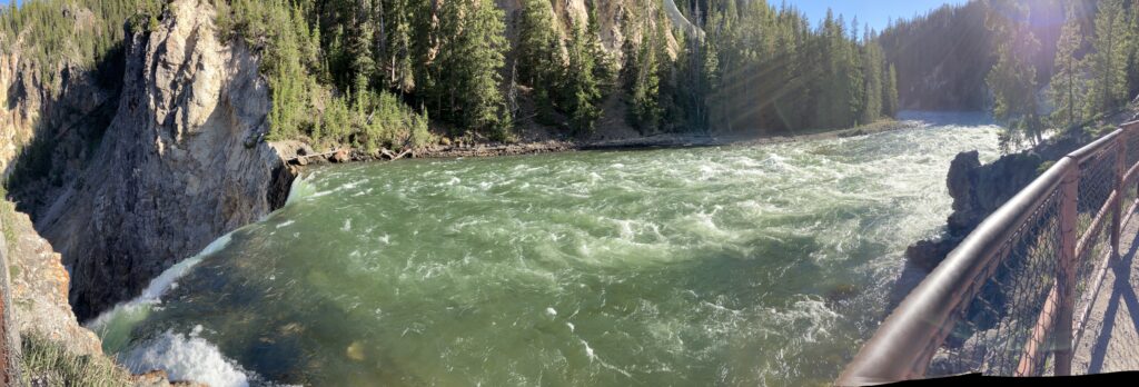
If you look through the mist in the video on the right, you can see small rivers of water flowing down the rocks from the mist and spray of the falls.
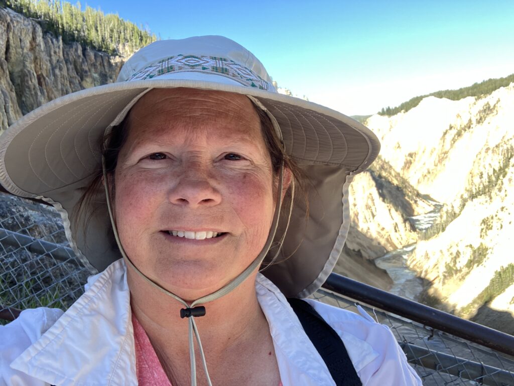
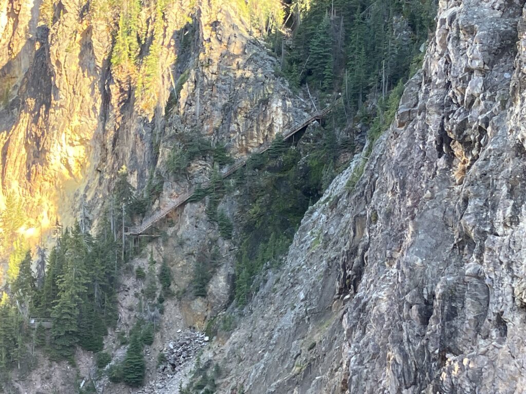
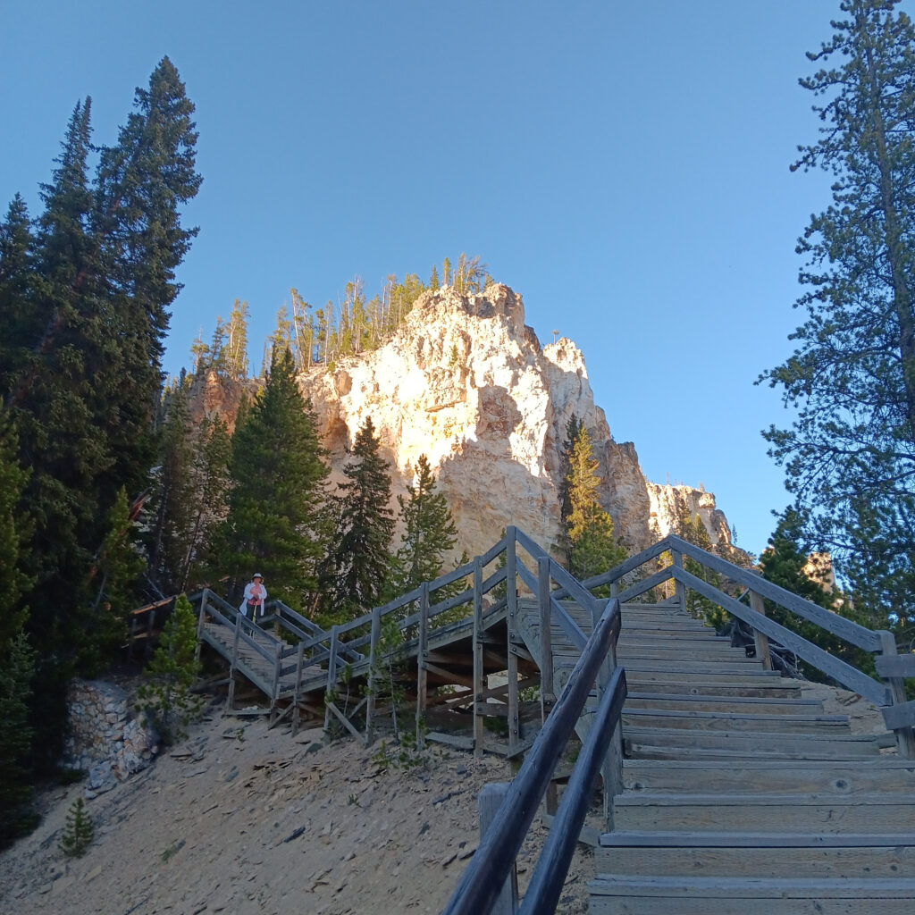
Some time between taking selfies and trying to capture the majesty of the falls, we noticed another path across the canyon. It looked like it was about one thousand rickety steps long, and there was no one on it. Maybe the rangers direct the unpleasant visitors to that path.
The trail felt like it was about 0.25 miles down and 1.75 miles back up. We are not sure how they bend space and time to get that effect. Bending space and time sounds expensive; that must be where most of the Yellowstone National Park budget goes.
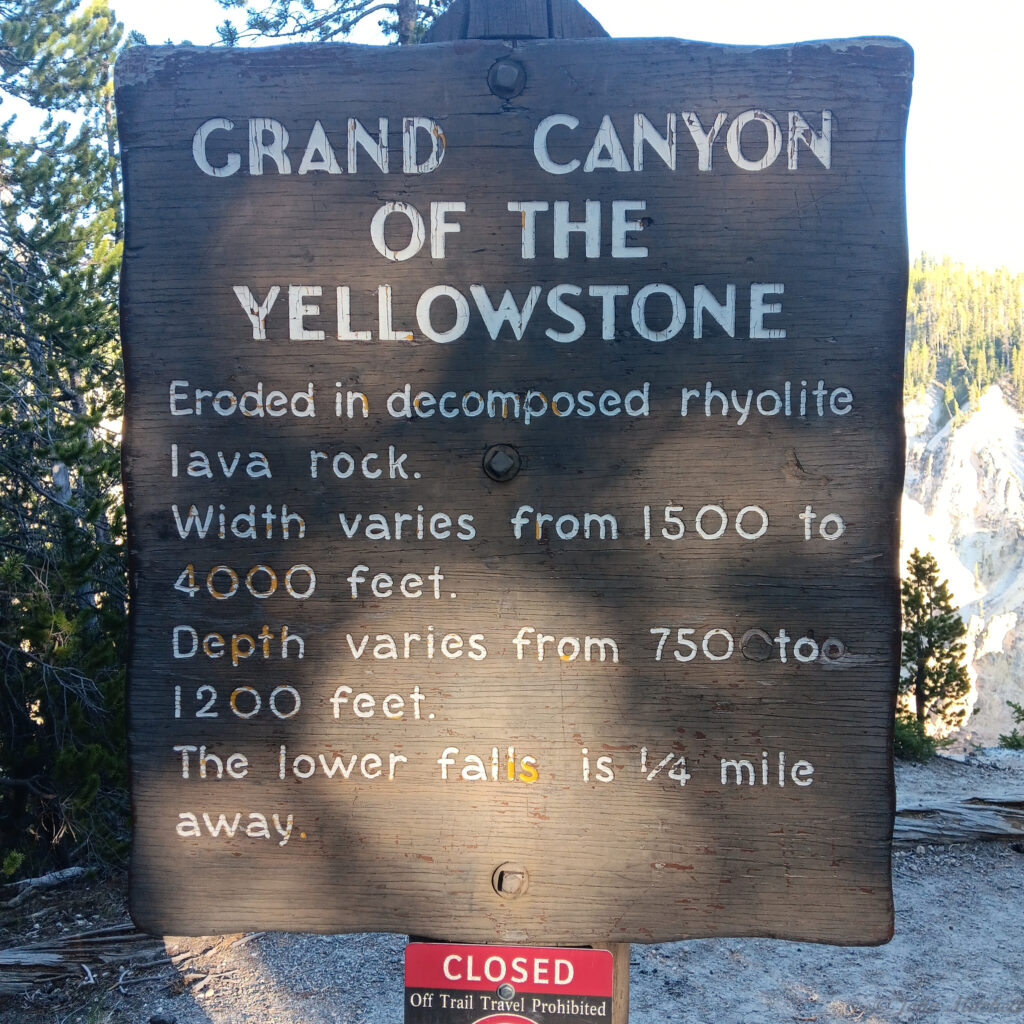
The hike between the two trailheads was about .75 miles each way. We heard a lot more birds on the North Rim of the canyon than we did on the south rim, but we did not see anything, except ravens, on the hike to the Red Rock Point trail. There was an informational sign on the trail. Now we know how far down it is. Physics taught John that this is about 7-9 seconds to the bottom!
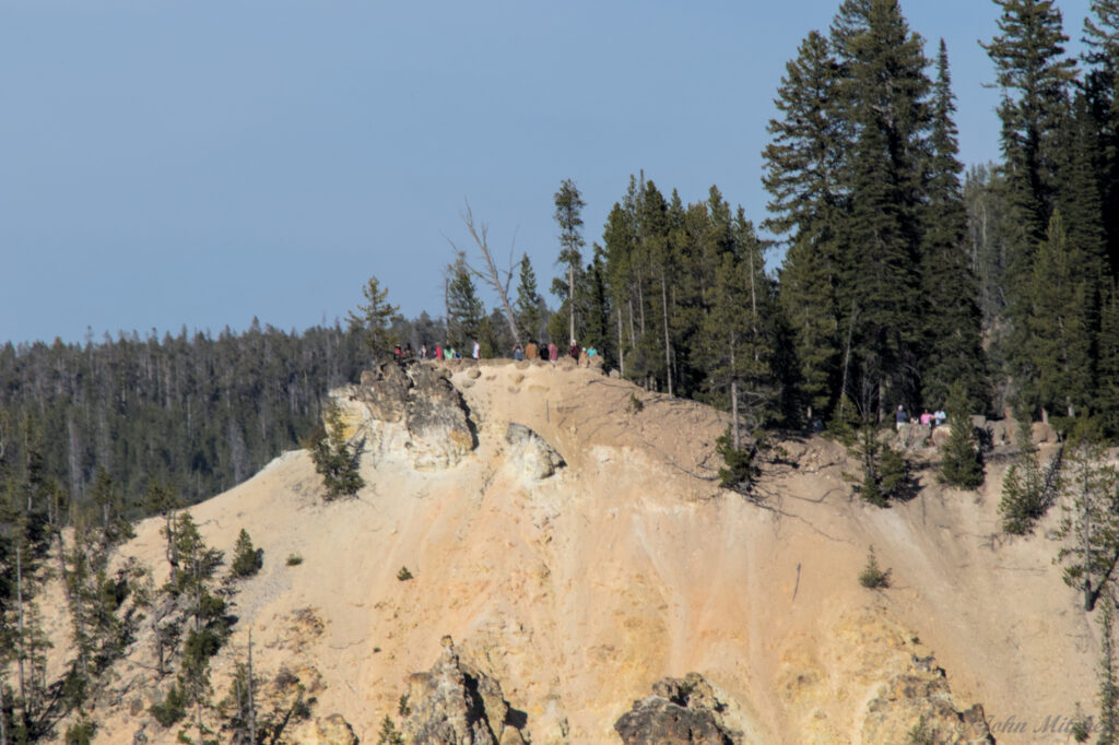
The Red Rock Point trail is about .6 miles round trip with an elevation change of about 250 feet. Next to the trail for Red Rock Point is the trail for Lookout Point. The smart people got to Lookout Point; it is a 50 foot long trail with 20 ft of elevation change.
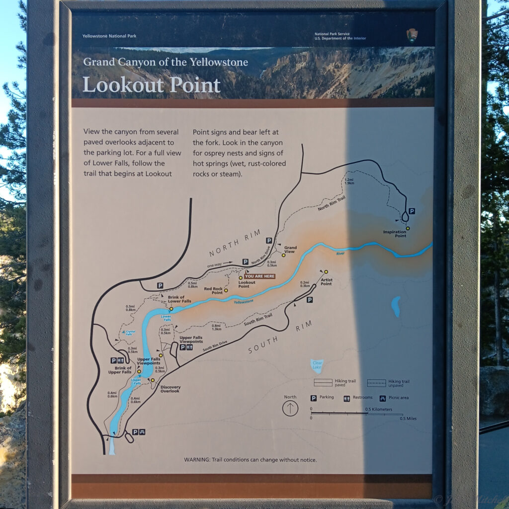
At the intersection leading to Lookout Point or Red Rock Point, there is an information sign about the thermal vents along the canyon.

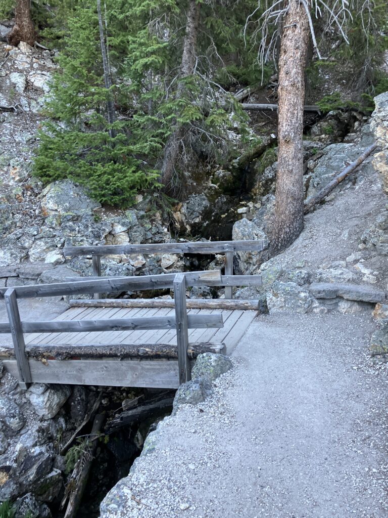
The trail down is semi paved, but it is steep and narrow. At least the bridge looks sturdy … ish, and there are lots on hand holds, if the path collapses.
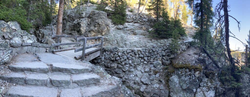
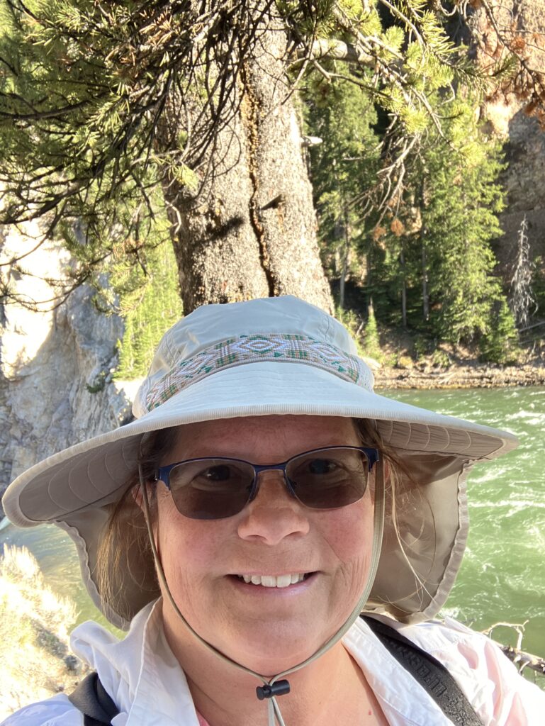
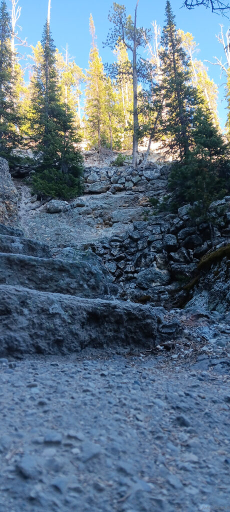
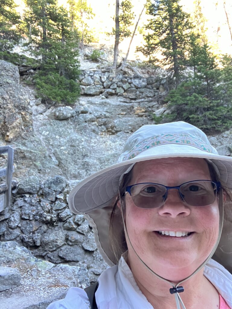
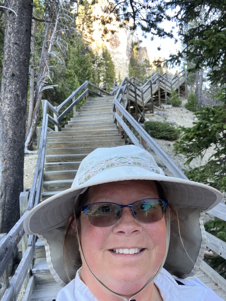
In the left picture, you can see the stone sided switchbacks going up the hill. At the bottom of the trail is a long set of wooden stairs that make you question the carpentry skills of the people working at the park. From there, you can see the tiny little specks of people observing from Lookout Point and Kate on the stairs.
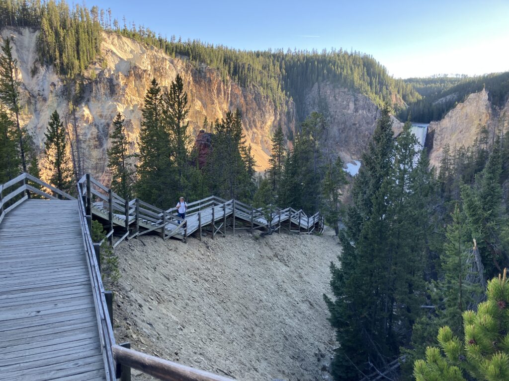
When we arrived at the observation deck, the lower falls were in shadow. We think they would be vastly more colorful and beautiful in full sun, but we are not hiking that again to find out. If you hike it during the day, send us a picture.

And then, we had to go back up the stairs.
After the first hike, it felt more like 1000 feet of elevation change than 250 feet.
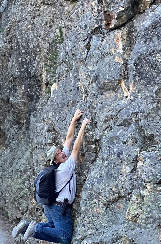
Hiking back on the connector trail, we heard a Clarke’s Nuthatch that sounded like it was right next to us. It turns out it was. Sadly, John’ camera was in the backpack; he was too tired to be carrying it.
The total was about 2.85 miles. Due to the exhausting elevation changes, there are not a lot of pictures in the middle.