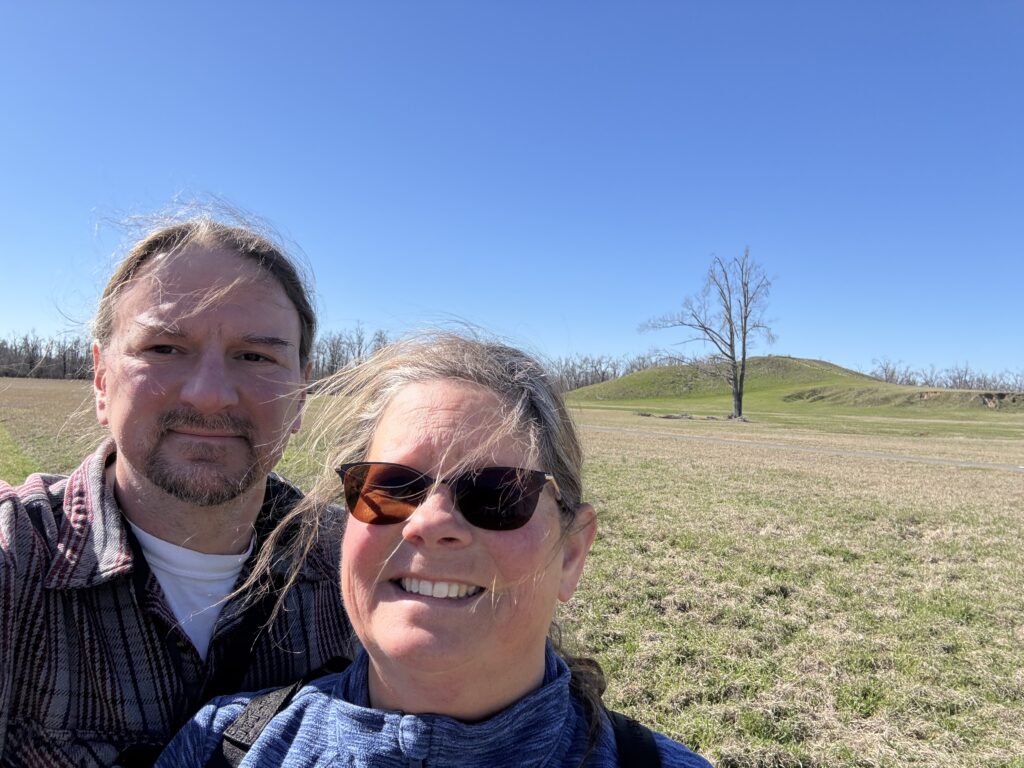
Poverty Point World Heritage Site, LA, February 2026
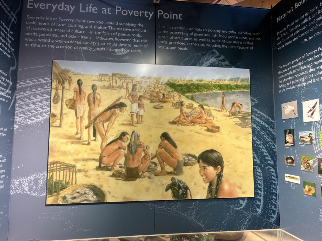
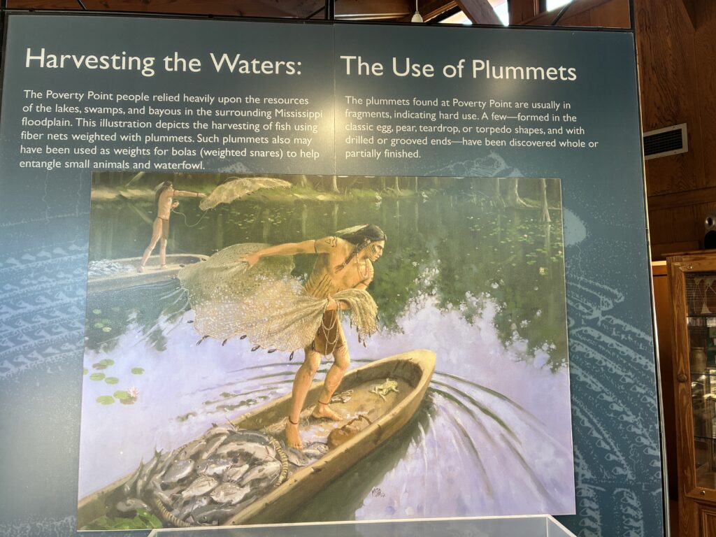
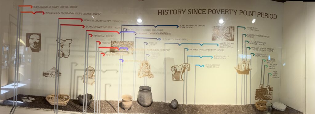
Poverty Point is a State Historic Site, National Monument, and a UNESCO World Heritage Site. The site is owned and operated by the State of Louisiana. Poverty Point is the location of a major cultural and trade center from around 1700 to 1100 BC. Archaeologists have unearthed millions of tools, some originated from hundreds of miles away, which indicate that it was a residential, trade and ceremonial hub for some 5,000 people. The park website is here. (If you click it, you will have to go back to GlampingWithCats from the park page.)
In more modern times, it was a cotton plantation, which is where the name comes from. Some plantations had similar names, such as “Hard Bargain” or “Hard Times”, to reflect the difficulties of farming or low yield of the soil. We imagine someone selling land to young people wanting to build a life for themselves, and the salesman tells the people what a glorious and luxurious life the land will provide. After a single year of drought, flood, or pests damaging their crops, they probably get a little bitter. In this case, historians think the plantation was named after a location in Kentucky.
The site has a visitor center with (surprise!) a store, information counter, a large collection of artifacts, and informational displays about the peoples that created the mounds.
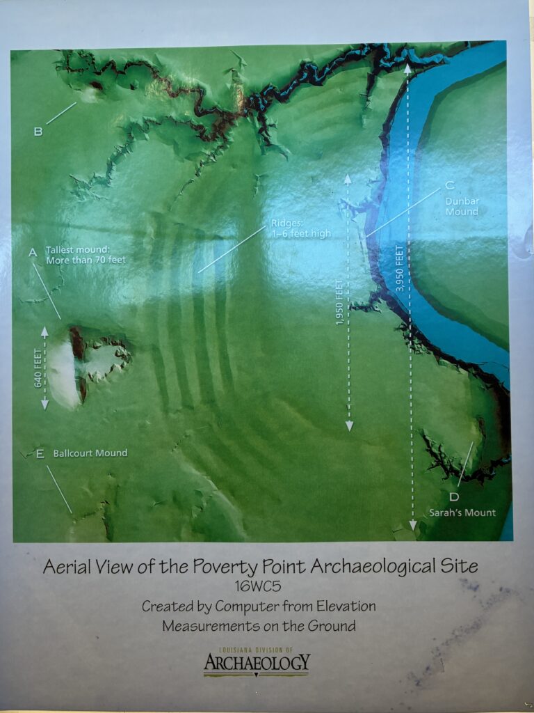
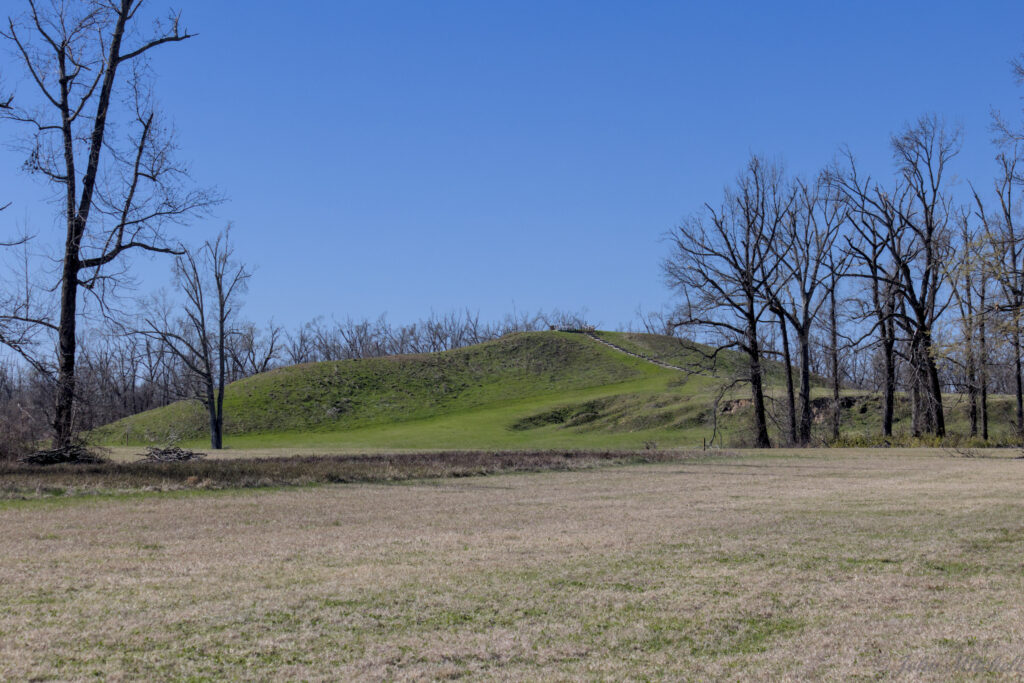
The site has one of the largest earthen works structures in North America. The largest mound is T-shaped with six concentric half-rings opening away from the mound. Archeologists believe the rings had residential buildings built on them. Today, the rings have eroded and been damaged by plowing. There are also some outlying mounds and an open plaza in the middle. There is a hiking path and driving path around the park that cover the same basic information and locations.
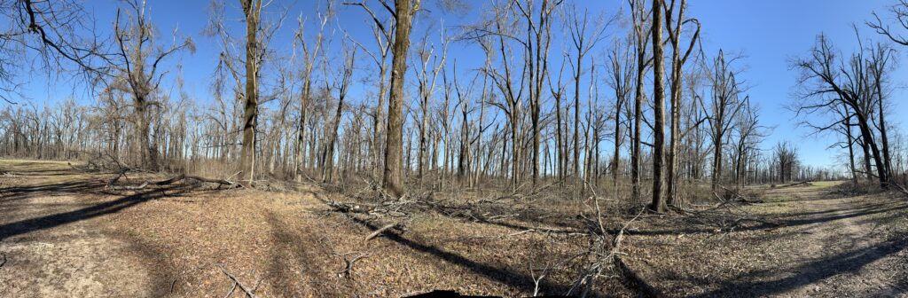
There was an ice storm on January 25th that damaged trees all over the area. Some of the railings at the park were destroyed, some of the trails were not yet cleared, and the grounds were covered in branches and log piles. The last third of the trail was largely closed.
The trail leaves from the Visitor Center, but, due to ice damage, you had to leave from the front to get on the trail to the docks. The docks are a low area near the Bayou Macon that travelers would land from crossing the water. There is a (believed to be an artificial) rise leading from the docks to the plaza that caused the plaza, residential ridges, and Mound A to be more dramatically revealed to arriving visitors.
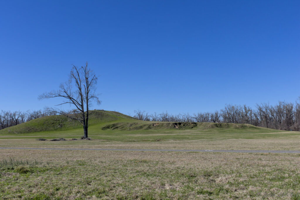
From the docks, you head to a small mound, Mound D, that has two graves on top. The park refers to it as Sarah’s Mound.
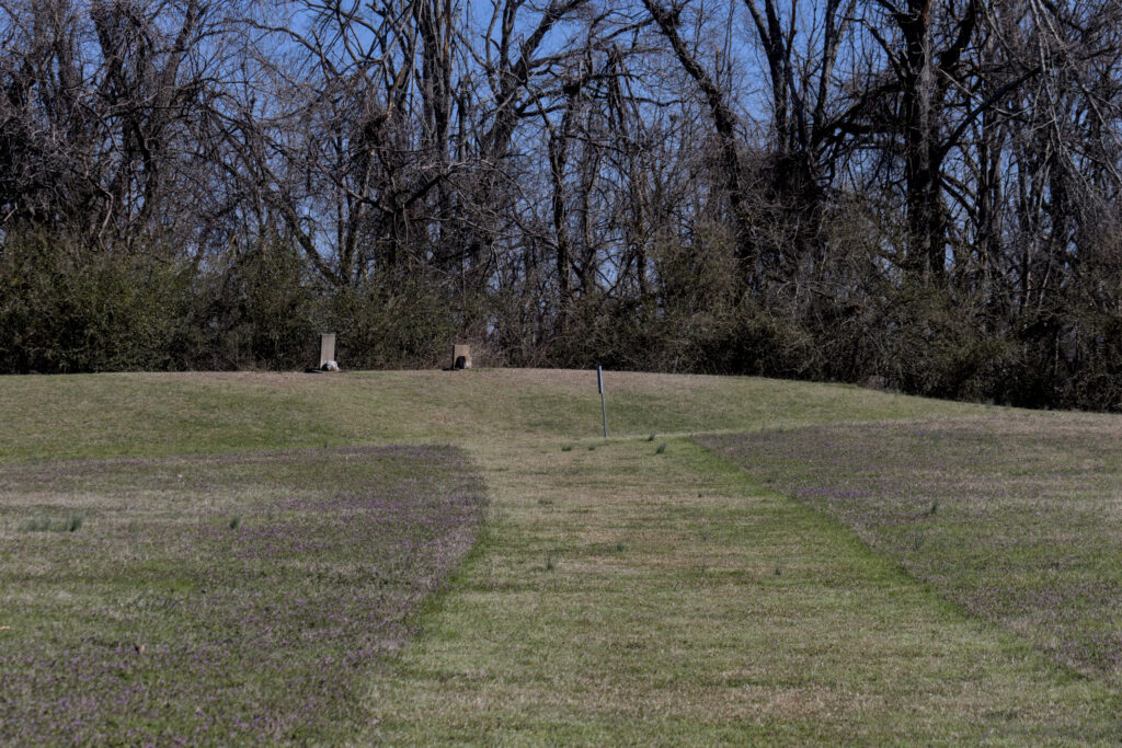
Next, you cross over the south ridges that had archeological evidence of residential buildings. The ridges are very difficult to see on the south end due to erosion and plowing during the plantation days. The park leaves the ridges with taller grass to make them more visible. You can see this in the Google Maps overhead view here. (If you click on it, you will need to go back to GlampingWithCats from the Google Maps page.)
Across the ridges is a view of Mound A from the side, while walking towards Mound E. Archeologists are unsure of the purpose of most of the mounds.
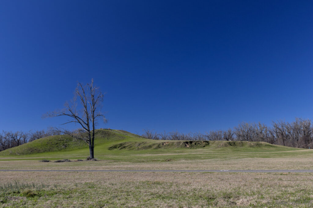
At this point, John remembered his circular polarizer. The polarizer removes glare and makes colors more vibrant at the cost of less light. The biggest difference is that sky becomes a deep blue and reflections are cancelled out.
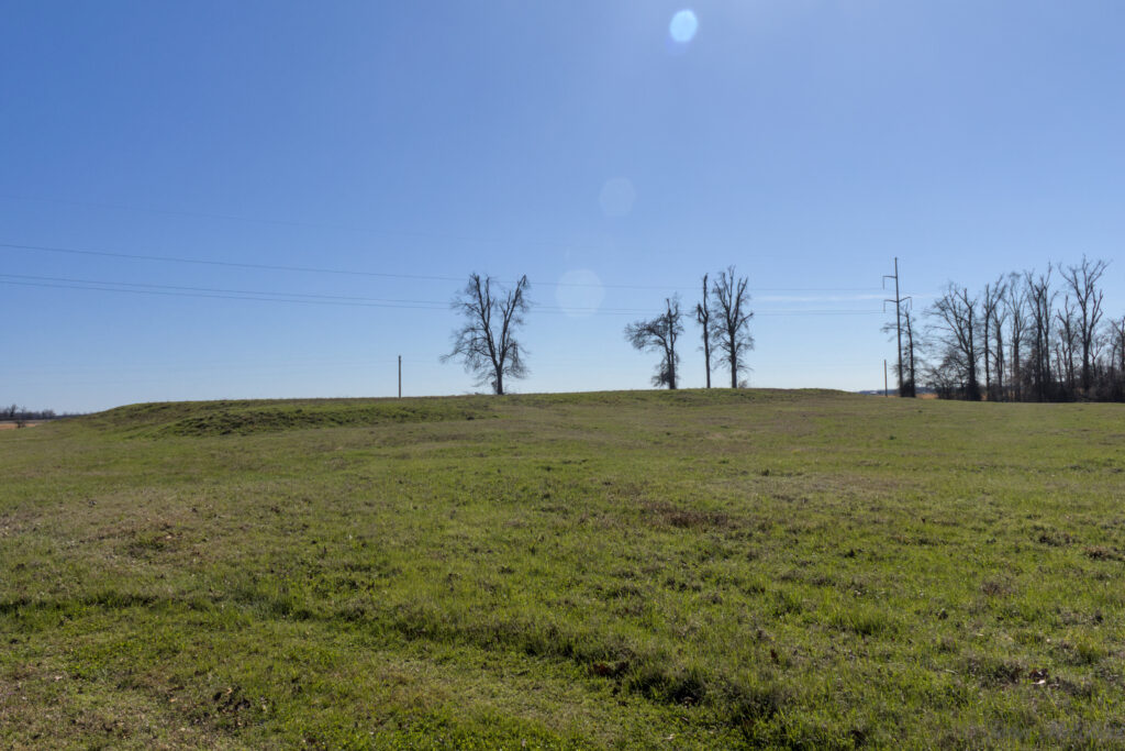
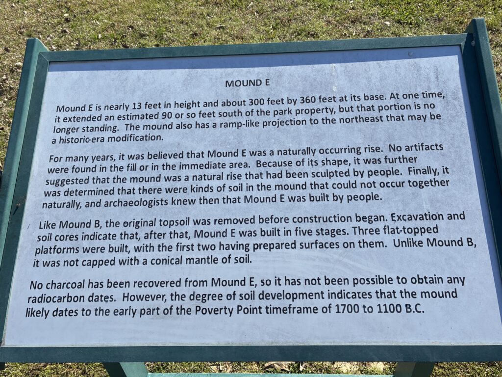
And this is Mound E. The maps suggests that it is a raised ball court. Probably not baseball or football.
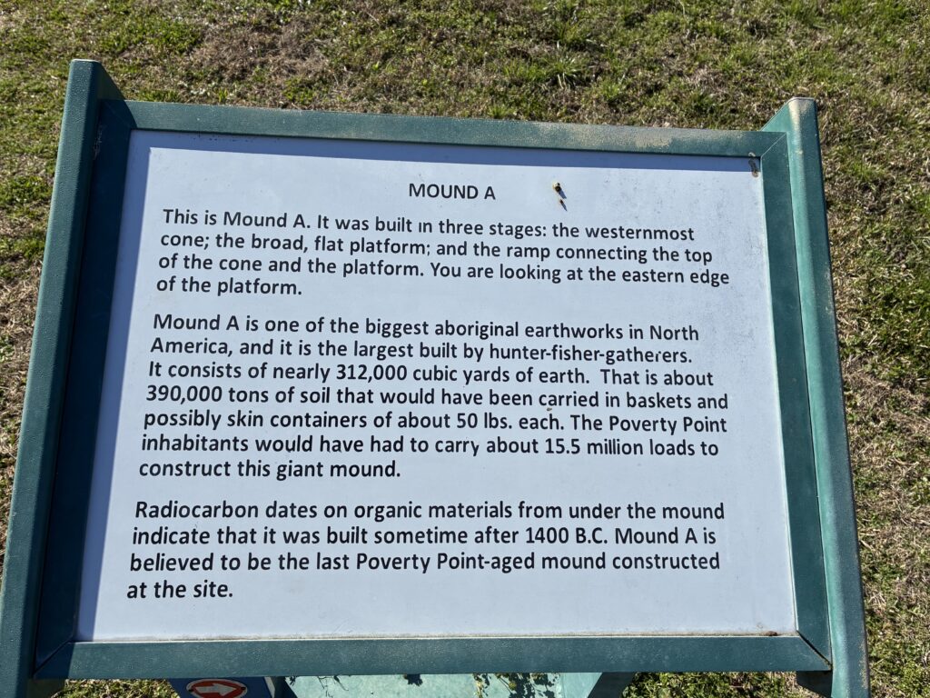
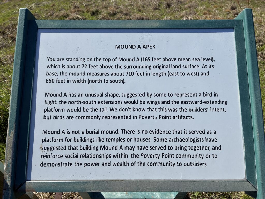
The other mounds and ridges are only about three to eight feet tall. Pyramids, they are not. At 70+ feet tall, Mound A is impressive. You can walk up a trail on the base part of the “T”. The view up top is also impressive, which might have been the point.
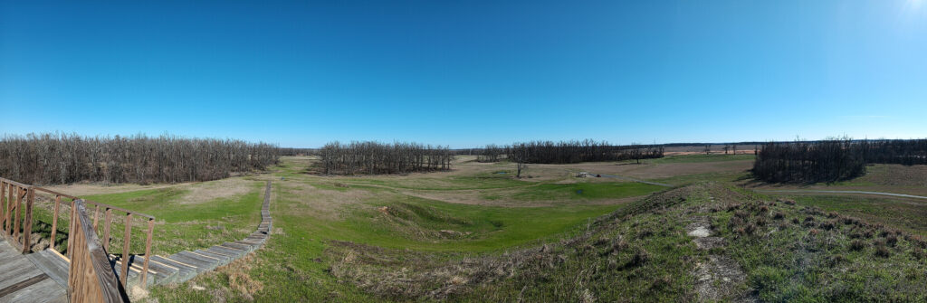
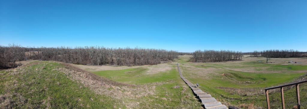
A nearly 180 degree view from roughly north-east to south-east to south-west. You can see the stairs up the mound on the left with the Visitor Center in the distance between the trees. In the middle, you can see the vehicle stop for walking up the mound. On the right, between the gap in the trees, is Mound E. From the height, you can not tell Mound E is even a mound.
This is about a 135 degree view from south-east to east to north. You can see the river through the trees and the driving path in front of Mound A.
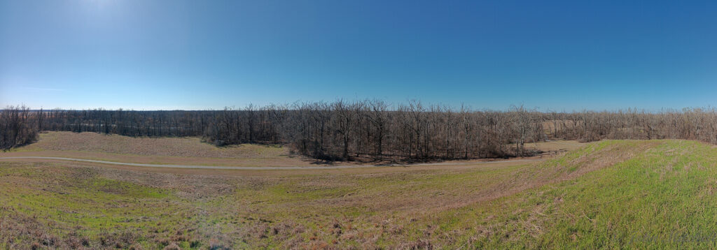
Another nearly 180 degree view that runs from north to east to south. This provides a better view of the trail up the back of Mound A.
Leaving Mound A heads between the borrow pits on the left, where dirt was removed to build Mound A, and the northern residential ridges on the right. These ridges were slightly more visible because they had to build them up more to keep them the same height as the southern ridges.
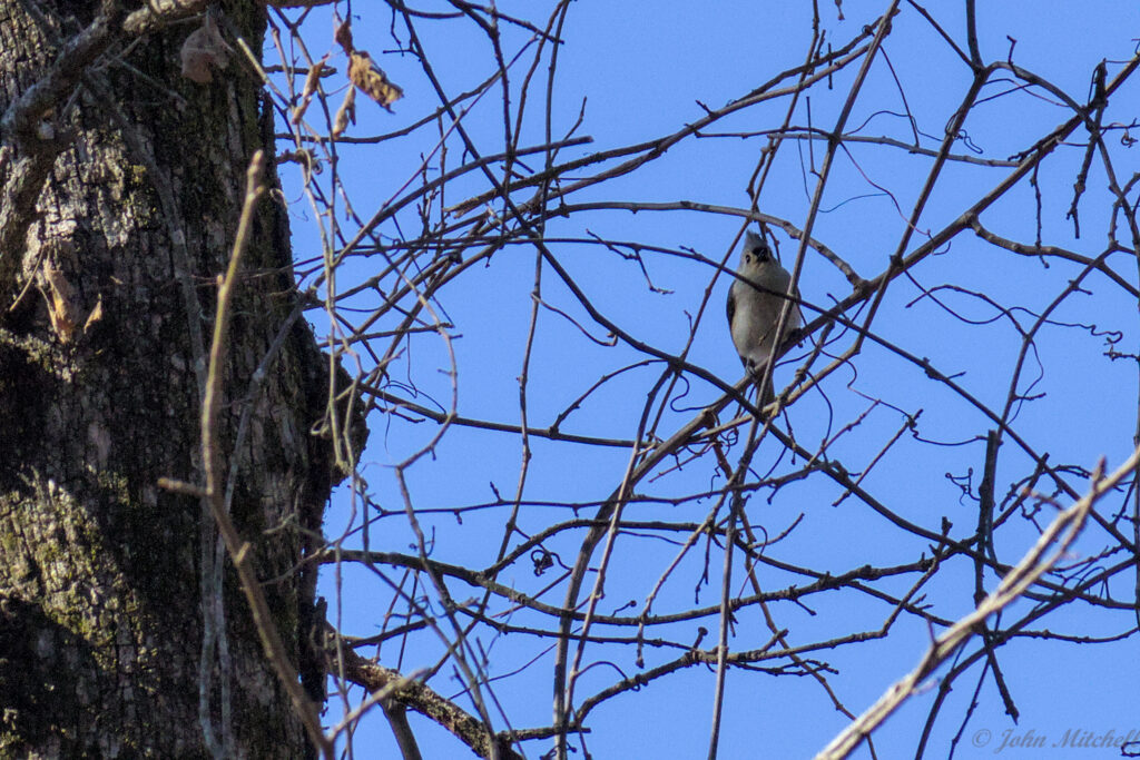
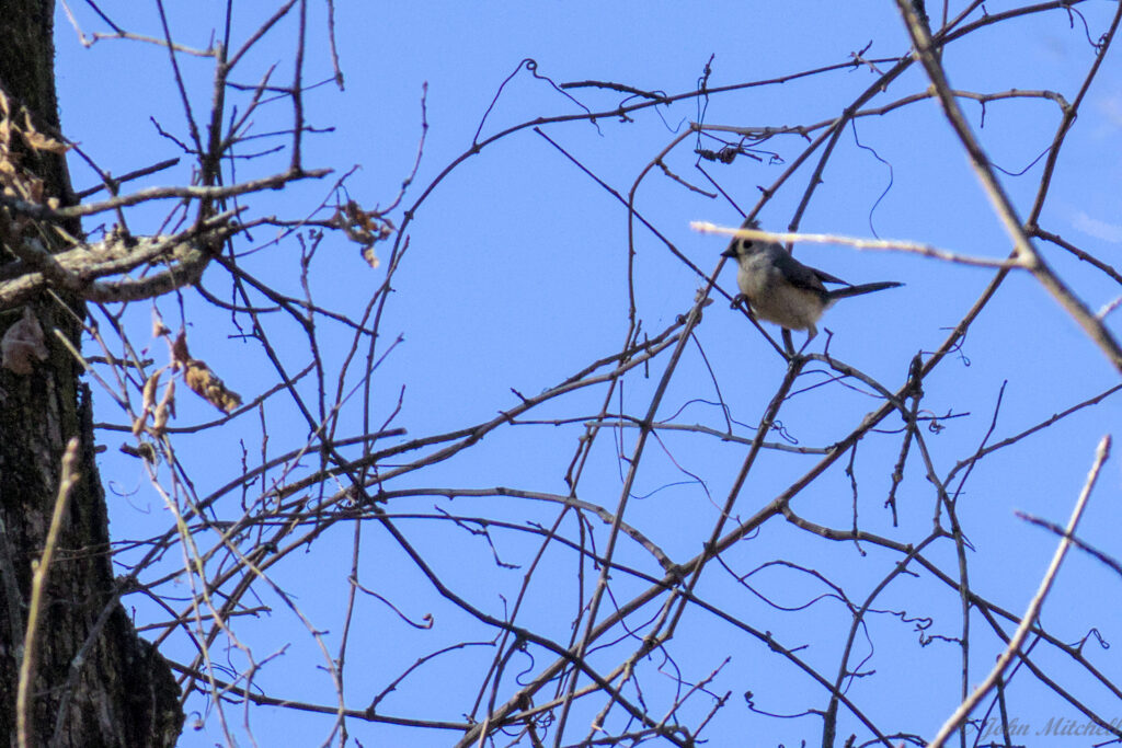
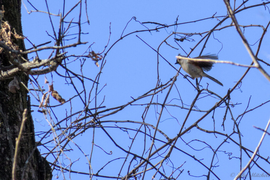
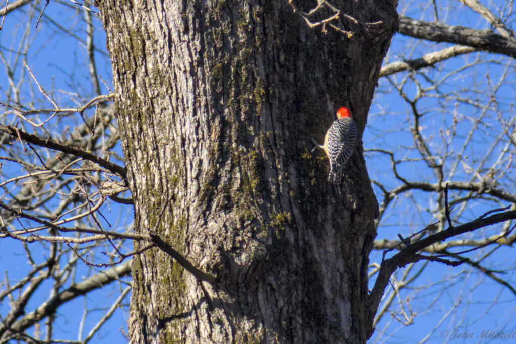
While walking through the forested section, we saw a Tufted Titmouse and a Red-bellied Woodpecker. Both of them were far away, for their size.
From there, you stop at Mound B and what might have been the edge of a game and hunting area. We did not photograph all of the mounds because you could barely tell there was a mound in most cases.
The trail from here around to Mound C was closed, so we had to walk the road to Mound C. Mound C has a cleft through it. It either had a road cut through it or worn through it, like the Oregon trail.
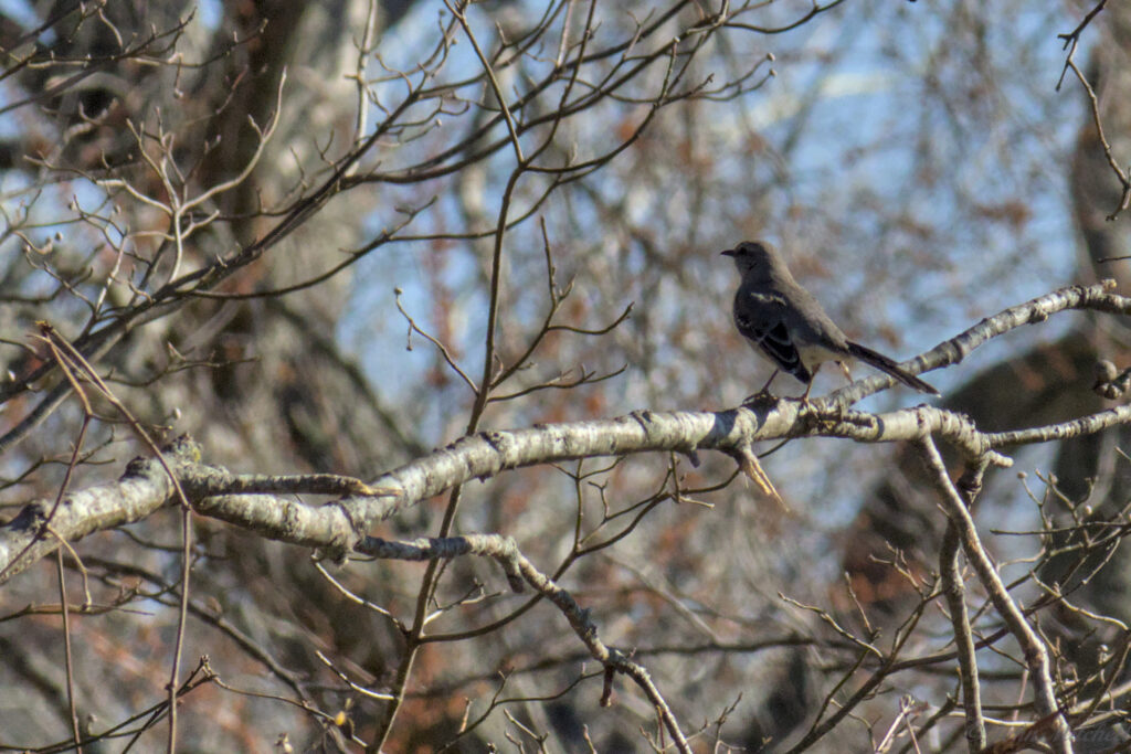
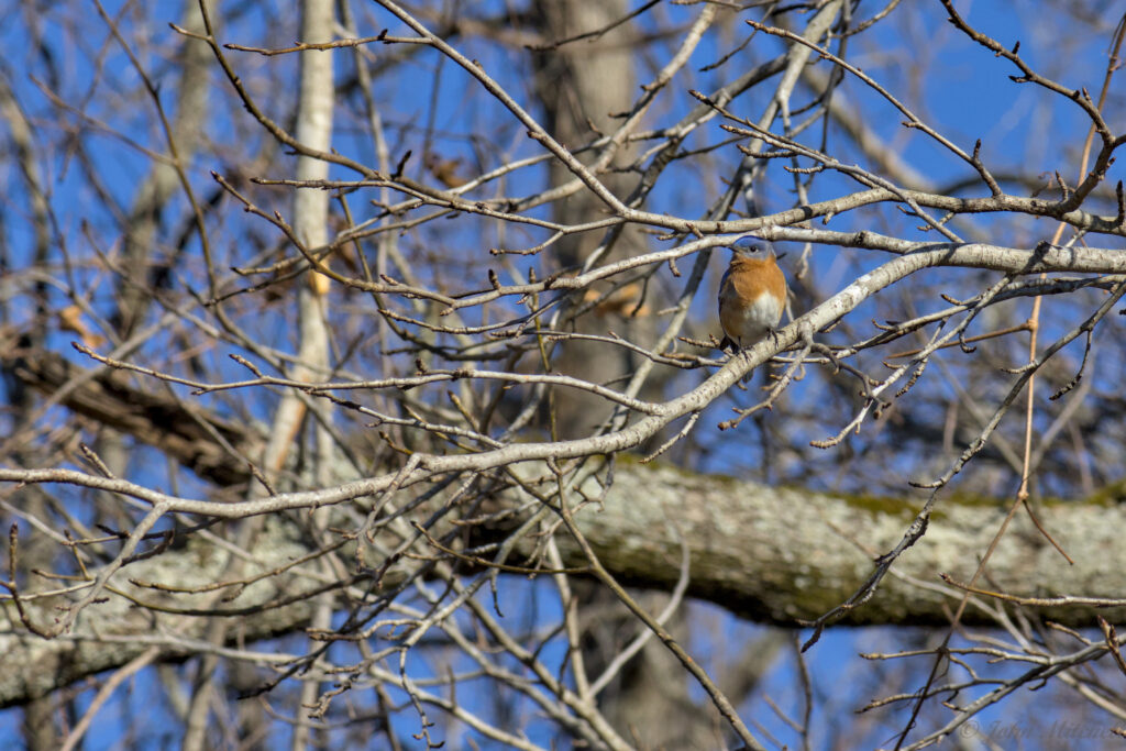
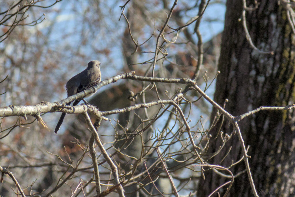
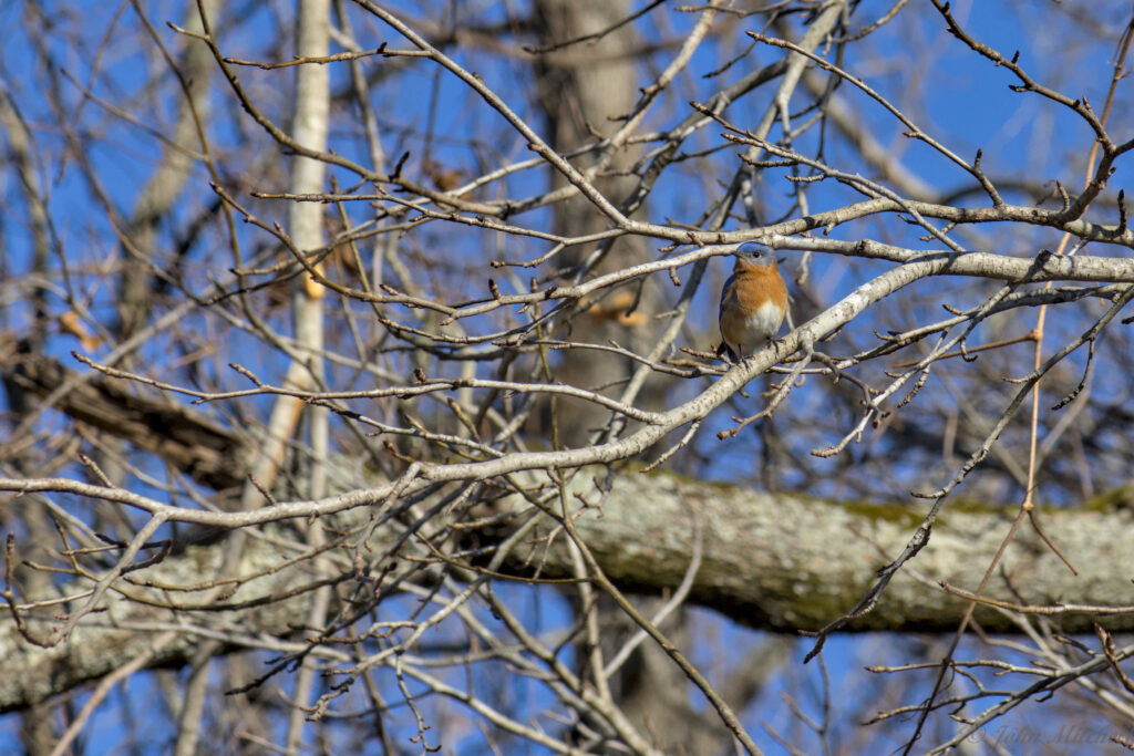
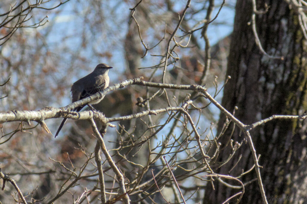
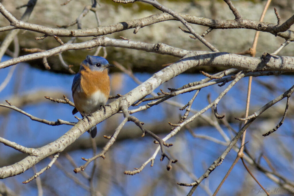
From here, it was a short walk back to the Visitor Center, but we saw an Eastern Bluebird and Northern Mockingbird in the trees beside the trail. You can tell the different bluebirds apart from their coloring.
- Eastern Bluebird – orange throat, orange chest, grey belly.
- Mountain Bluebird – blue throat, blue chest, grey belly
- Western Bluebird – blue throat, orange chest, grey belly