Poverty Point Reservoir State Park, LA, February 2026
For some reason, the 236 mile drive from Tyler State Park to Poverty Point took longer than normal. I could have been that we left later due to the extra time needed to safely move the trailer out of the Tayler SP site which was a pull through with hazards all around it. We had to back out of the site and carefully maneuver the truck to a good location to hitch up the trailer. It could have been the bad roads along the way.
For some reason the roads looked like they would be better than Indiana road but felt just as bad. I think part of it was the bridges tended to dip up and down creating the perfect bouncing wave for the truck. Fortunately, we were told in advance to take the bypass around Shreveport, LA. I20 through Shreveport was under construction and locals said that it was so narrow they didn’t like driving cars on the road. The bypass helped from a construction standpoint but was extremely unlevel and bumpty.
I’m going to sound like a tape recorder on repeat but the 3 miles from the I20 exit to the park were as bad if not worse than the interstate. Ok enough about the wonderful roads in Louisiana. 🙂
The park had a really nice, gated entrance area. Many parks are wide open with no security or gates.
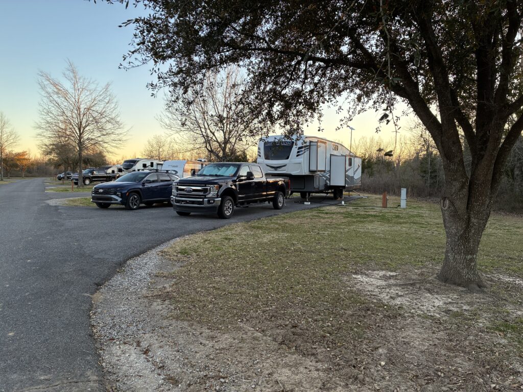
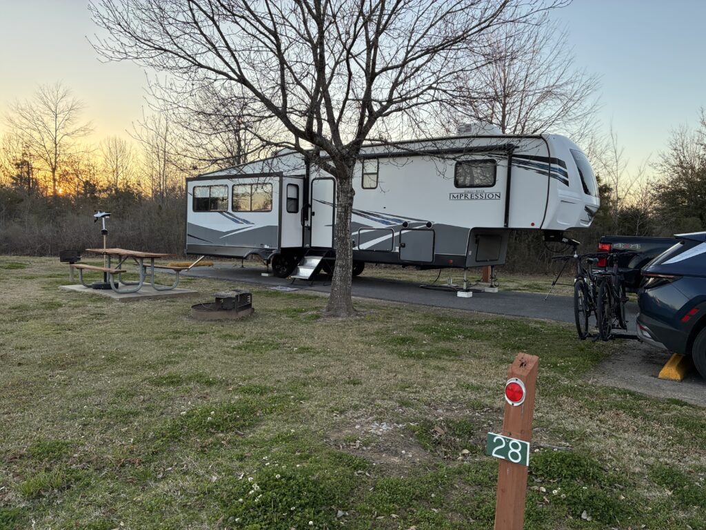
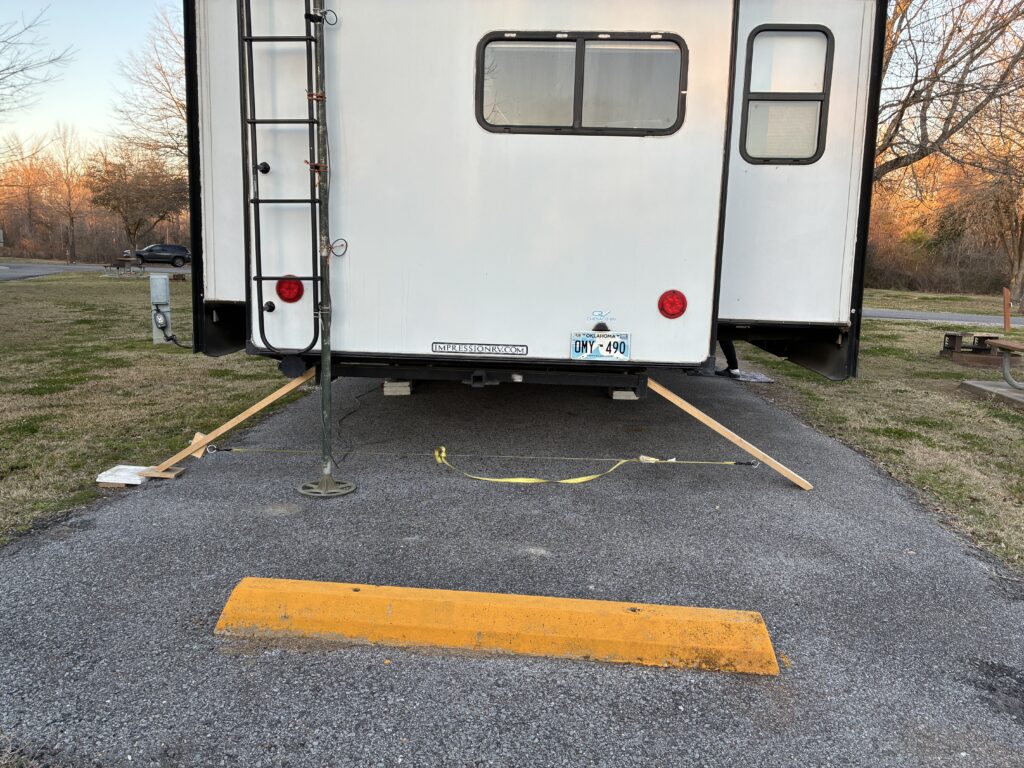
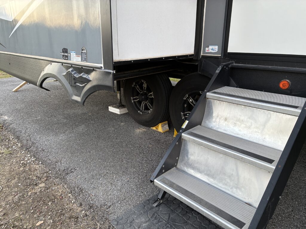
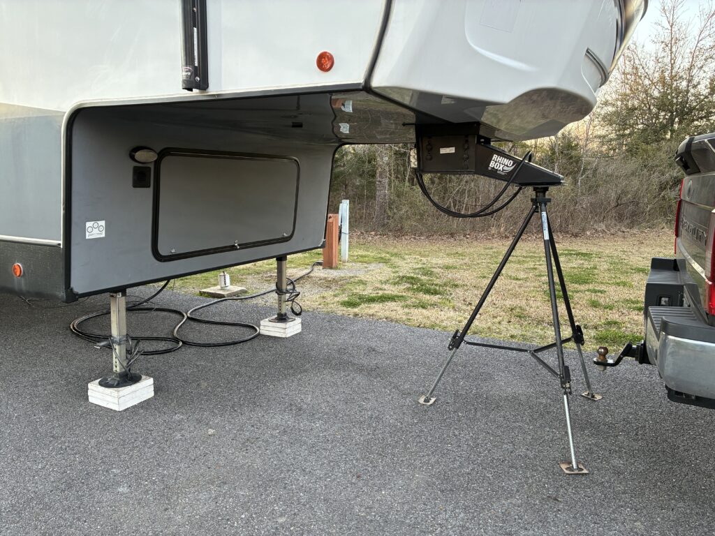
John chose site 28 which had everything we needed including full hookups, extremely long pad and extra parking space.
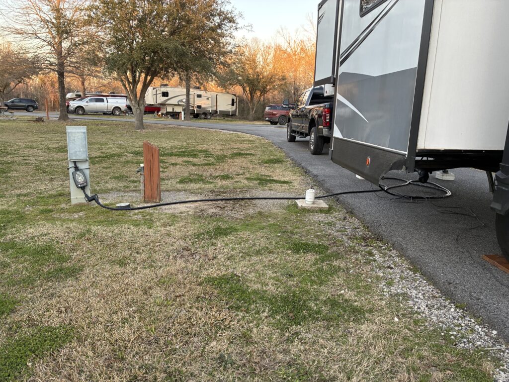
The site downside was that the sewer hookup was located at the middle of the site. If we backed all the way up our sewer hose was not long enough to connect. We decided to park more in the middle of the site. We still had plenty of room for the truck and car.
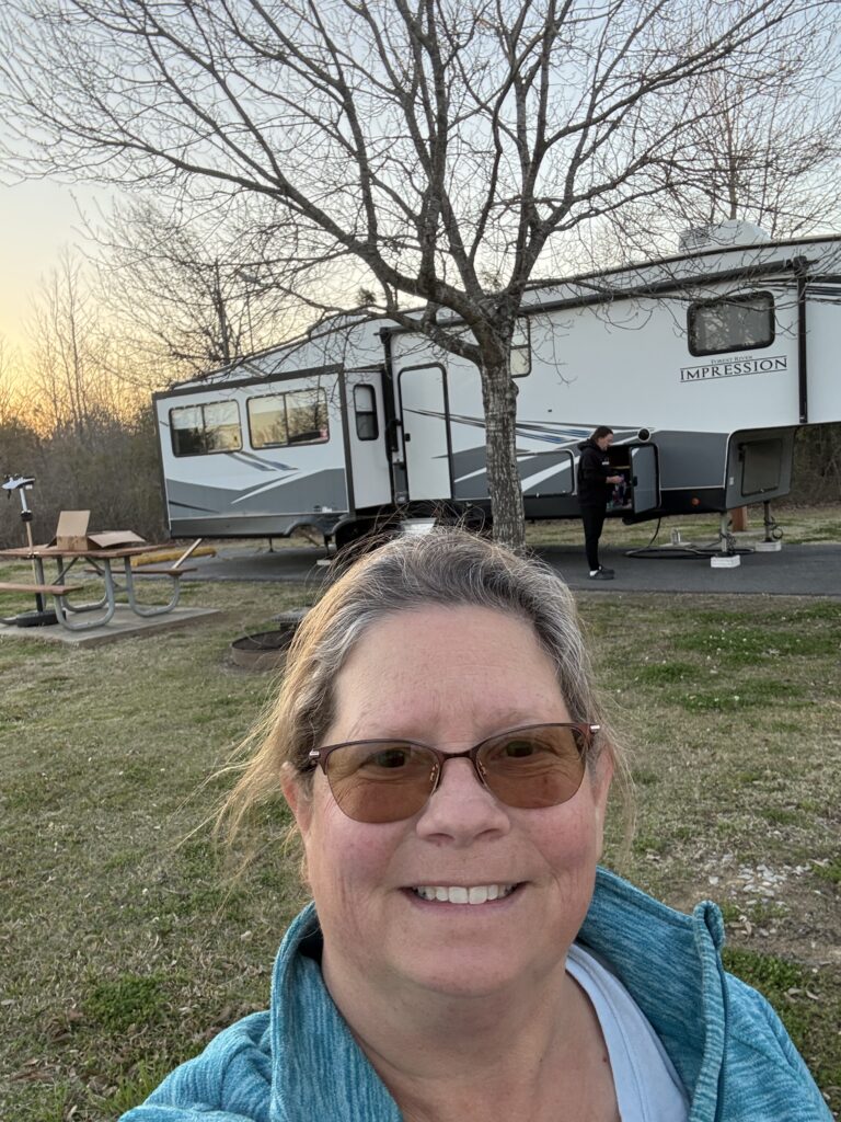
Sunset pictures.
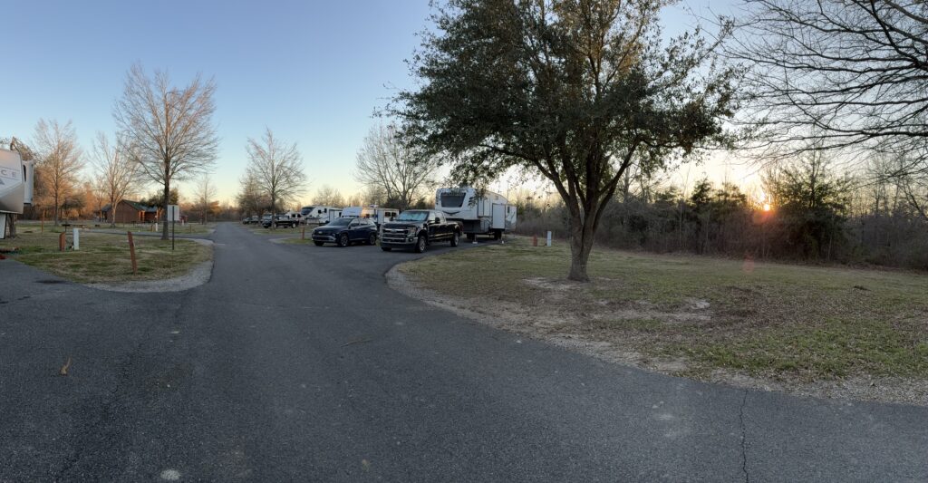
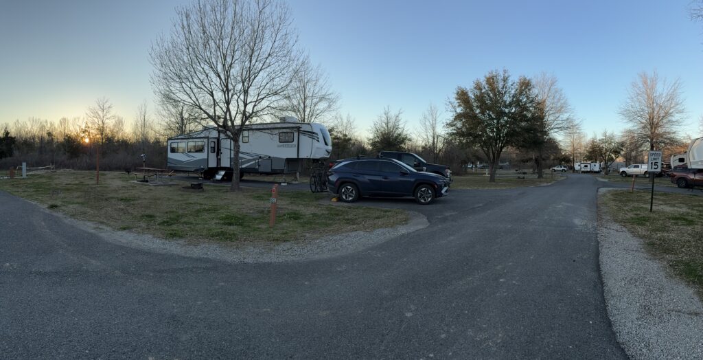
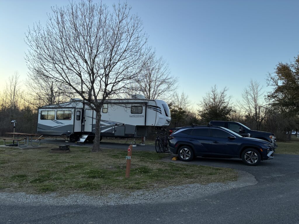
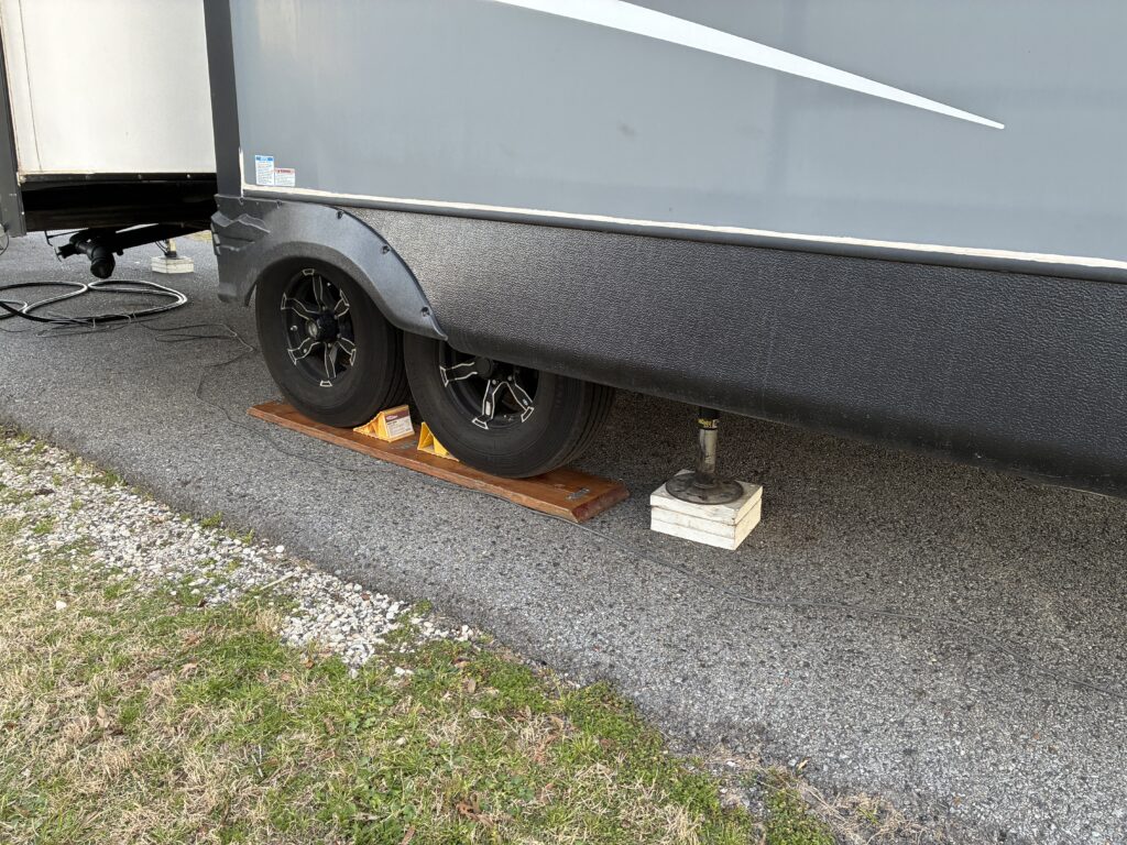
Site setup
Driving Directions @236 miles
- Right out of campground loop
- Right onto State Park Hwy
- Left onto I20 East
- Exit 11 in LA right 2 lanes exit onto I220 East. Stay in left lane of the 2 exit lanes. @88 miles
- Left lane to take exit 17B onto I20East towards Monroe, LA. @106 miles
- Exit 153 take left onto Hwy 17 (aka Broadway St) @233 miles
- Right onto Poverty Point Parkway @236 miles.
Rest & Truck Stops
- 3.8 miles Pilot at I20E turn has Subway and McDonalds
- 9.1 miles exit 56 Exxon
- 12.4 miles Exit 571A Shell
- 14.7 miles Rest Area not sure if it has restrooms
- 16.8 Exit 575 Loves (Subway)
- 28.3 Exit 583 TA Travel Center (Wendy’s)
- 58.3 miles Exit 617 Quik Trip
- 80 miles Rest Area
- 81 miles Exit 3 Loves (Arby’s) and Flying J
- 85.7 miles Exit 8 Petro
- 105 miles Exit 17A on I220 has I220 Travel Plaza
- 113 miles Exit 33 Pilot (Arby’s) located on I20
- 130 miles Exit 49 Loves (Arby’s). This has 2 round abouts to get to Loves.
- 132 miles Exit 52 TA
- 161 miles Exit 81 TA Express
- 172 miles Rest Area
- 201 miles Exit 124 Loves (Subway)
- 215 miles Exit 138 Pilot
Site & Campground Details
- To back in John had to go in site across from us. This could be a challenge if truck was parked in site.
- Most sites are full hookup.
- Park had ice storm late January. So many of the trees were fallen and walking paths weren’t fully cleared.
- Has really nice laundry room with 2 washers, 2 dryers, table and large sink. Cost $1.75 for wash and $1.75 for 60 minutes of dry time.
- All sites had concrete pads.
- Starlink download >90, download 7 upload, latency 27 ms. 16-foot pole
- Cricket 5G service 4 bars. >400 download, 48 Upload, latency 28 ms.
- Cricket LTE service 4 bars. >180 download, 45 upload, latency 25 ms.
- Tmobile Hotspot service 4 bars. 26 download, 3 upload, latency 77 ms.