Dauphin Island, AL, March 2026
Along with the Mississippi and Florida Gulf Shores, we planned to visit Dauphin Island one day during this stay in Alabama. John thought we were going to Dolphin Island, so he was disappointed that the only Dolphins were decorations. He thinks that the dolphin decorations were added to appease disgruntled tourists.
We got up at 7:00 am, and we left at 8:30 am. The fastest route takes you to from highway 158, to I-65, to I-10, to the roads down the eastern shore of Mobile Bay. You have to drive across a three mile long causeway to get to the island. There was construction on the causeway, so it was only one lane for about a quarter of a mile. Fortunately, the wait was not long. The total drive from the campground is about 1.5 hours, so we arrived at Dauphin Island at about 10 am.
Our initial impression is that it is similar to Chincoteague Island in Virginia or the Keys in Florida. This is true in two aspects. First, there is a touristy feel with one-off businesses instead of chains. Second, you get the impression that a category 5 Hurricane might make the whole island cease to exist.
Our primary reason for going to the island was to see the Audubon Bird Sanctuary, but we were debating riding the ferry, visiting the aquarium, and visiting Fort Gaines. All of the other three required tickets, so we ended up not going to those places. We might go to a different fort, Fort Morgan, that is more complete.
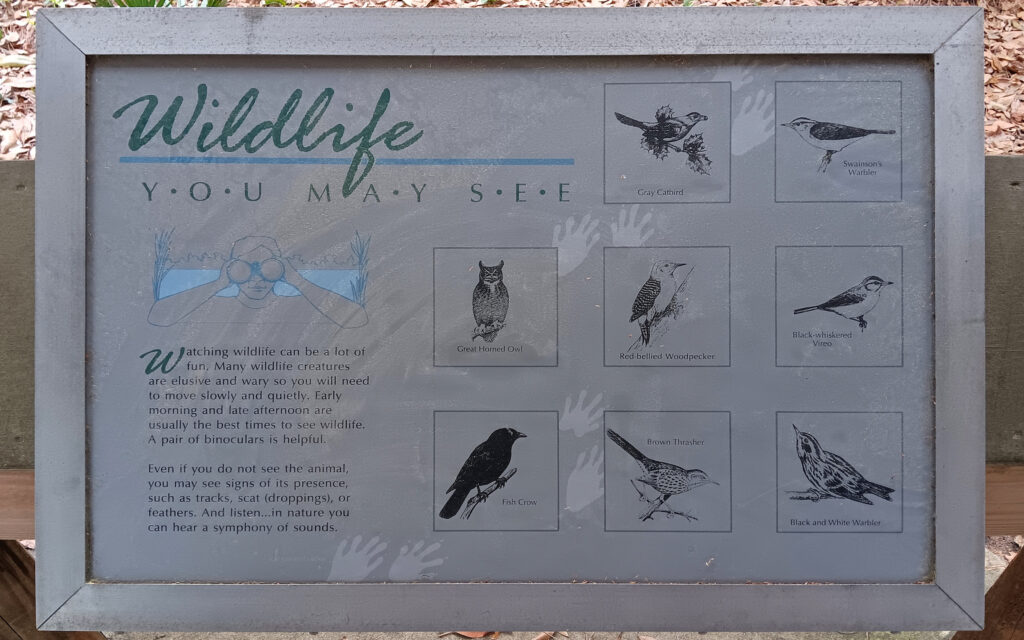
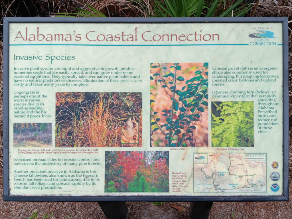
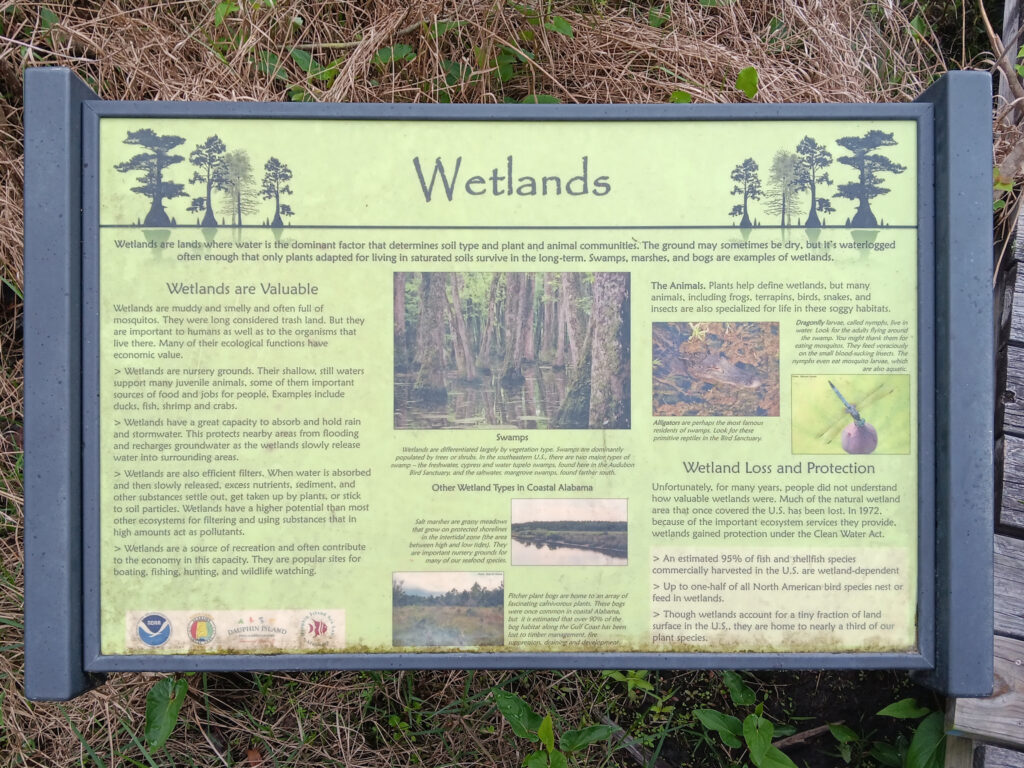
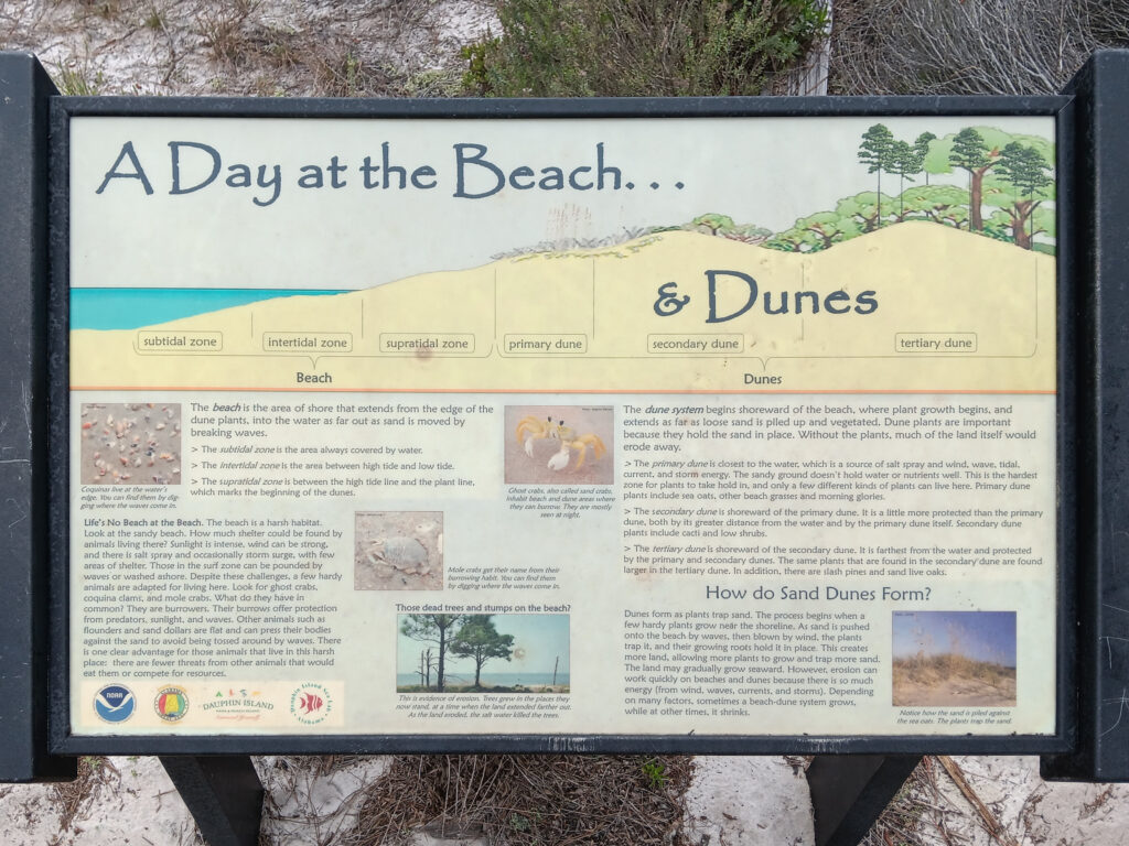
The driveway loop for the sanctuary was gravel with very limited parking. You immediately see a lot of signs, starting with these educational ones.

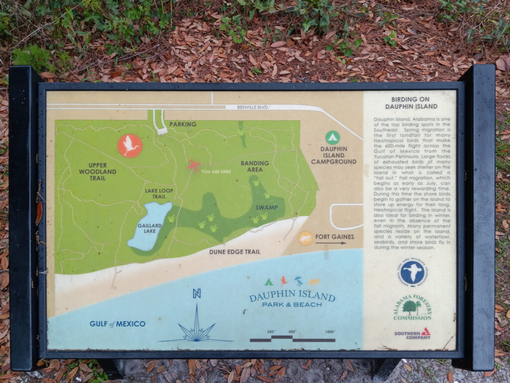
At the trail head was a map with useful information, such as “Do not feed yourself to the alligators”. Okay, it might not have been EXACTLY worded that way, but it was implied.

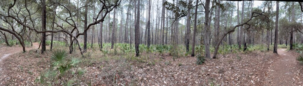
We planned to go to the swamp platform first. From the parking lot at the bottom on the map, we followed the left green path to the first red path. We ran across a proscribed burn area in the forest on this trail.
And, we ended up at a (capital) T intersection with no idea where we were. We ran across a few more educational signs. We read them to ease our terror at being lost in a small bird sanctuary with dozens of other people walking around.

And, we found out why we were confused, when we ran across this sign.
That first sign is LYING; it is a trap. The trails looks nothing like that first map, but they seemed pretty close to the map above. I can only assume that they had a lesser primate (i.e., baboon, bonobo, or child) create an interpretive artistic rendition of the actual map.
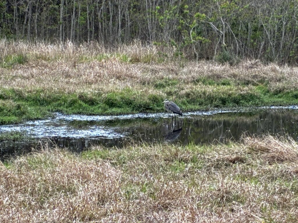
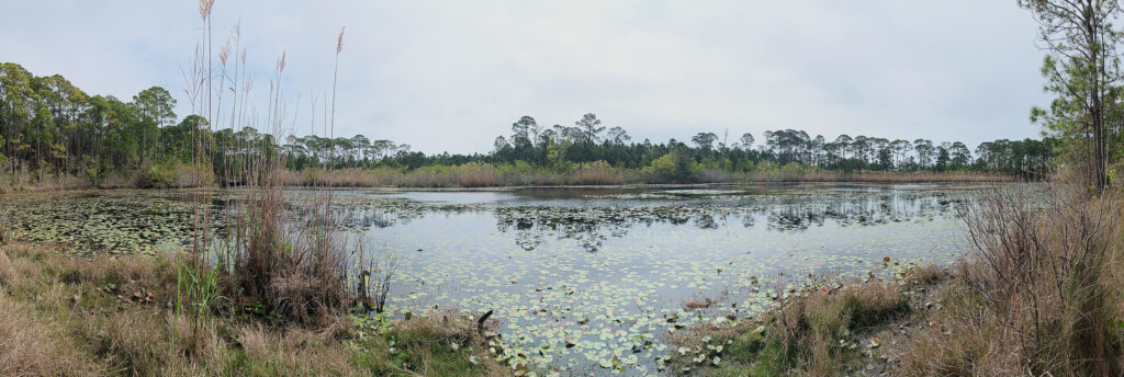
We made it to the swamp viewing deck, and there was a Great Blue Heron wading around in the swamp pond. Despite the weather prediction stating otherwise, it started to sprinkle on the drive down, so we only had cell-phone cameras.
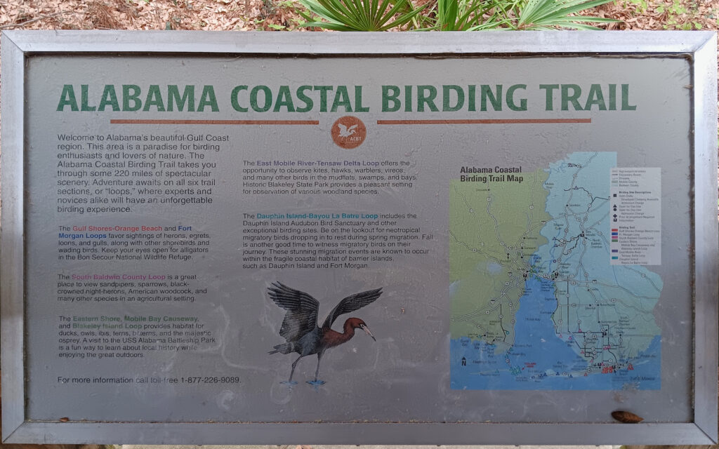
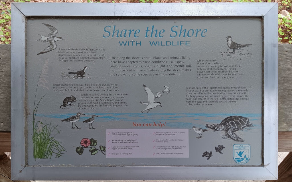
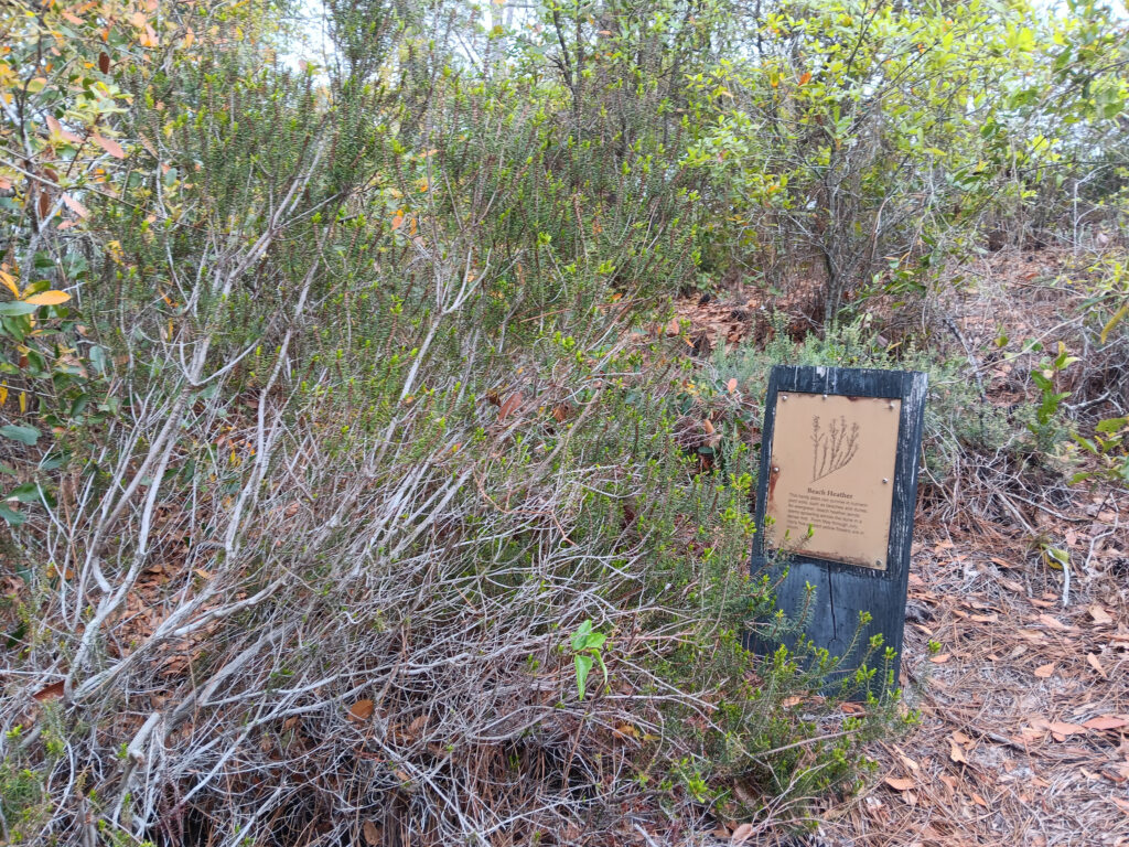
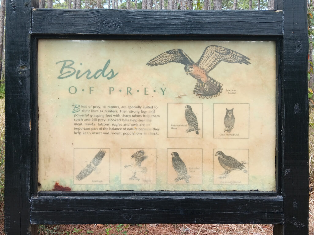
We ran across a few more signs.
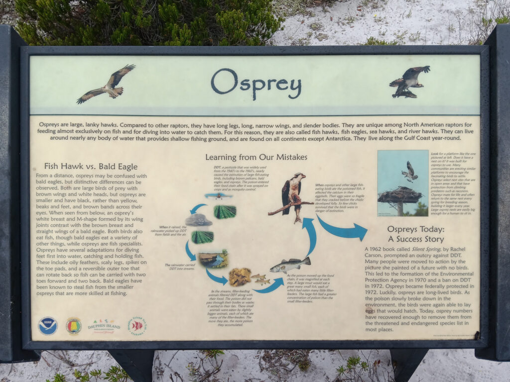
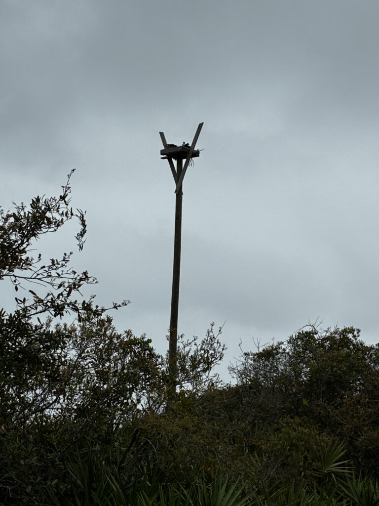
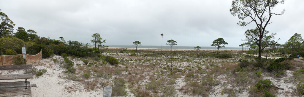
And, there were indeed Osprey. One man-made nesting pole was at this end of the dunes, and there was an Osprey in it.
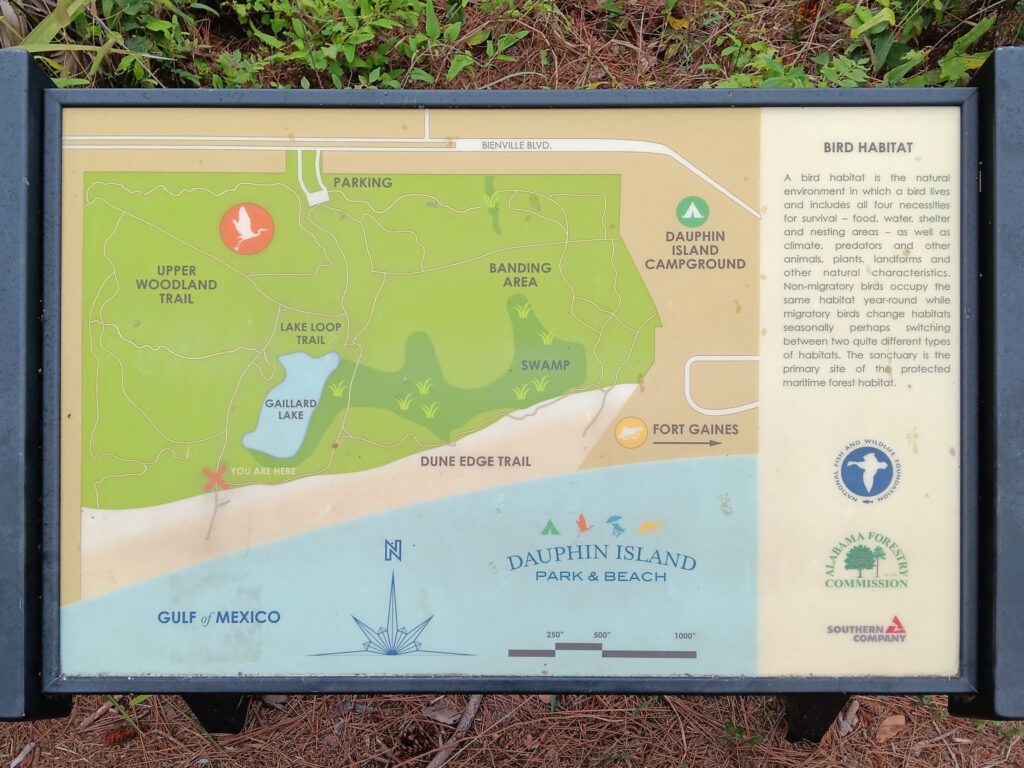
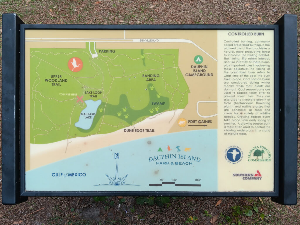
And another map with our location.
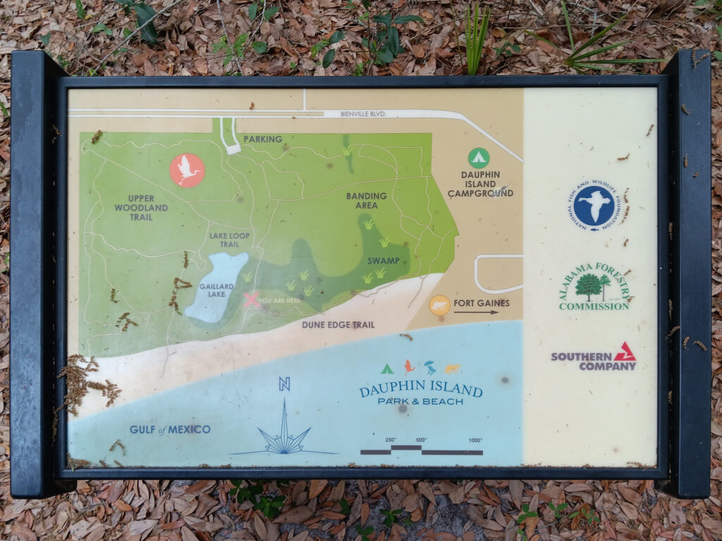
Except, that is not where we were. We even used location services with Apple maps to verify that it was wrong. We were actually at the far right where the spur passes out of the sanctuary and into the beach. Clearly, they need the interns installing the maps because they know how to use location services. Once we knew where we were again, we followed the dune trail along the beach side of the sanctuary.
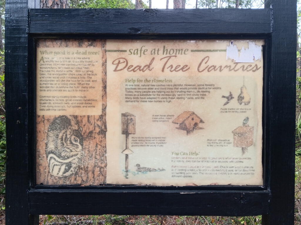
We learned about the impact of removing dead trees and the cavities that offer nesting. Also, Dead Tree Cavities would be a great name for a band … or a combination Orthodontist and Arborist business. Fortunately, the next map was accurate.
We went out to the beach to see the other Osprey nest, dunes, and beach. On the way up the dunes, we found out what John’s sister looks like on the beach! (You have to read the sign to get the joke.)
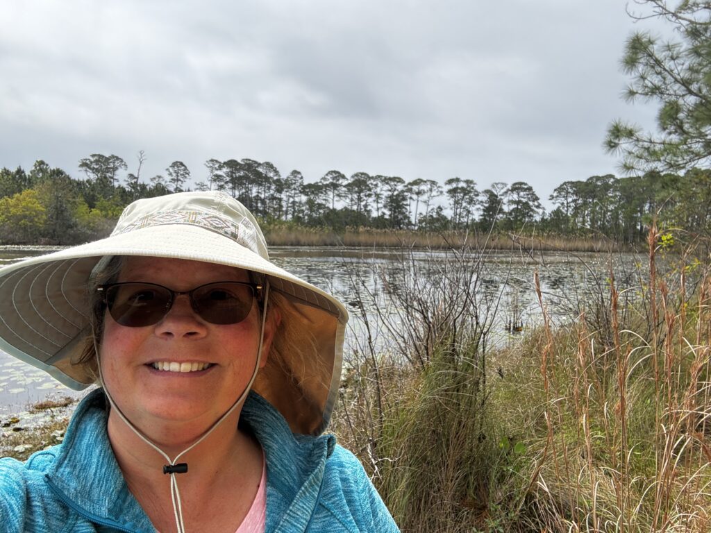
The wind was very strong on the beach; John’s weather app suggested 15-25 mph. Below, you can see a 180 degree (i.e., half circle) view of the dunes from a viewing platform at the top of a dune, along with the Osprey nest.
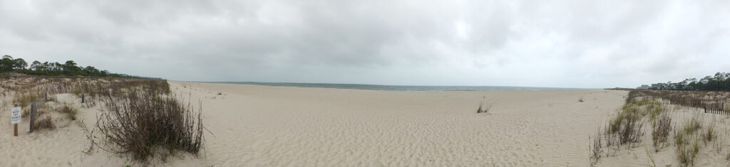
Above, you can see a 270 degree (three quarter circle) view of the beach trail at the edge of the beach. (Note: The panorama compresses the view. The lines of plants are actually straight out to the right and left.) After walking the beach, we headed back around the west side of the lake towards the parking lot.
We took the side loop by the lake, but it was flooded.
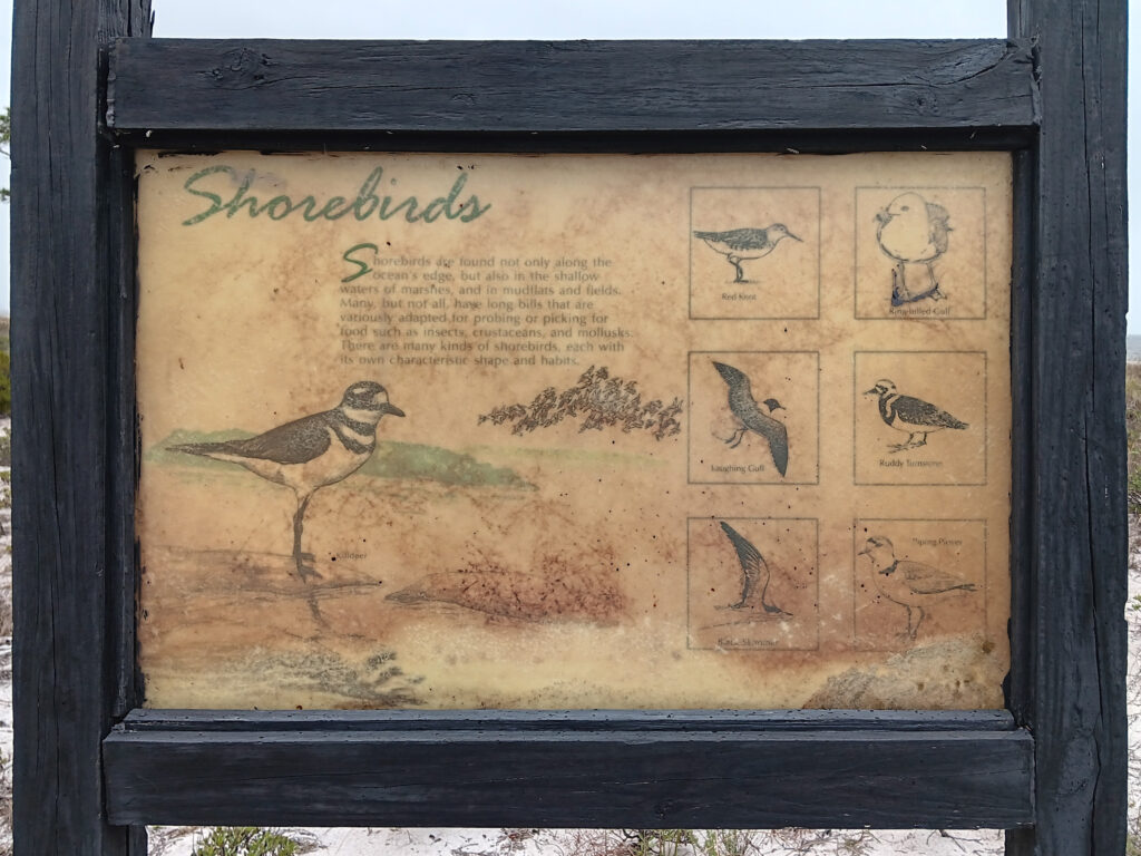
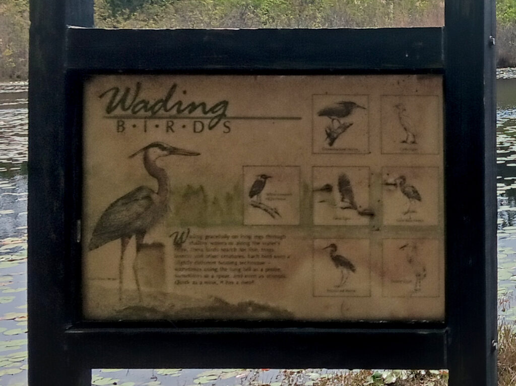
We could not get close enough to the sign to get a readable picture, but it looks like a list of wading birds.
The last accurate map sign showed correctly where we were.
And the last inaccurate map sign was right near the trailhead to confuse unwary hikers.
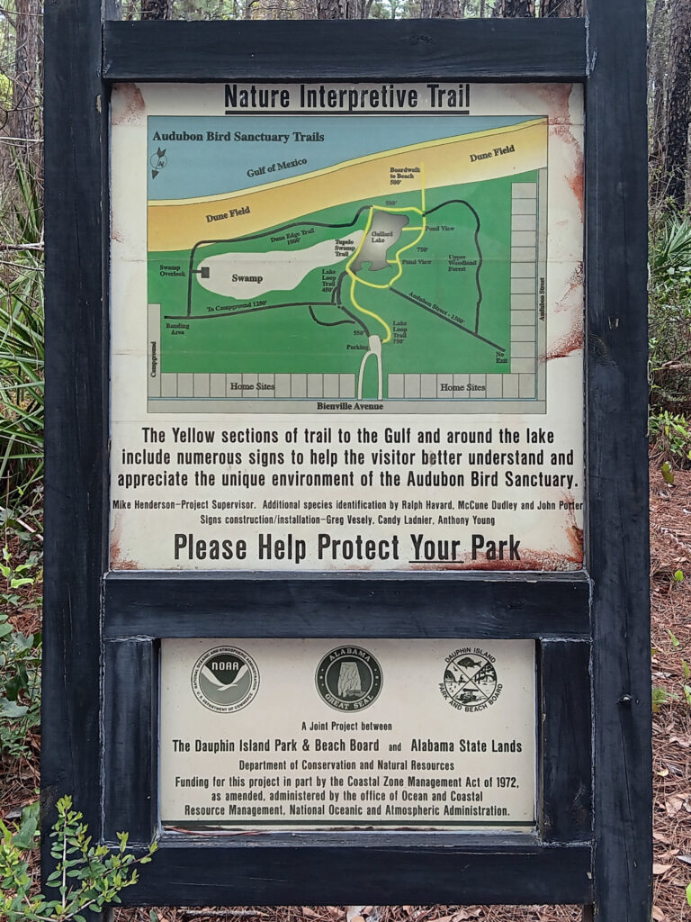
Please Help Protect Your Park? Does this mean we should rescue lost hikers before they starve? The Dauphin Island Audubon Bird Sanctuary – A joint project between The Dauphin Island Park & Beach Board, Alabama State Lands, and The Society of People Who Cannot Make Accurate Maps.
It was disappointing that it sprinkled for all of the hike, but at least the bird sanctuary did not have many birds to photograph. Well, that was a bit disappointing too. It might just be the wrong time of year to see migrating birds.