Cedar Bluff State Park, KS, April 2025
Cedar Bluff State Park, KS is located on the prairie. The one learning is that it is rare not to have a windy day. I was looking forward to cooking hot dogs (the big ones from Sams Club) over the campfire. Unfortunately, we only had 1 day that was less windy (still windy just not as bad) that enabled a small campfire.
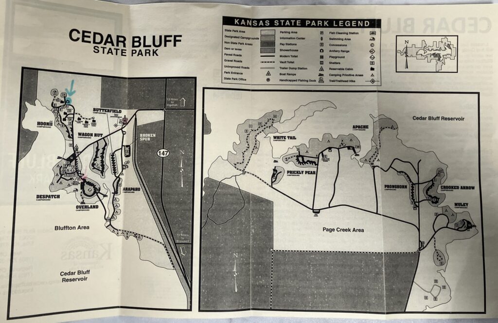
The campground has two main areas for camping north side (Bluffton Area) and south side (Page Creek Area) of the reservoir. We stayed in the north side, which was an easier drive, and all the roads were paved. The south side requires driving over the reservoir dam which was narrow and driving about 7 miles on a gravel road.
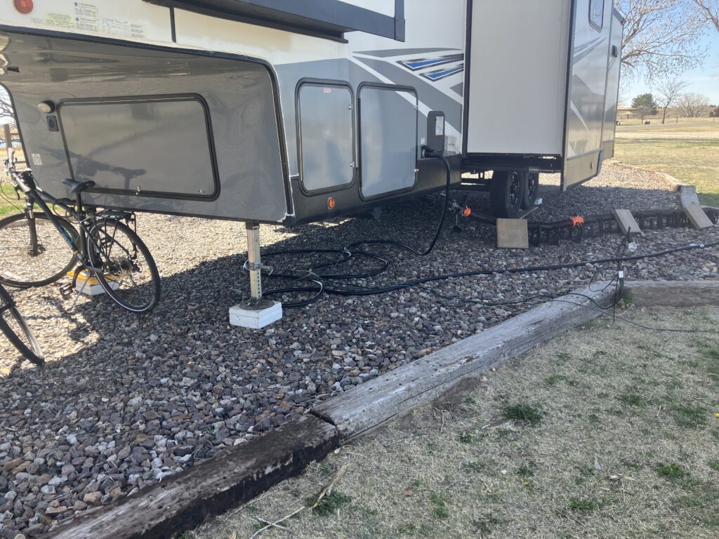
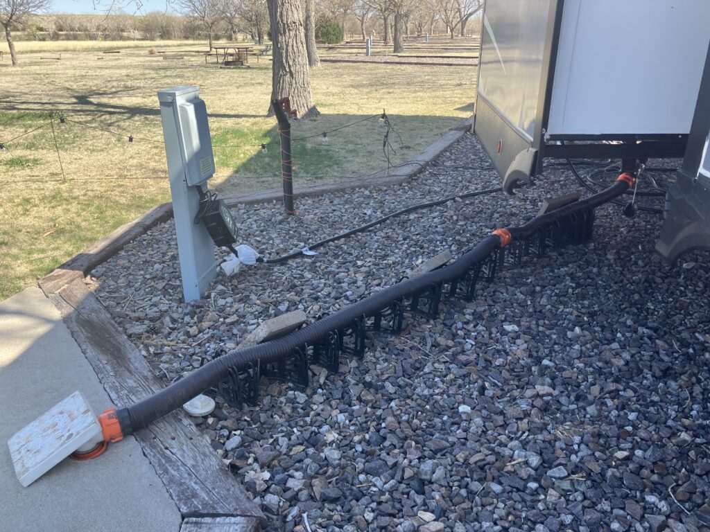
The campground has quite a few full hookup sites. The really bad part is that most sites are full due to the parks approach of renting sites to long term campers. If I remember correctly the park rents out @30 full time sites. The park only has @30 full hookup sites. We were very fortunately; the campground manager called a full-time person to see if they would arrive a day late. This would enable us to get a full hookup 50 amp site for 2 weeks. The person agreed and we were able to stay in site 201 for 2 weeks.
What I enjoyed was watching the land slowly transition from winter to spring. The grass started turning green, leaf buds forming, and small prairie flowers started to bloom. It’s still early spring but the change was fun to watch.
The weather was all over the place. We had one day of 90 degrees and the next day with a high of 60. We ended up winterizing the trailer for the first weekend. The temperature dropped down to 20 F with high wind for 2 nights. Normally, we can keep the underbelly of our trailer 10 – 14 degrees higher than the outside temperature. With the high winds, the temperature underbelly was close to outside temperature. To be safe versus and not worry about our pipes freezing, we decided to winterize the trailer.
The campground had 2 hiking trails. Butterfield located on the north side and Agave Ridge located on the south side. We are working on creating posts about the trails.
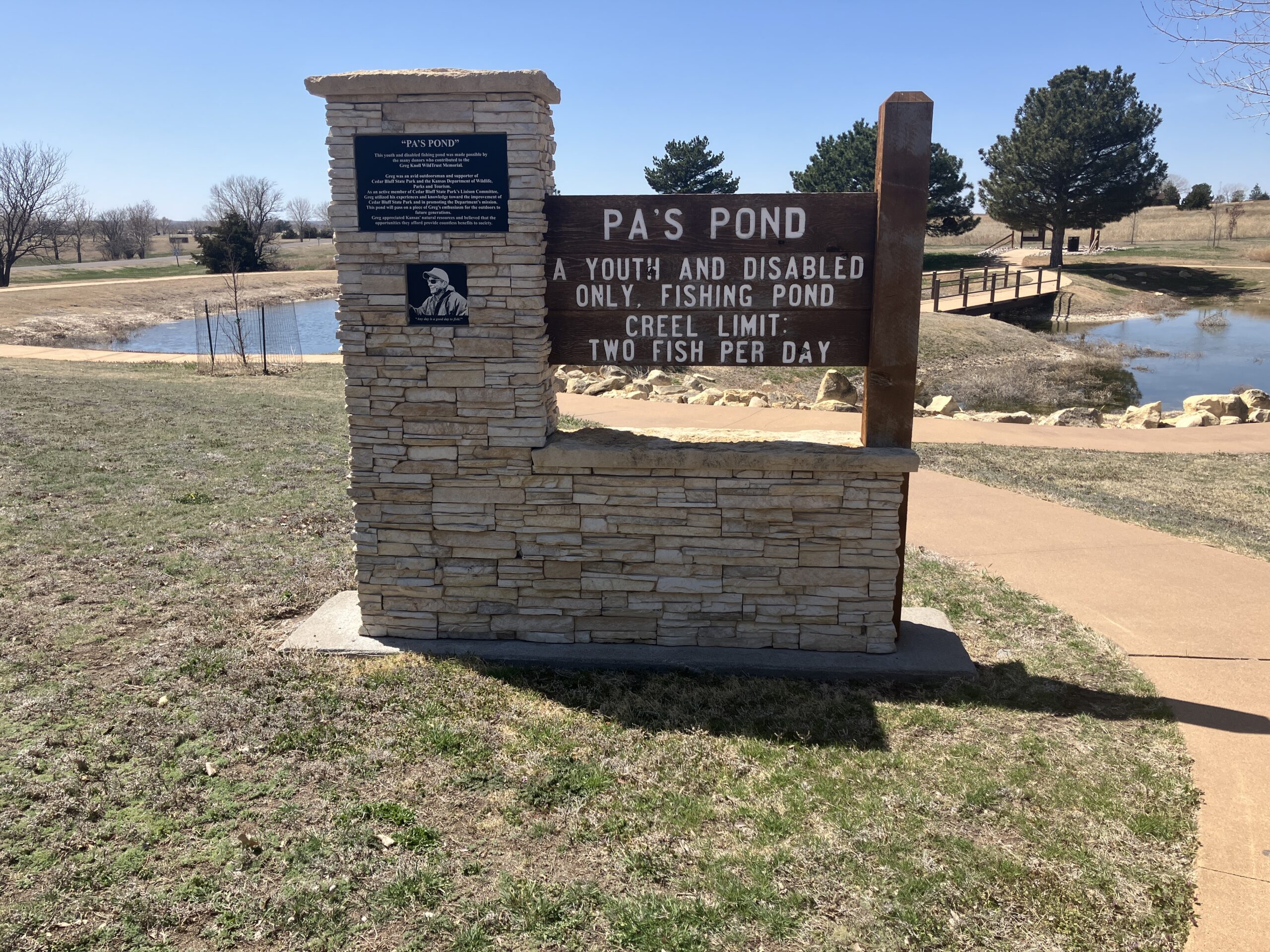
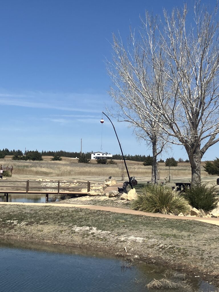
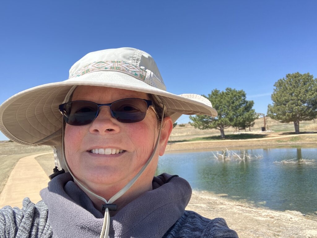
Another unique feature is the small kids / handicap fishing pond located right next to the park office. This pond is stocked and easy access for fishing. I liked the idea of having a pond where young kids could catch fish.
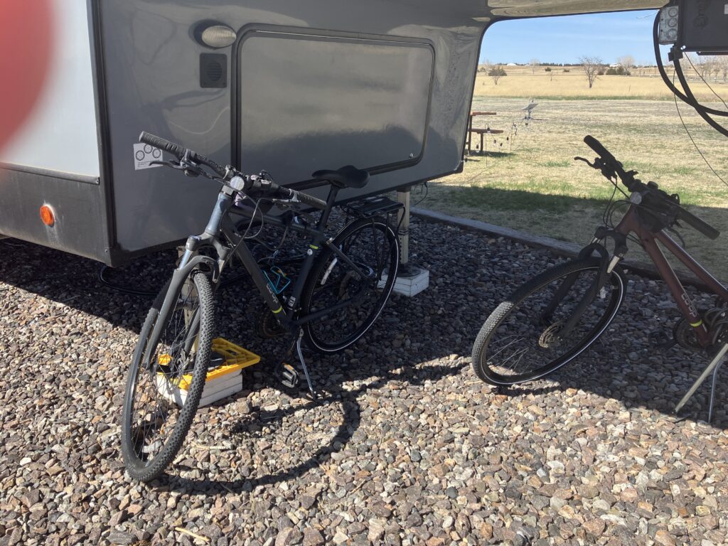
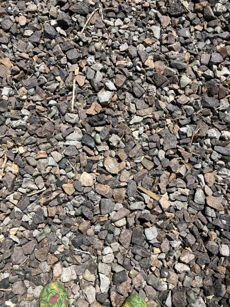
For some reason we had a major issue with the bike tire tubes on John’s bike getting small holes. First the front and then the rear. My bike did not have an issue. Our campsite had a large, jagged rocks. John rode his bike over the rocks and had issues. I did not ride my bike over the rocks and did not have issues. I am speculating that the rocks might be causing pinch points that is damaging the tube. Can you find the quarter and the tip of my shoes in the photo?
Driving Directions (131 miles)
- Right onto I70 West
- Exit 135 (118 miles) left onto Smoky Valley Scenic Byway Hwy 147
- Right into park and south campground. Located across from Roosters Sports Haven
Rest Areas
- 60 miles Exit 193 Shell
- 65.9 miles Parking Area
- 68 miles Exit 184 – 24/7 Travel store has a McDonalds
- 107 miles Exit 145 Loves
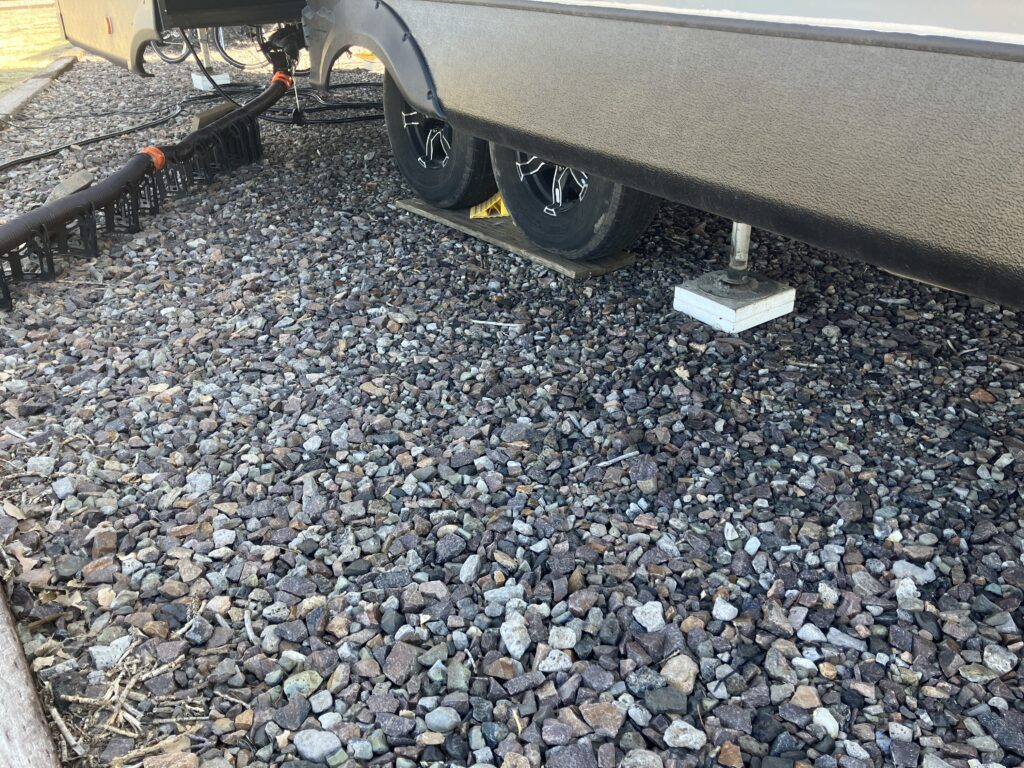
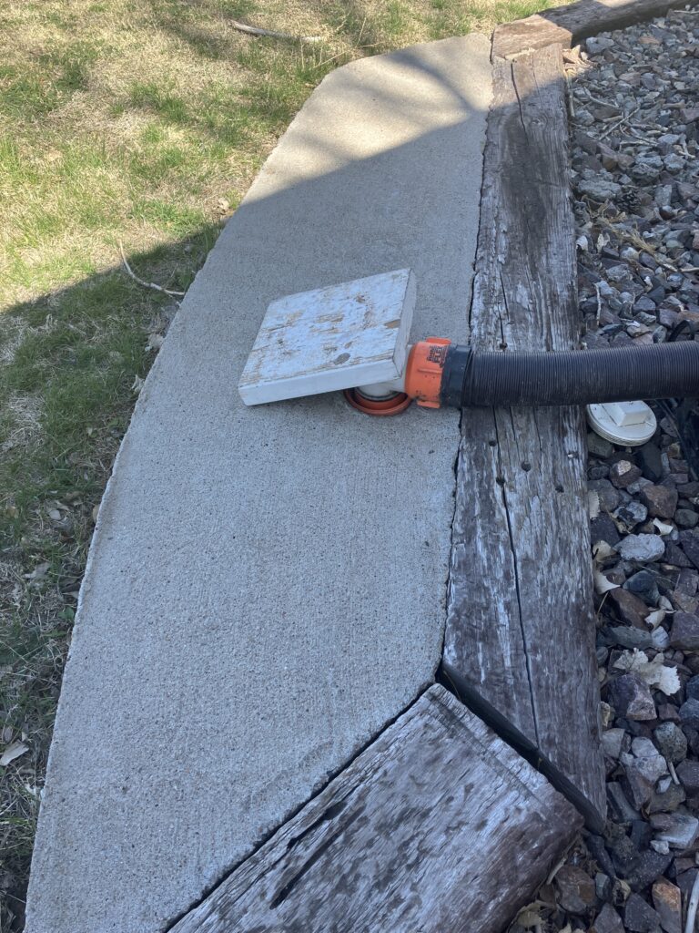
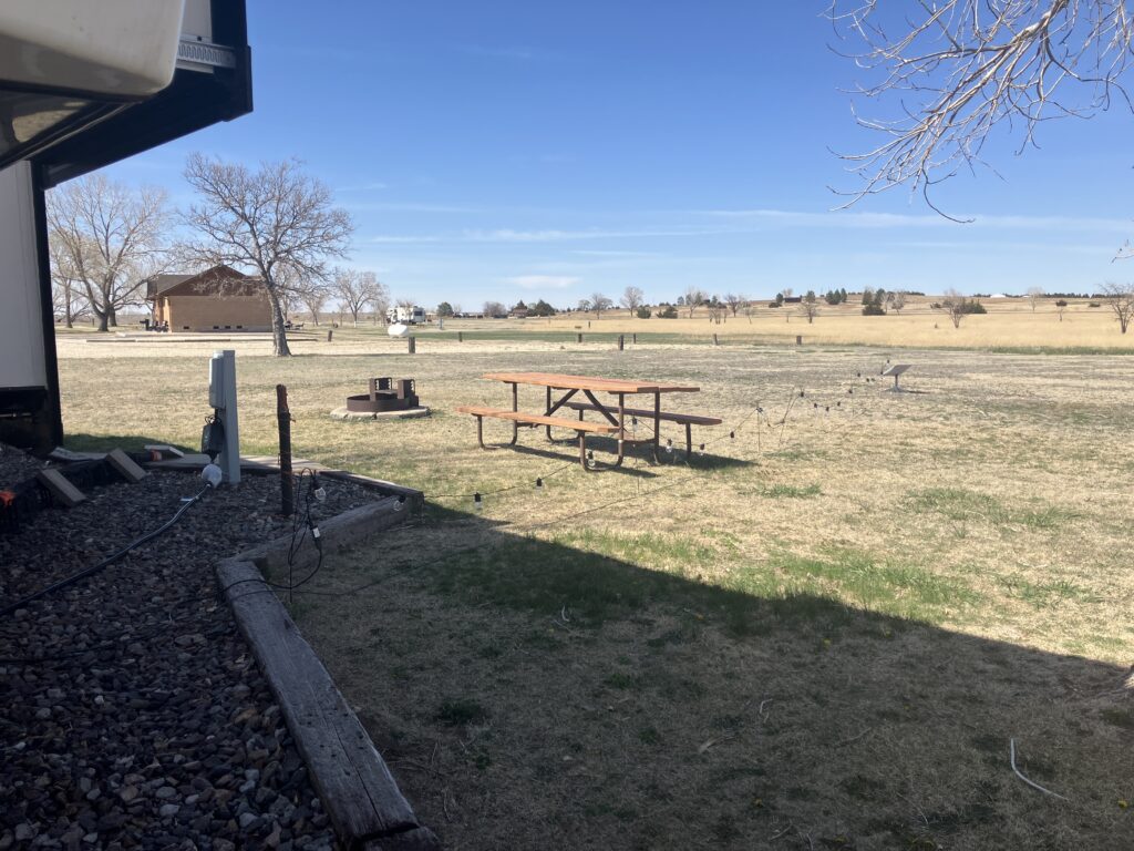
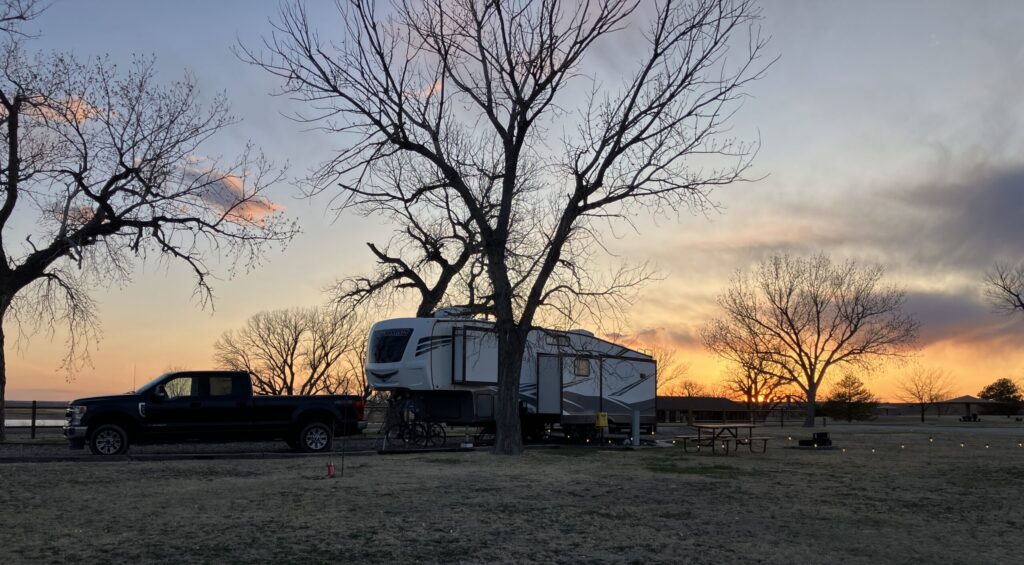
Setup and Campsite Photos – Overland site 201 full hook-ups pull through