Yellowstone National Park, WY, May 2025
Task #1 – Lewis Channel Hike (Failure)
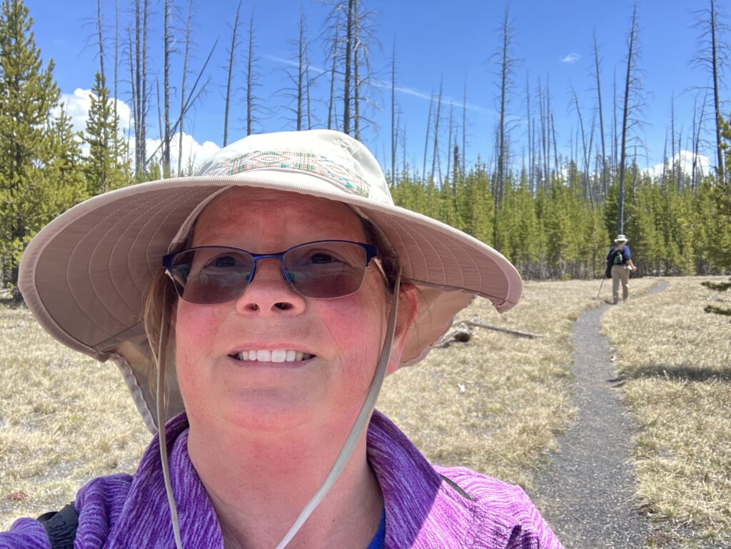
The Lewis Channel Hike runs beside Lewis Lake. The first 2 1/2 miles was open for hiking but had a warning for snow covered trail. We weren’t worried about the snow and have hiked on snow before. The second half of the trail was closed due to nesting loons (and we don’t mean tourists).
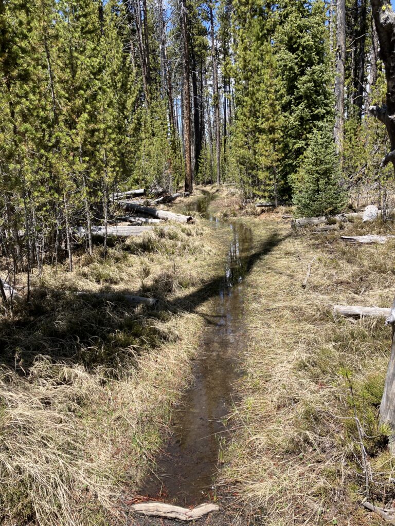
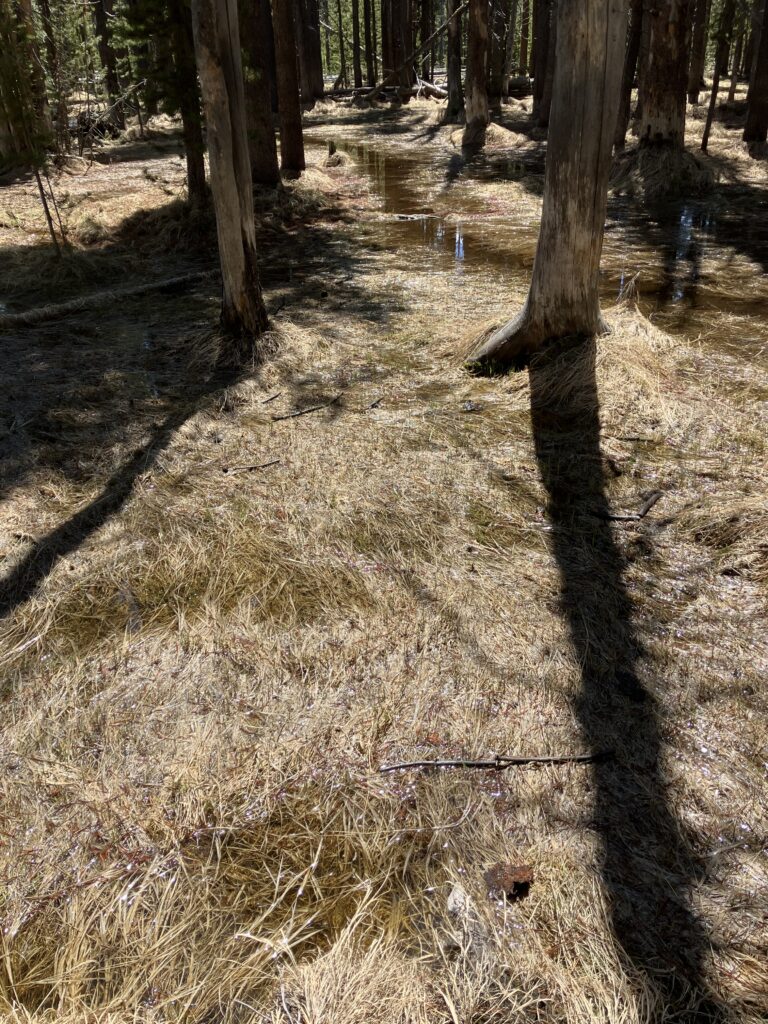
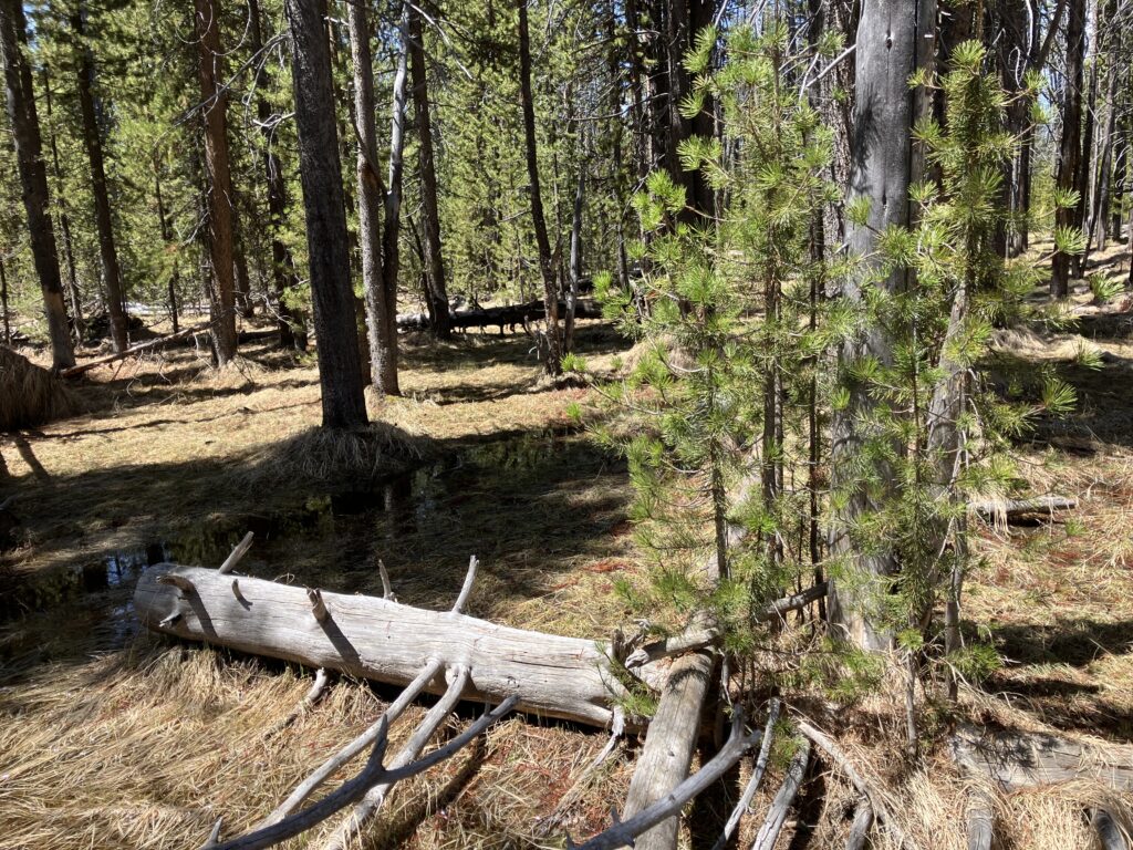
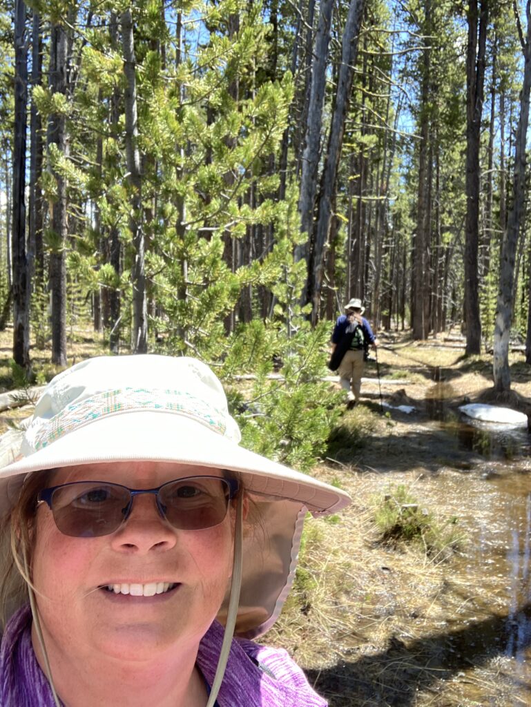
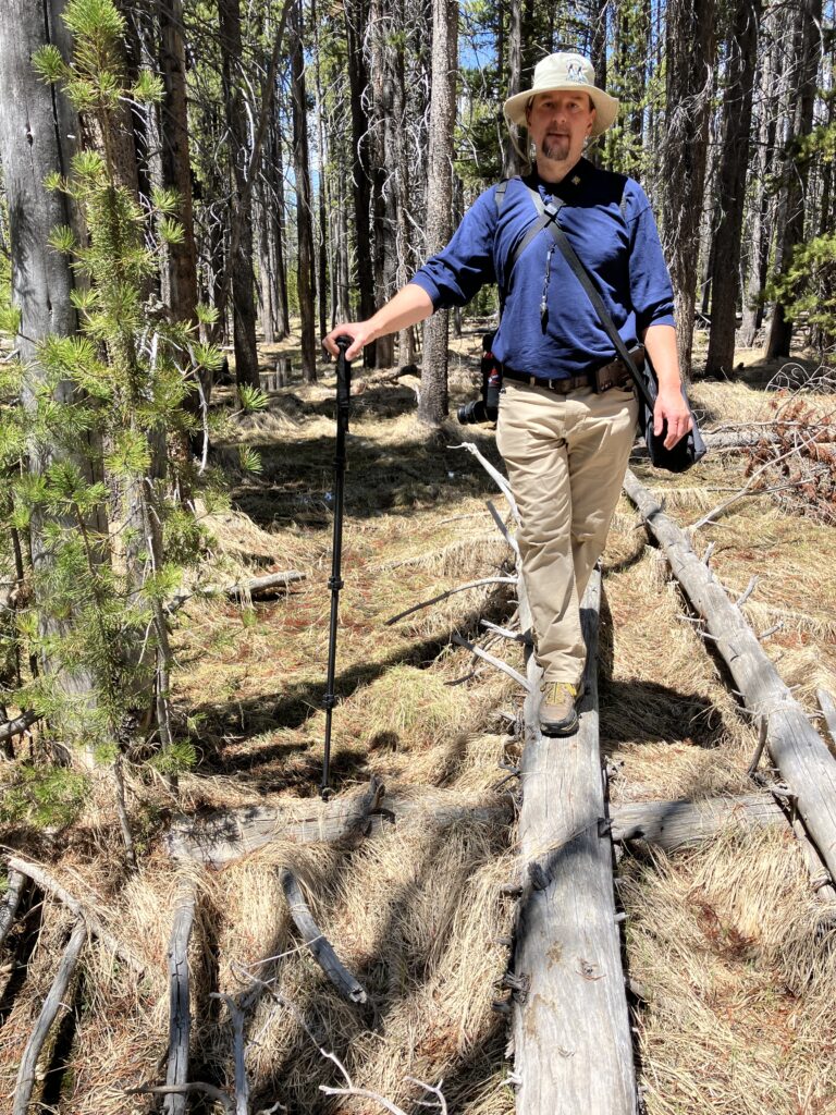
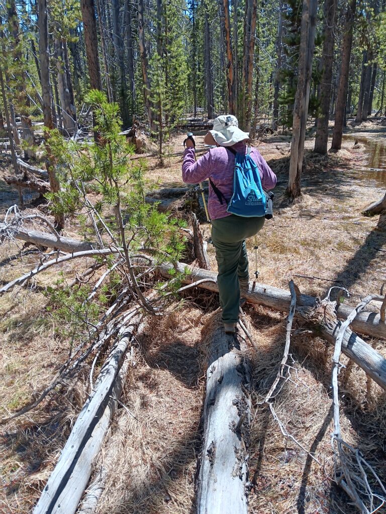
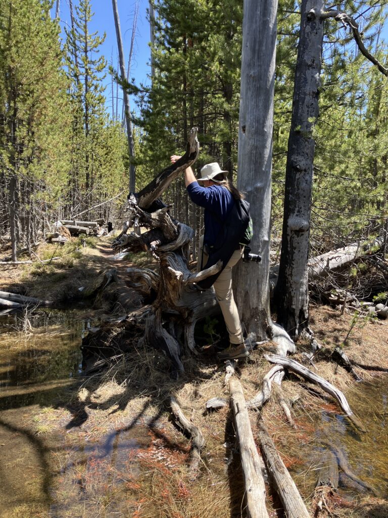
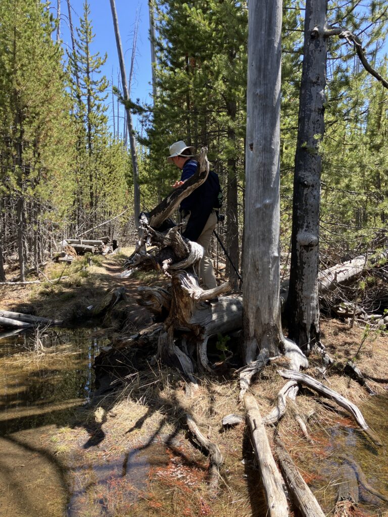
We made it about 1/2 of a mile into the trail and had to start log hopping to prevent walking in pools of water. We would have a short fairly dry spot and then back to log hopping. We did see a small amount of snow, but nothing compared to the pooling water.
After around 0.9 miles, we decided that we had enough log hopping and balance beam practice and turned around to try another day after the ground soaked up some of the water. The bad part is that going back to the car also required balance beam practice.
The pictures below show some of the swamp ridden areas.
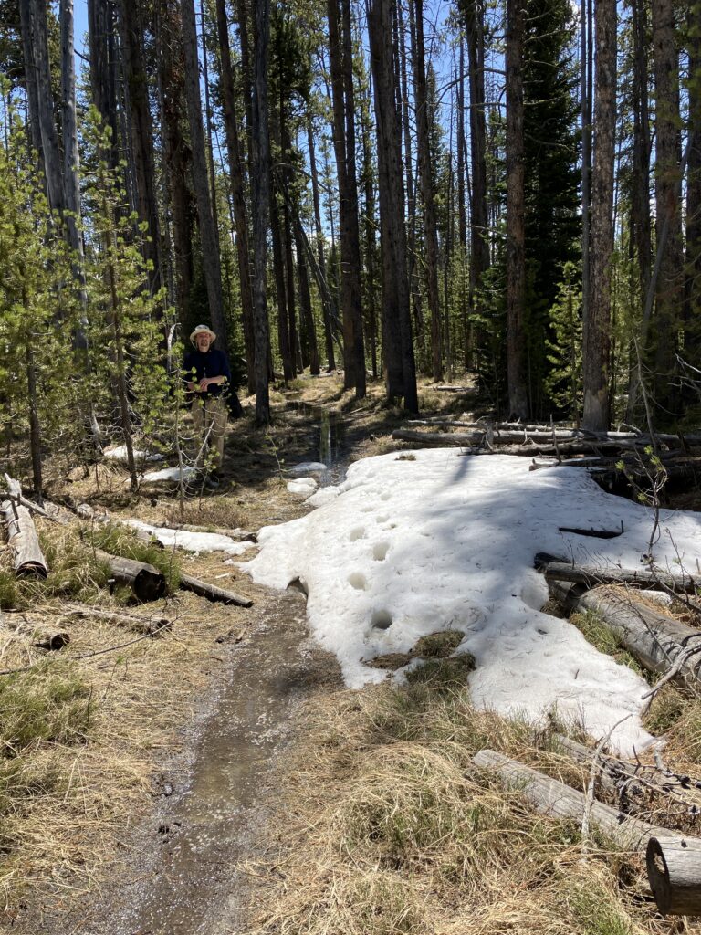
I thought you might like to see some our balance beam practices.
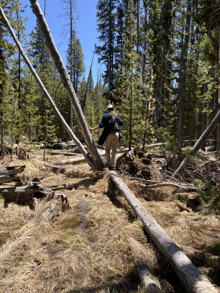
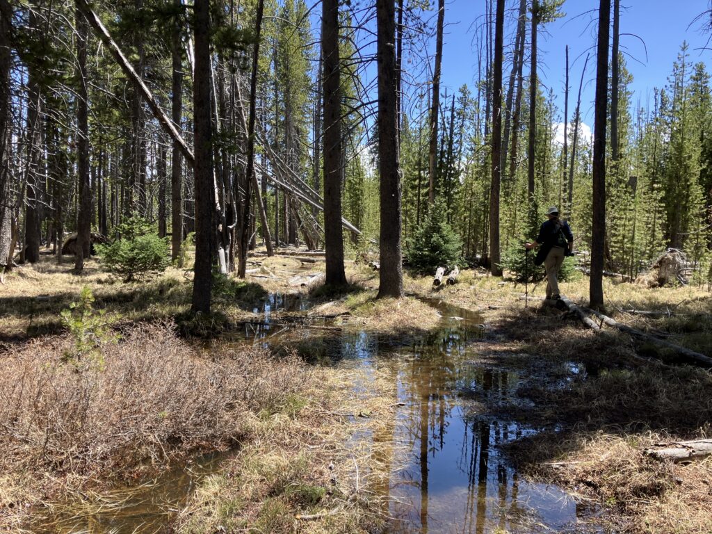
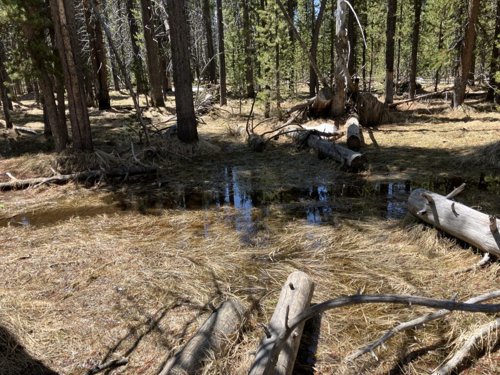
We did have a dry patch.
Task #2 – Photographs of the Loons (Failure)
The main purpose of the original hike was to see the loons. Since we did not complete the hike, we were unable to get loon photos.
Task # 3 – Visit the Flagg Ranch Visitor Center (Failure)
The Flagg Ranch Visitor Center is located just south of the south entrance of Yellowstone National Park. By visiting, I was hoping to get a Cancel Stamp for both Yellowstone and John D Rockefeller Memorial Parkway.
When I got back to the trailer, I did some internet research and learned that the information center is manned by volunteers and most likely is not going to open in 2025. 🙁
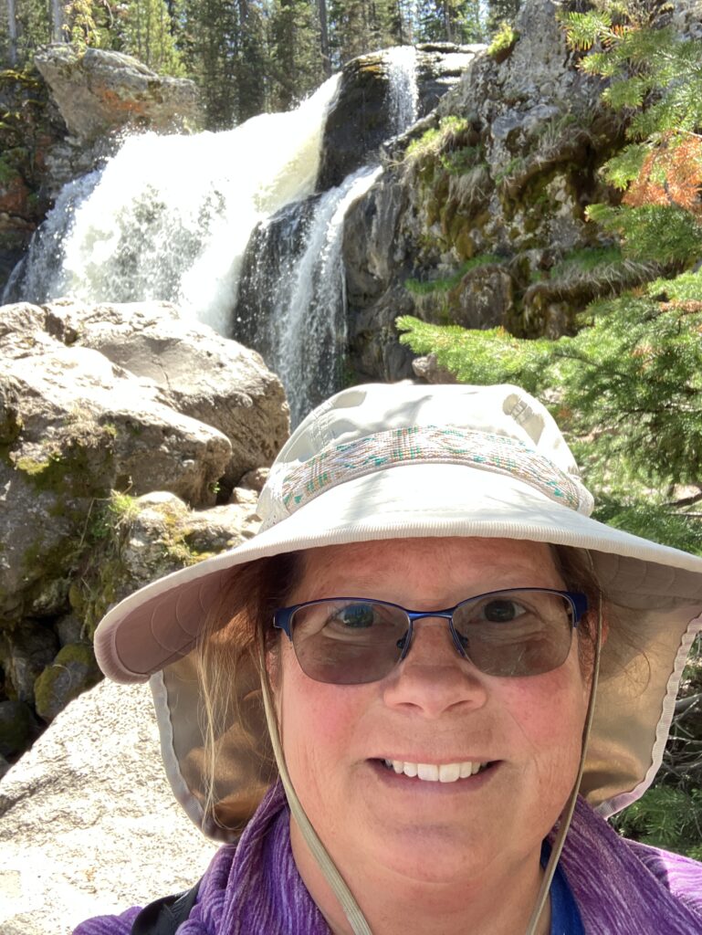
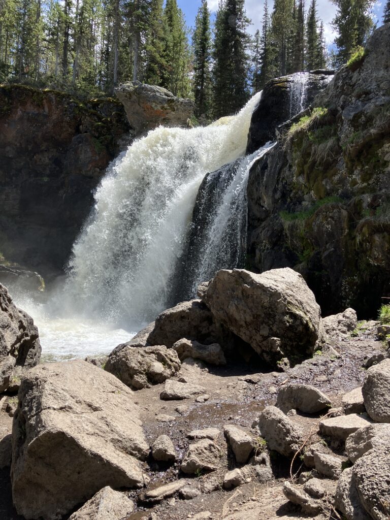
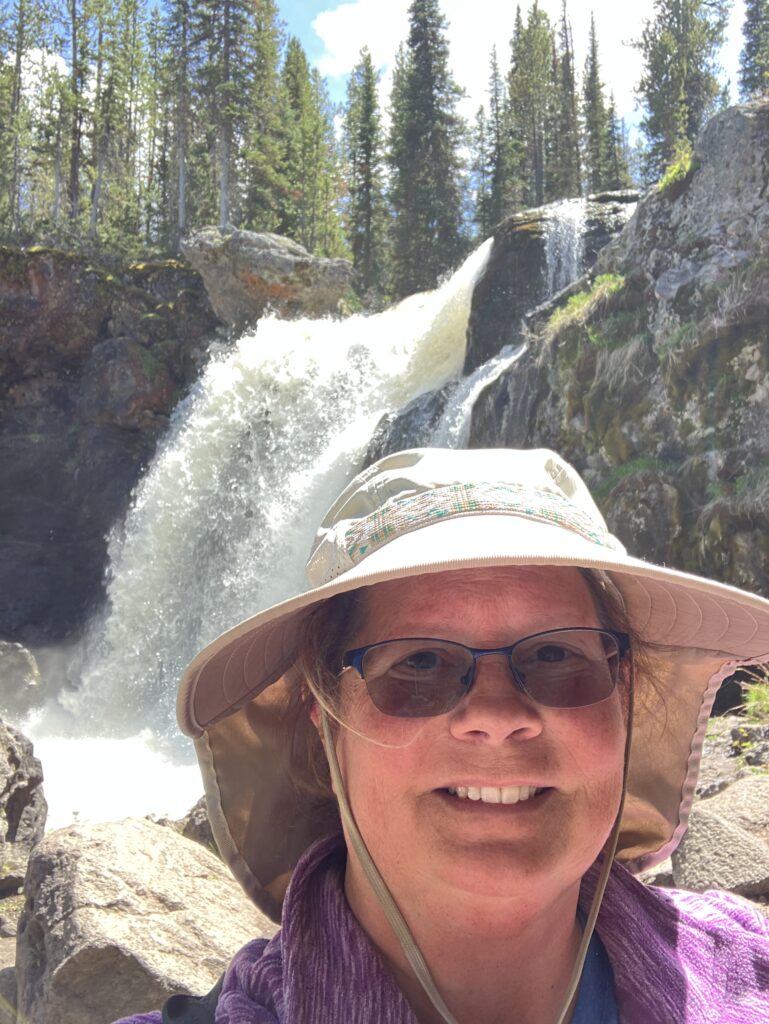
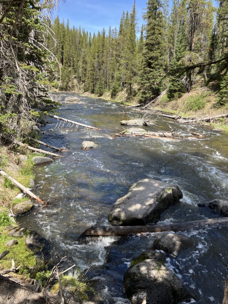
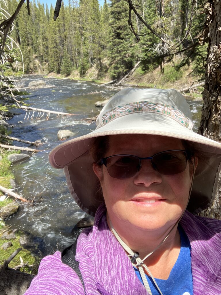
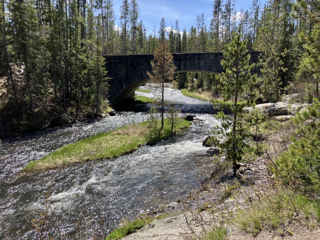
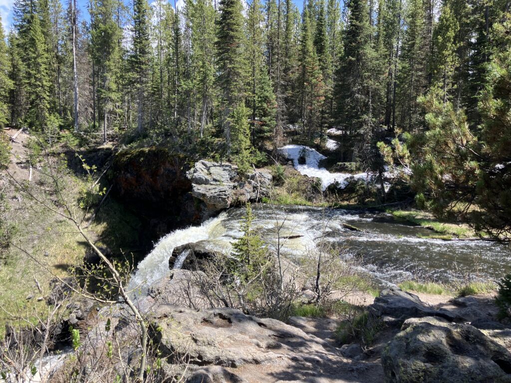
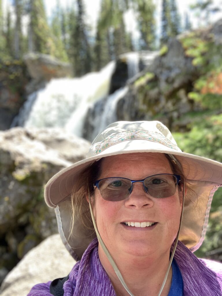
Task #4 – Moose Falls (Success! Finally)
Moose Falls is located just north of the South Yellowstone Entrance.
We really didn’t know what to expect and got more than we were hoping for. The falls was overflowing with water. It was about a 1/4 mile hike from the road, mostly downhill, to get to the base. One side was a view of the falls and rapids. The other side had a view of the bridge and rapids before the falls.
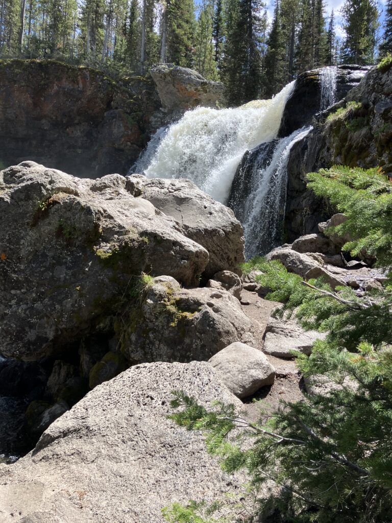
The video below provides a feeling of just how much water was flowing and spraying everywhere when the water hit the rocks below.
I thought this picture turned out nice and adding it just because 🙂
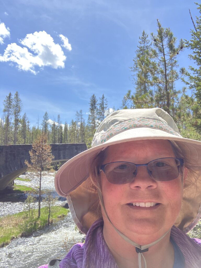
On the drive back, I took a wrong turn. We didn’t catch it until we were 10 miles in the wrong direction.
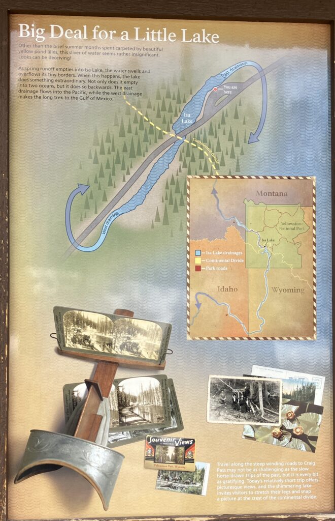
The good news was that we ended up seeing the continental divide 3 times (that is correct, 3 signs all for the continental divide.) The picture below is for one of the signs.
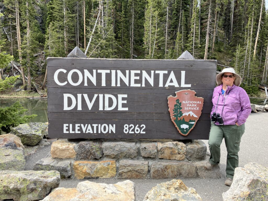
Continental divide information signs
Task #5 – Evening hike of Storm Point (Failure)
We’ve hiked Storm Point once before and it had the Yellow-bellied Marmots and Pine Martin. We were told this is a great place to hike and see wildlife and birds. Also, the best time was at dusk.
We were a little sidetracked by seeing the “snake bird”. (See the Part 2 post.) Then black storm clouds started rolling in. The black clouds looked like they would touch the ground.
I decided the best option was to go back to the trailer versus potentially getting caught in a thunderstorm with John’s camera gear.
Task #6 – Pine Martin photo (Failure)
Since we didn’t hike Storm Point, we were unable to see get the picture.
As compensation for all our failures we have a picture of the (rare) Western Grebe!! (See the Part 2 post.)
One response to “Yellowstone National Park Day 10: One out of Six Ain’t Bad?”
I got to see my selfies. Thanks, Dad