
Machicomoco State Park, VA, May 2026
Overview
Machicomoco State Park is the second park we are looking at to replace Chippokes State Park. This park is supposed to be much newer than the other two.
Machicomoco is north of York instead of east of Williamsburg. It is about the same distance to Norfolk as Chippokes State Park and Chicahominy Riverfront Park, but it is a little further from Williamsburg than Chicahominy.
Directions
The route to Machicomoco State Park starts like the route to Chicahominy because both are on the other side of the James River. It needs to be verified with the trucking map, but the route should be:
- (18.5 miles) Continue another on I-295N around Richmond
- (1.9 miles) Take exit 28 to the service road to exits for Highway 60 and I-64. Pass the exits for Highway 60 and take the first exit for I-64 East to Norfolk.
- (48.7 miles) Take I-64E to exit 250B for Highway 105 / Ft Eustis Blvd to Yorktown
- (3.8 miles) Take Highway 105 / Ft Eustis Blvd and turn left on Highway 17 N.
- (9.6 miles) Take Highway 17 N over Coleman Memorial Bridge (No Toll) and turn left on Route 636 / Providence Rd
- (1.5 miles) Follow Route 636 / Providence Rd to a SHARP left turn on Route 635 /Borden Rd
- (0.7 miles) Follow Route 635 / Borden road left through the circle to the park entrance
The route is fairly clear of overhanging trees until the last mile. The road is wide enough that it should be possible to avoid them, if traffic is light.
Amenities
The campground website is here, trail map is here, and campsite details are here. (Note: If you click the “here” link, you will have to go back to this page.) The park has some good features:
- 6 miles of trails in the park, including 3 miles paved loop
- Historical interpretive sites
- Canoe launch with pier
- Quiet
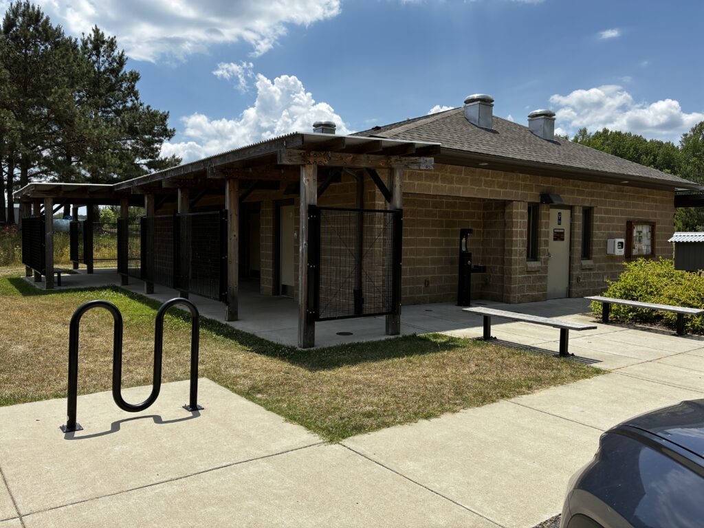
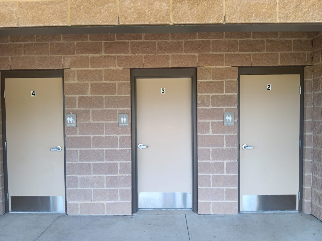
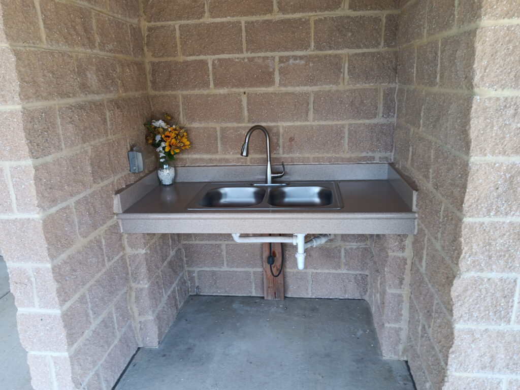
- A very nice bathhouse with many private showers and bathrooms and two slop sinks
- 75′ pull-thru and back-in sites with water and 50-Amp
- All gravel or paved sites
- Sites have fire rings
- Bathhouse is a storm shelter
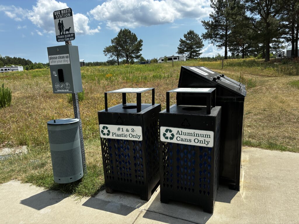
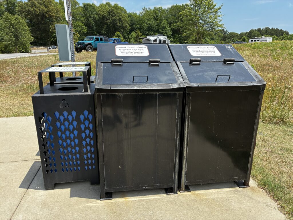
- Recycle bins
- Price is cheaper than Chicahominy or Chippokes
- Long term plan to improve the campground
It had some drawbacks too:
- No laundry
- No water views near the campground
- Limited shade at the campground
- Limited campground attractions
Internet
We should have clear Starlink at several sites, but if we could not get the site we wanted, we might have to supplement it with cellular data.
| Provider | Protocol | Device | Down (Mbps) | Up (Mbps) | Latency (ms) |
|---|---|---|---|---|---|
| T-Mobile | LTE | phone | 12 | 2 | 34 |
| AT&T | LTE | phone | 178 | 5 | 69 |
| AT&T | LTE | phone | 182 | 4 | 65 |
| AT&T | 5G | phone | 300 | 0.38 | 67 |
Sites
All of the RV sites include 50-Amp and water, but there are no full hookup sites. There are multiple sites that should have clear Starlink. The pull through sites have a ditch at either end that will require careful maneuvering. A few of the back-in sites have limited space on the opposite side of the road for backing in. All the back-in sites are wider on the driver side to make backing in easier. Our site preferences, in order, are 2, 9, 26, 8, 16, 7, and 23. We did not bother to take pictures of all the sites, just some representative ones. There are small trees in the middle of the loop that might be an issue for Starlink in 10 to 20 years.
Site 2
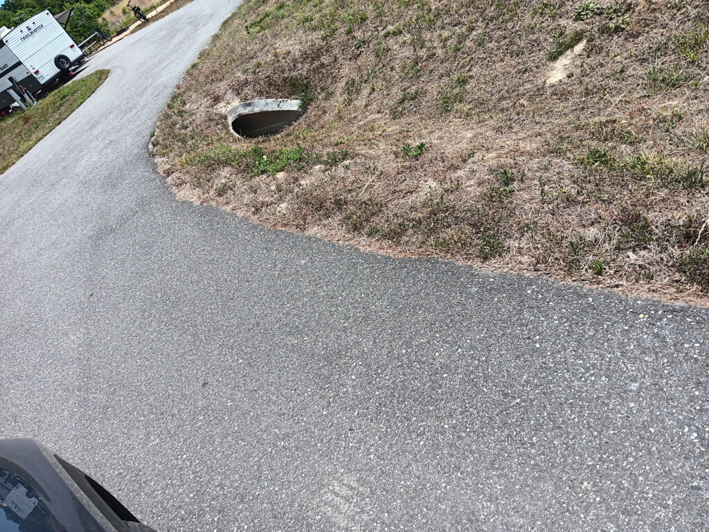
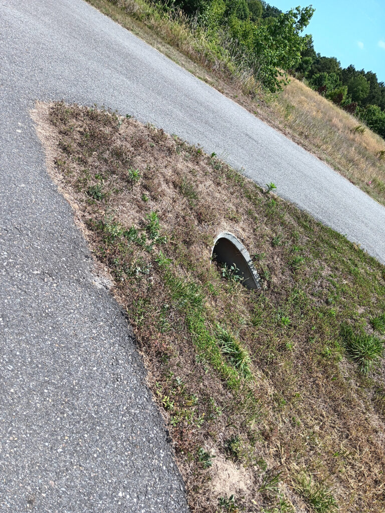
Site 2 was occupied, so we only got pictures of the ditch on the way in and out of the pull-thru. Except for the ditch, the site is pretty ideal. There is room to swing wide on the left for turning into the site. There is a grassy parking area across from the exit that could assist in pulling out to avoid the ditch. Site 2 is over 100 feet long.
Site 9
Site 9 has four advantages to 7, 8, and 16. It does not have the hummock behind it like 7. It has more room in front to turn in than 7, 8, or 16. It is closer to the bathhouse than 7 or 8. It is more level than site 7 or 8. The layout of site 9 is fundamentally the same as Site 7 and Site 8, so look at those pictures. Site 9 is listed as 70′ x 14′.
Site 26
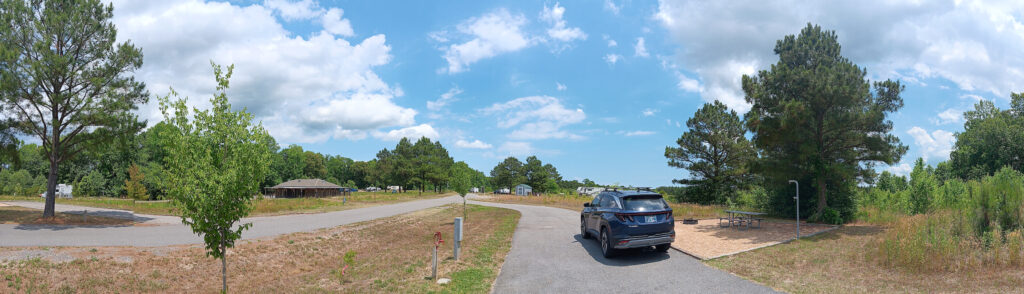
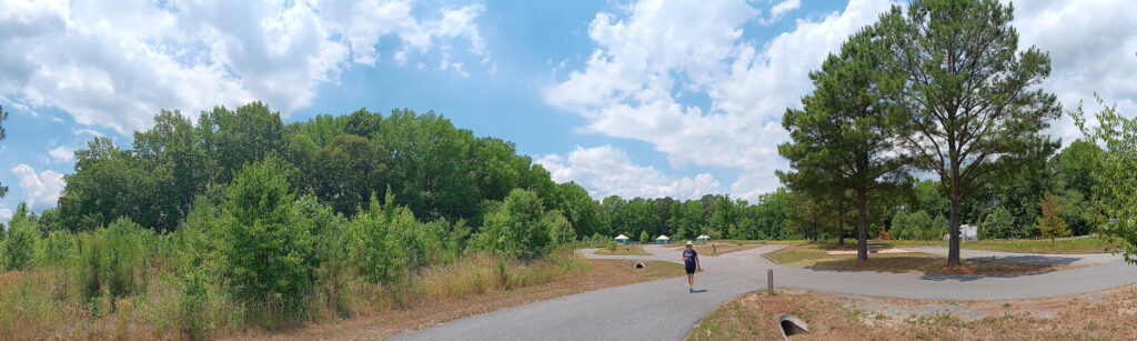
There is a ditch on the entrance side. There is no ditch on the exit side, so you could easily use it as a back-in site. The view will be into the woods instead the loop or another site. There are trees about 40′ from the site. The trees are only 30′ to 40′ tall, so Starlink on a 12′ pole should work fine. In ten years, this may no longer be true. Site 26 is over 100 feet long.
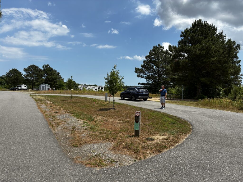
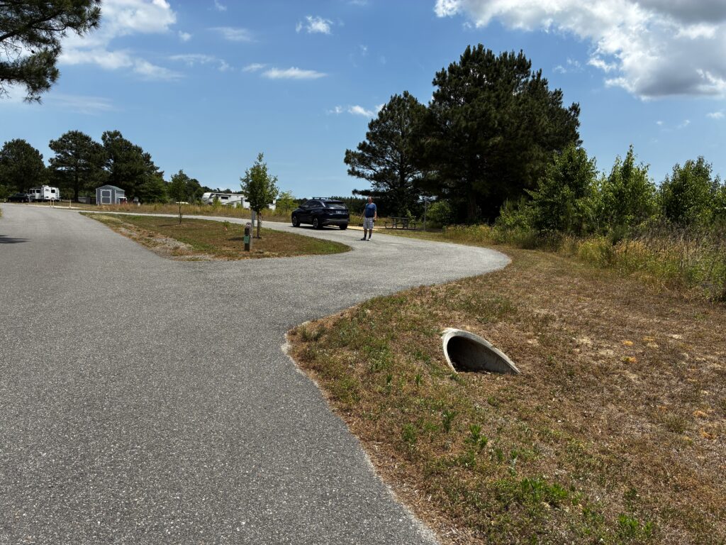
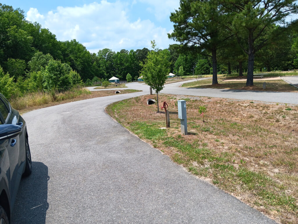
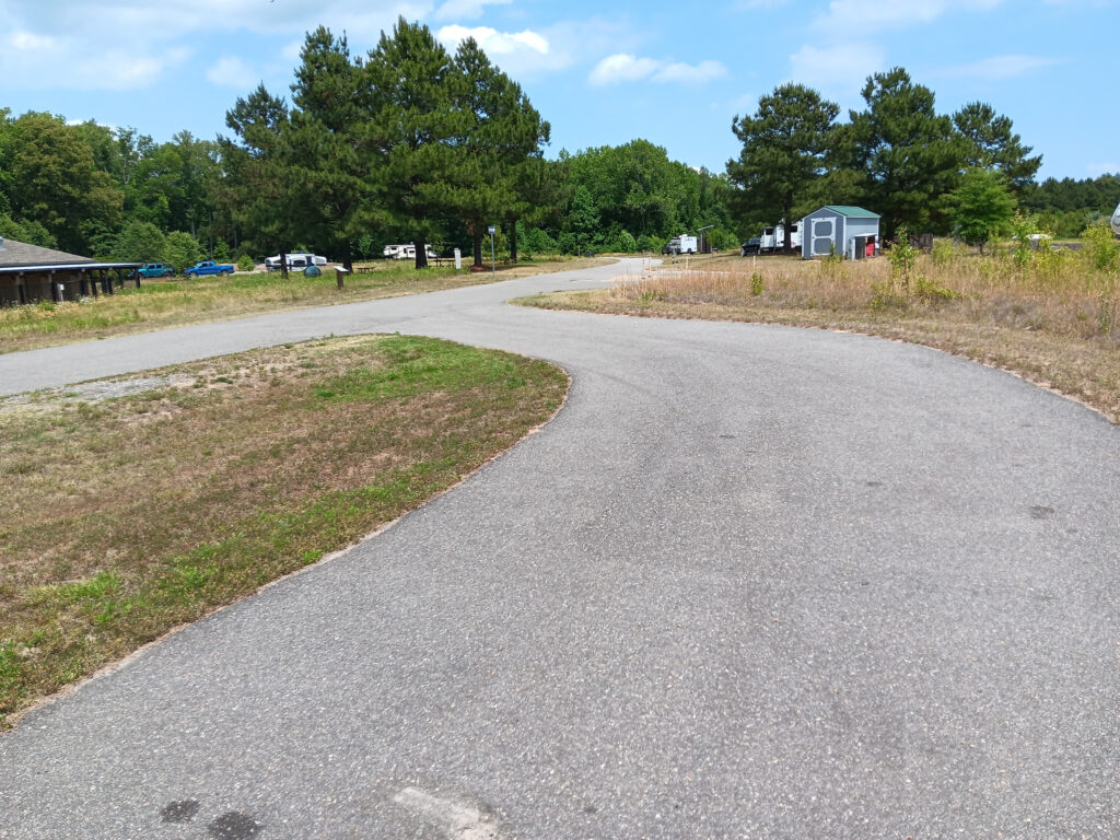
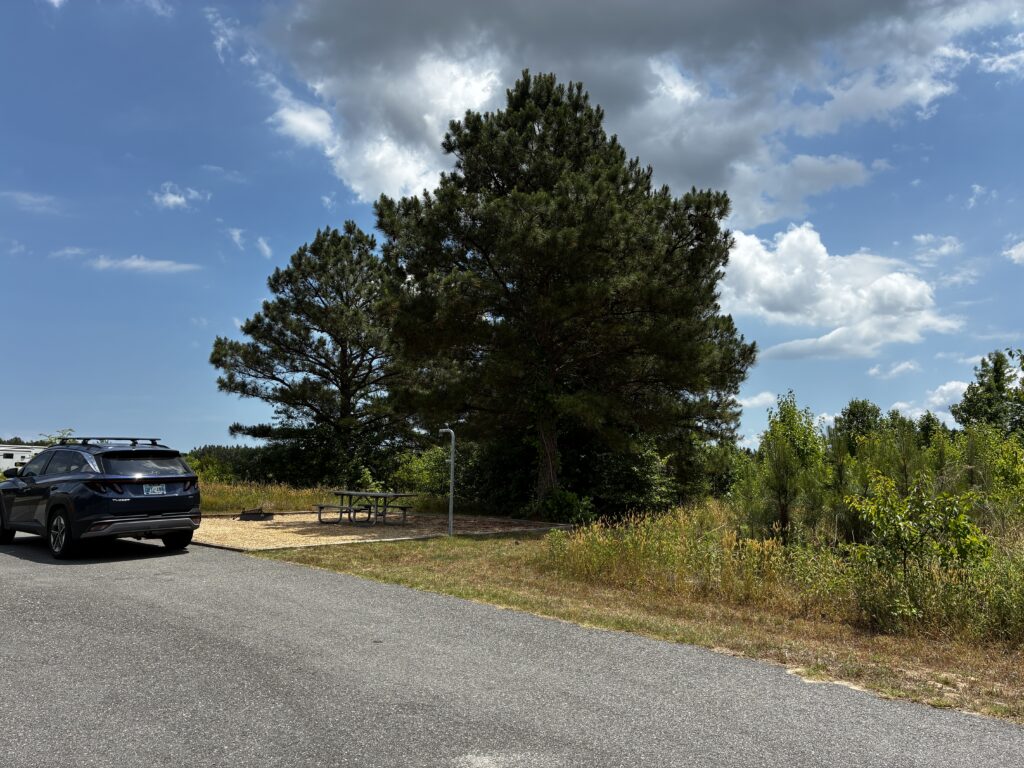
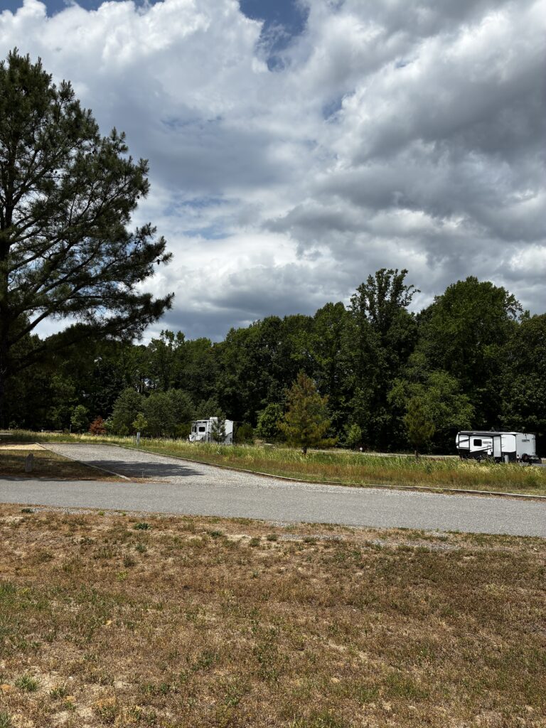
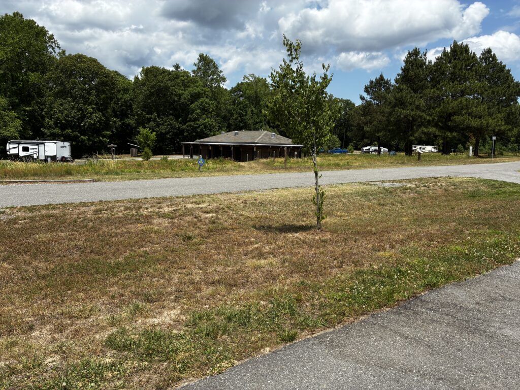
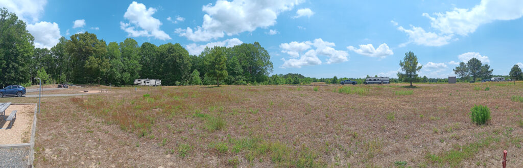
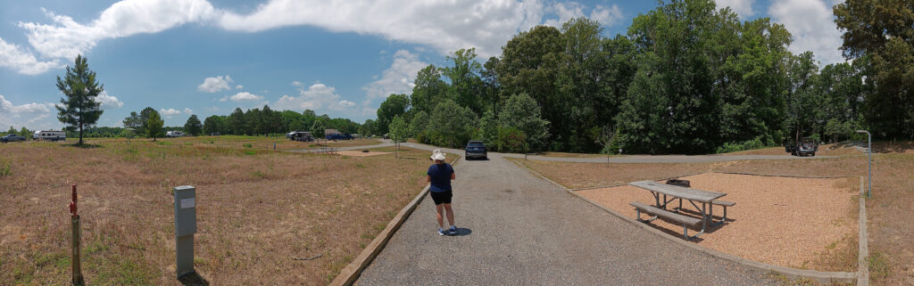
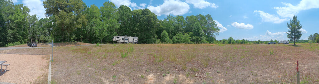
Starlink would probably orient toward the left hand side of the top panorama or the right hand side of the bottom panorama.
Site 16
This site is very similar to site 8, except on the other side of the bath house. It has more room in front for backing in than 8 and less then 9. Site 16 is listed as 70′ by 14′.
Site 8
Site 8 is very similar to site 7, except it does not have the hummock at the back. It also seemed to be slightly less sloped. Site 8 is listed as 70′ by 14′.
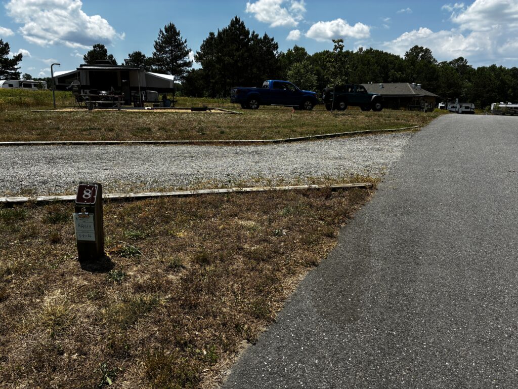
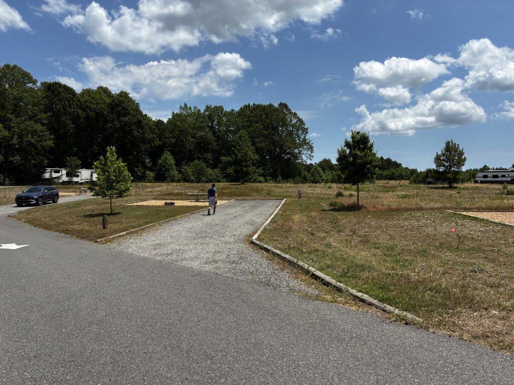
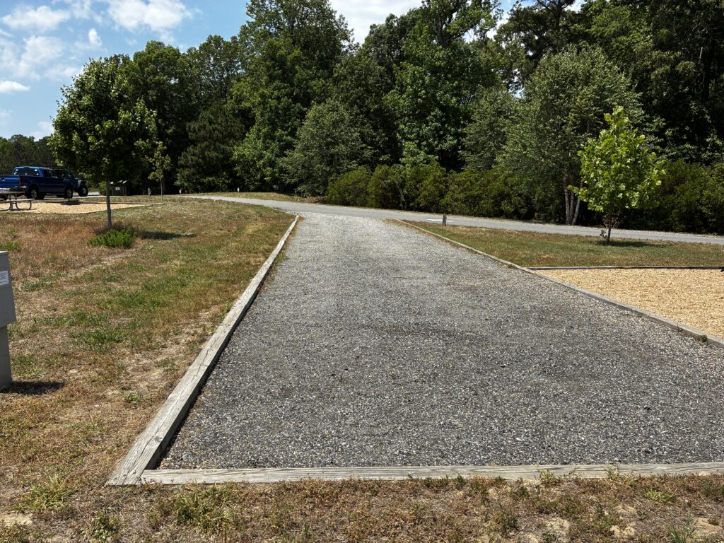
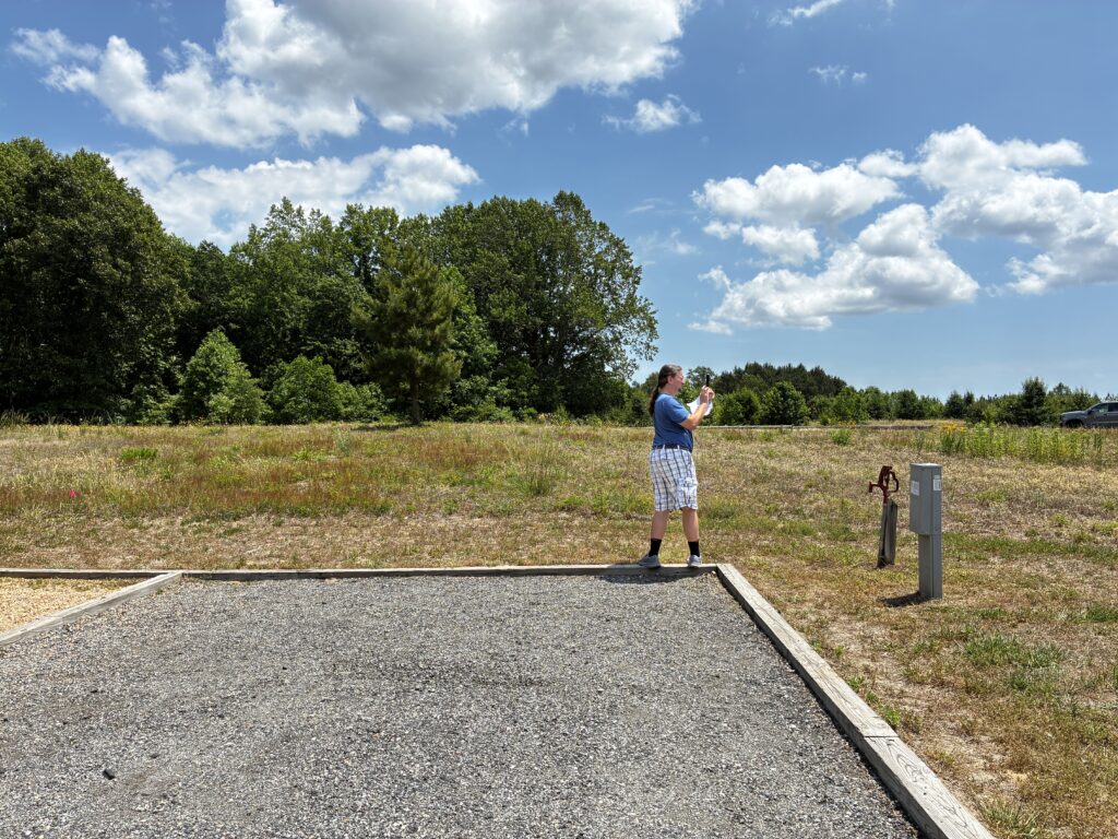
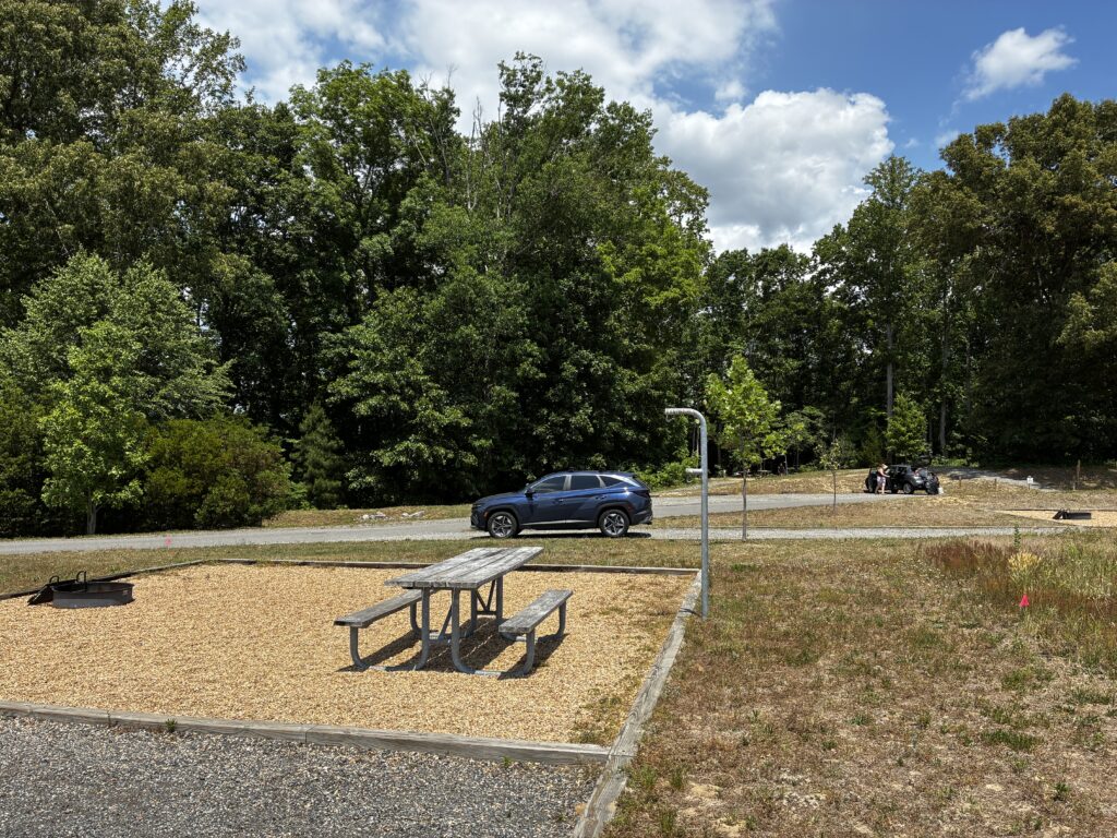
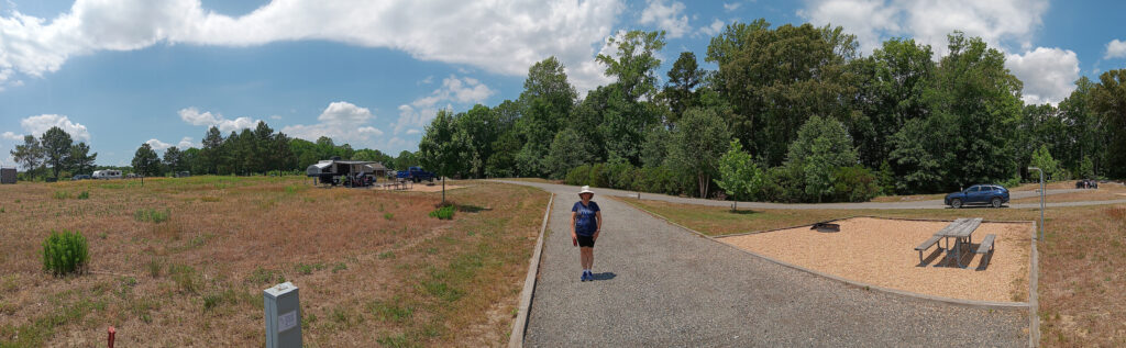
Starlink should orient a little to the left of the end of the campsite on the right side of the top panorama and left side of the bottom panorama.
Site 7
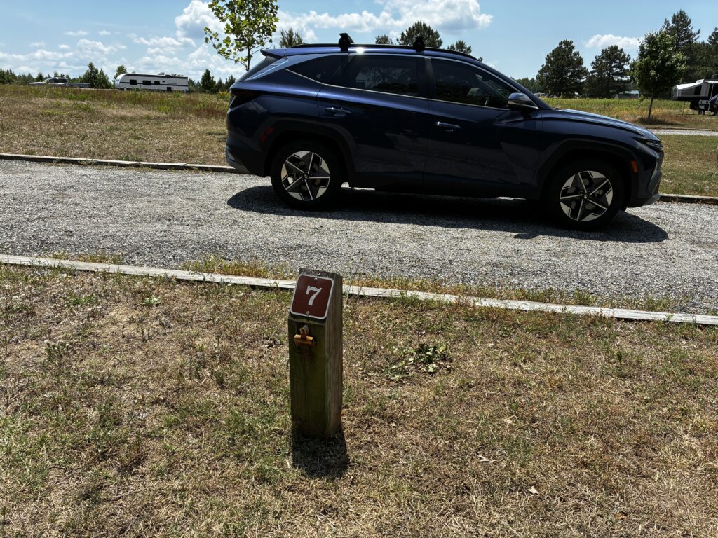
Site 7 has a long gravel pad paced out as about 72′ long by 16′ wide, which is close to the 70′ by 14′ reported by the park. It does slope gently upwards into the site, so the RV will be less stable. There is a hummock in the back, so we will not be able to overhang as far as normal.
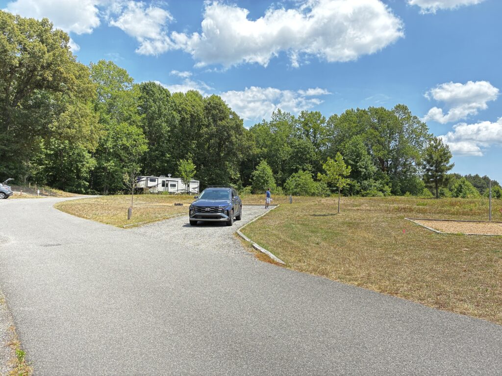
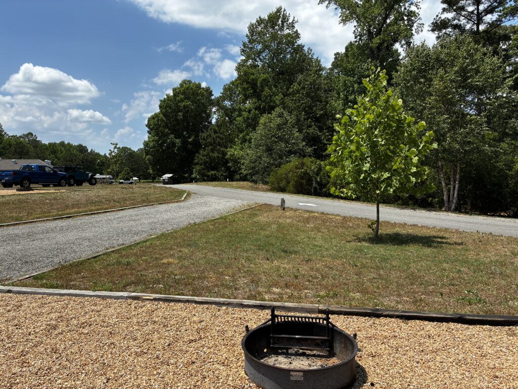
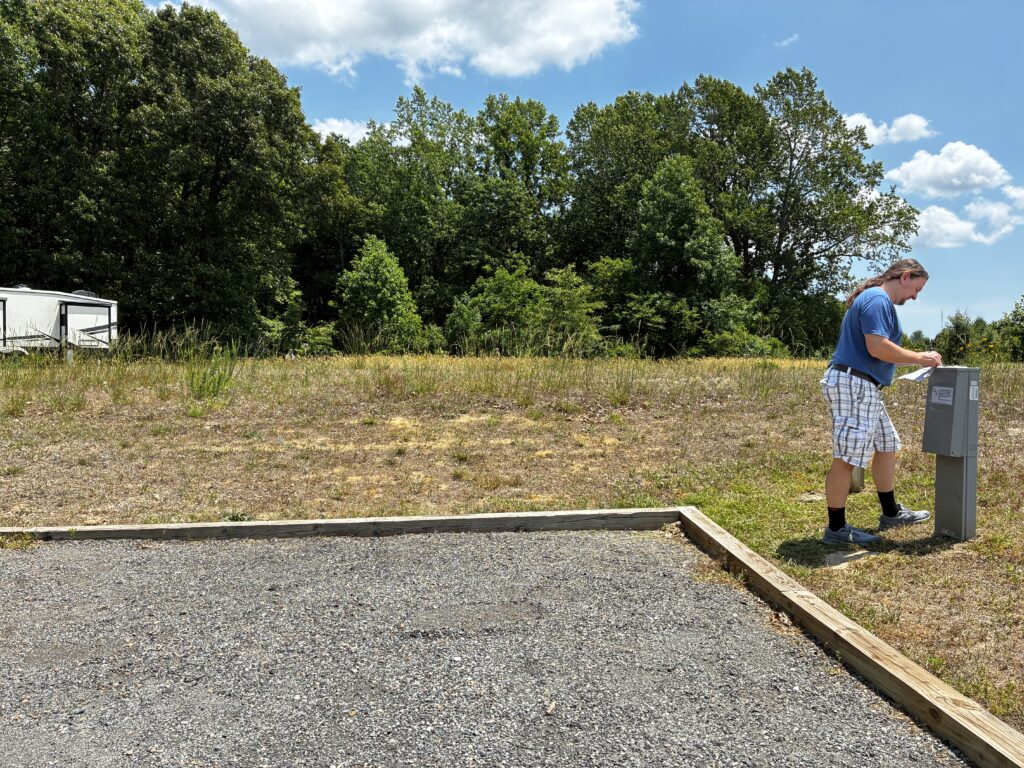
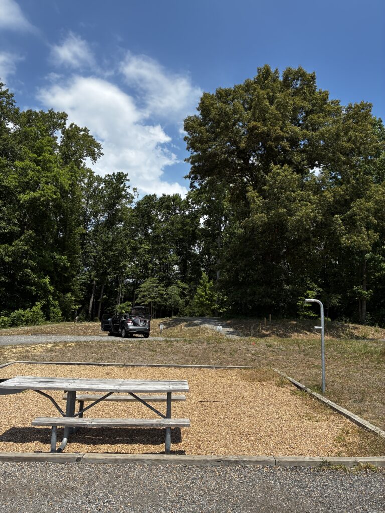
Starlink would likely point along the edge of the campsite on the right of the top panorama and left of the bottom panorama. The trees are 80+ feet away, so Starlink should clear them.
Site 23
This is similar to 26, except it has a ditch on the entrance and exit. It is also slightly more impeded by the trees. It is likely feasible to use and get good Starlink internet, but not as good as the others. Site 23 is over 100′ long.