
Petit Jean State Park, OK, Feb 2024
Park Information
- Do not take the route listed in the park website. This will take you up a hill with sharp turns. This path is guaranteed to make Mackie sick. The route listed had a gradual incline, so no barfing cat. 🙂
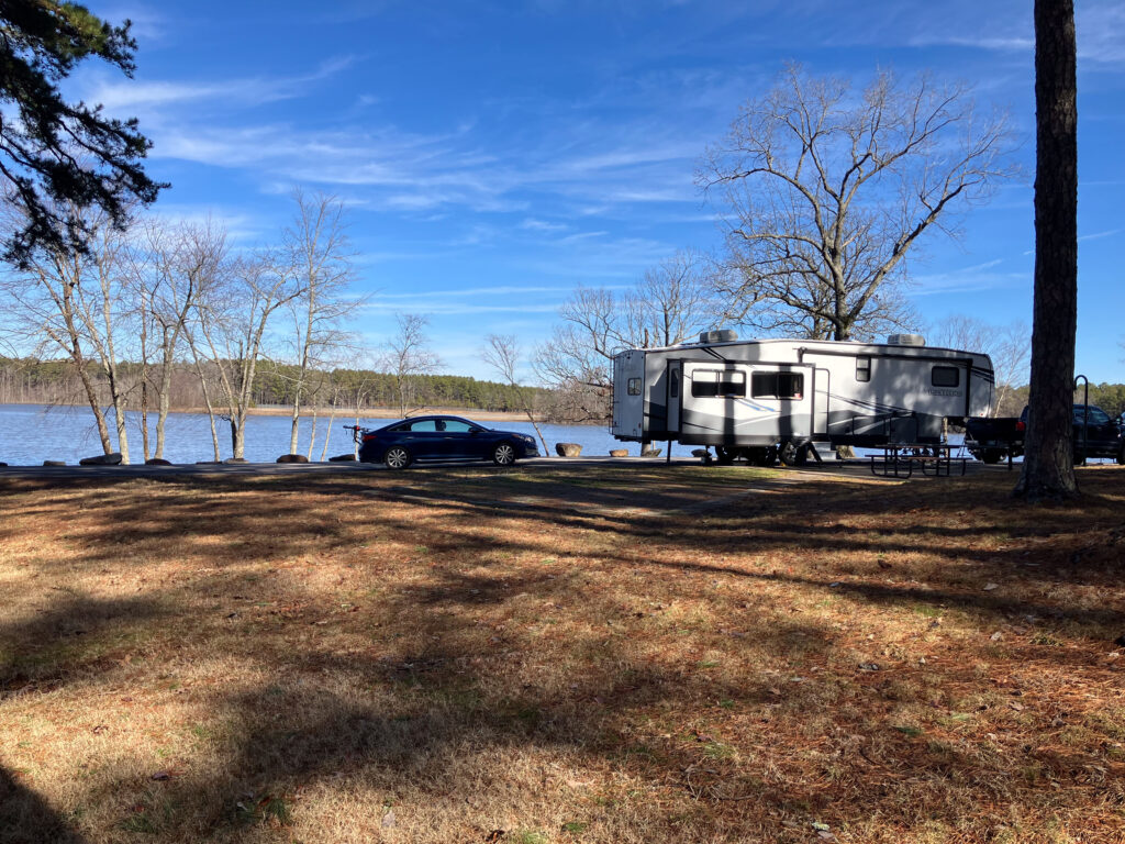
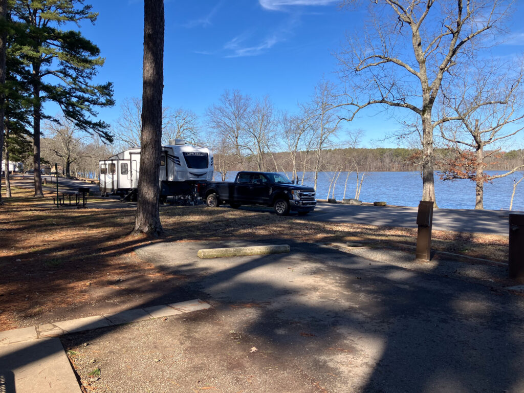
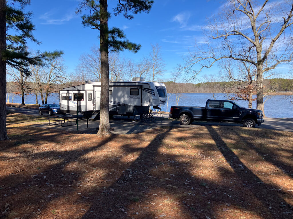
- Many sites along the water but only a few that are actually next to the water with dining room table water view. Site 19 would have view of the water and long enough for trailer.
- Lots of great hiking and biking around the park. Biking has strenuous hills.
- Large restaurant and visitor center. Restaurant food was OK, but it is not great.
- Loop A & B had full hookups. Loops B was redone in 2024. Loop C had a lot of trees, and it would not work for big rigs.
- Mostly tree covered which would make Starlink service questionable. Since US Cellular no longer exists, the quality of cell service is unknown.
- The park does not have laundry.
- The park is well maintained with a lot of hiking trails and a several mile paved bike trail.
- The lake has a 10 hp limit, and it would be good for kayaking, unless it was winter.
Bathroom / Dump Station / Water Stations
- Loop A bathrooms were group bathrooms. Loop B had a new bathhouse with individual shower / toilet stalls.
- Full hookups, so did not use the dump stations
- Water pressure and quality were acceptable
Phone / Internet Service
- T-Mobile:
- Cricket Mobile:
- Starlink: The campgrounds are forested, so fully obstructed away from the water and partially obstructed at water side sites.
Cat Fun
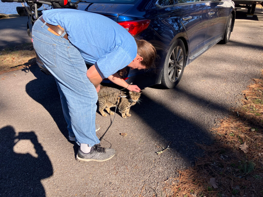
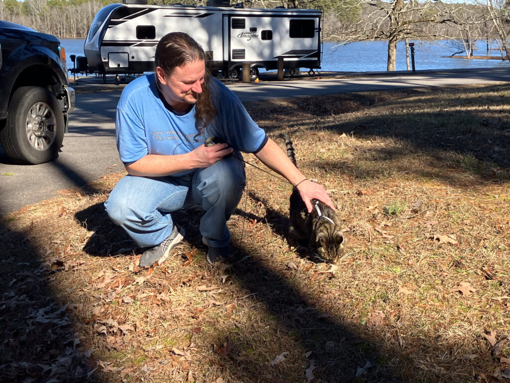
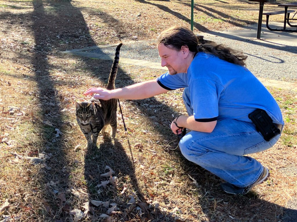
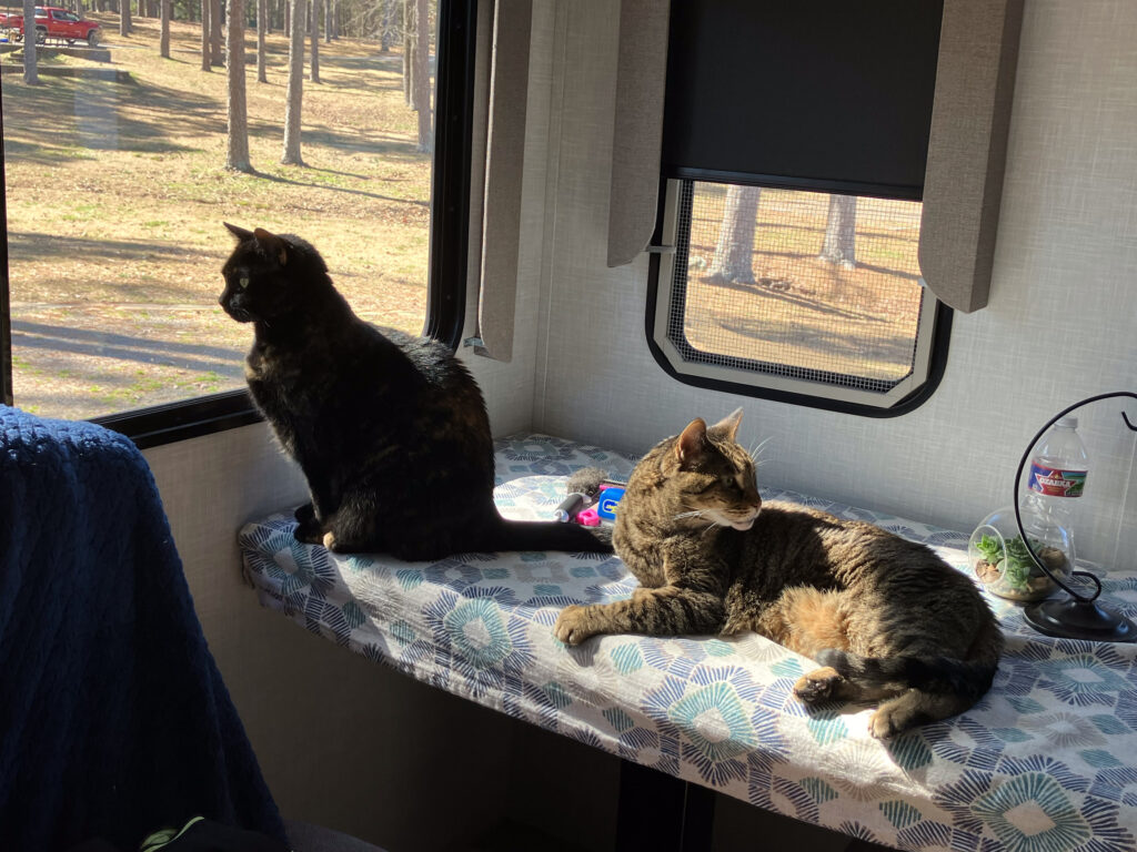
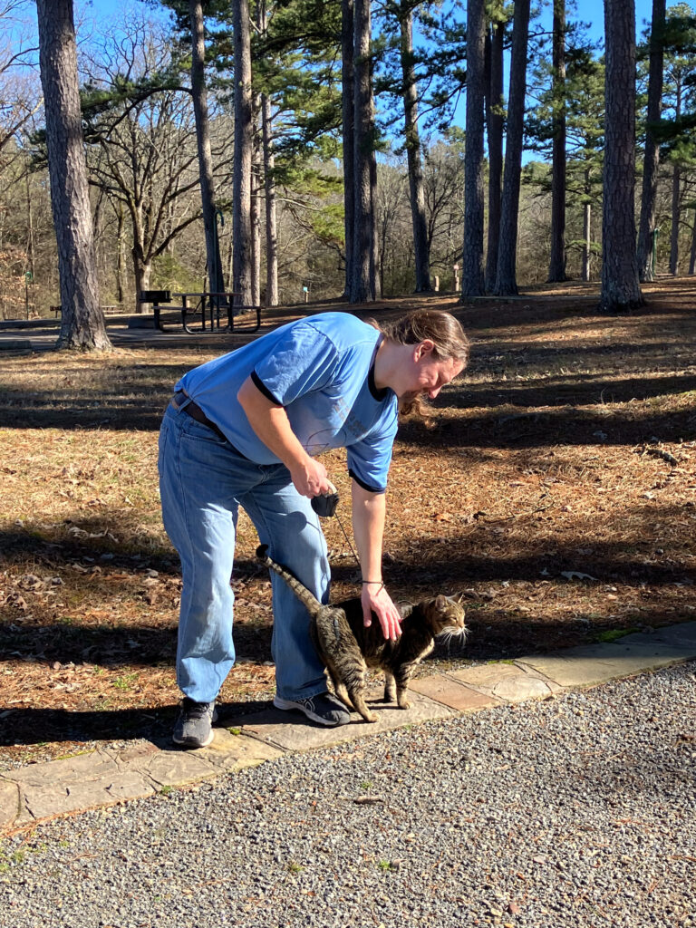
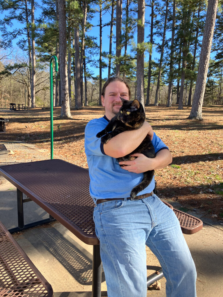
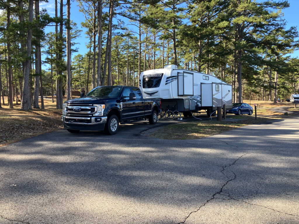
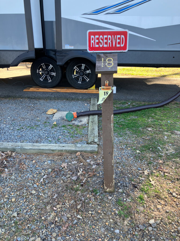
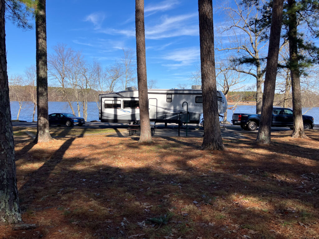
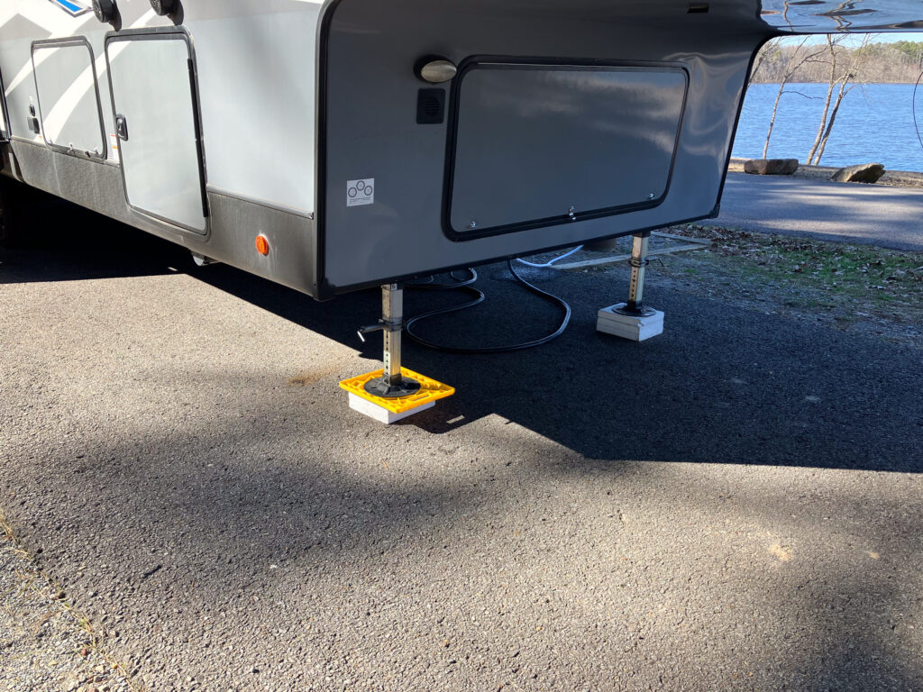
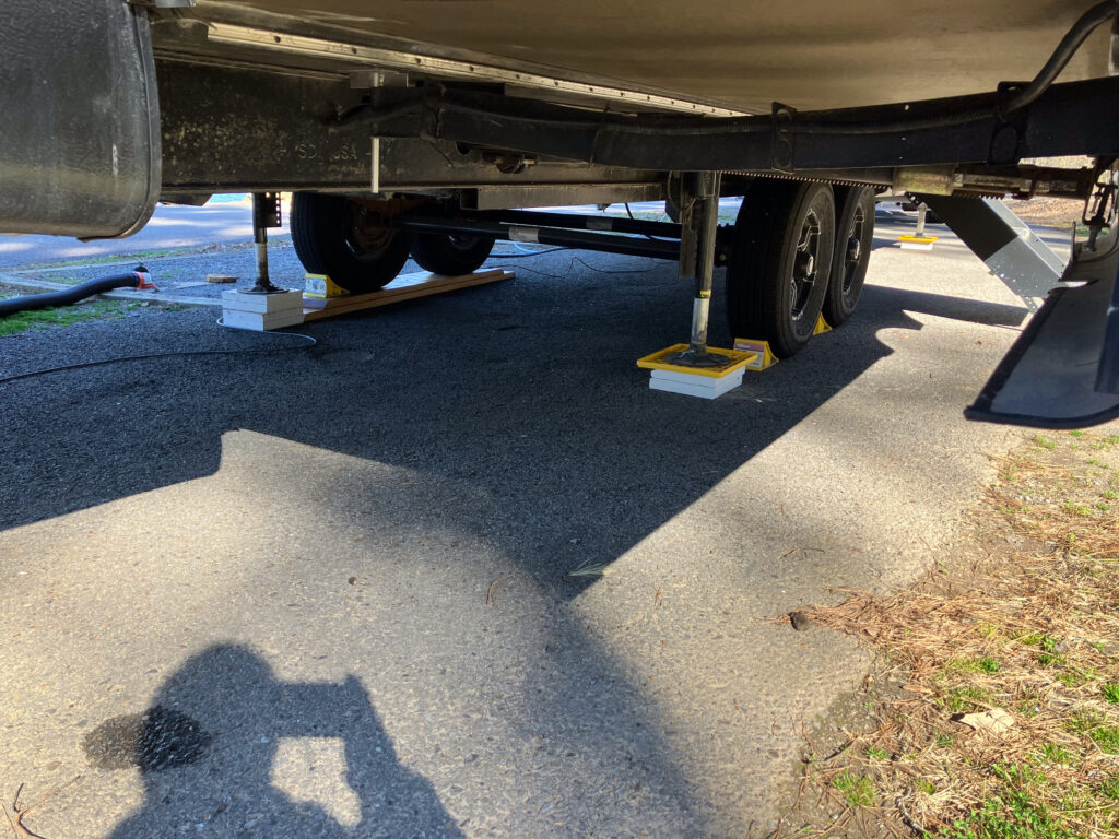
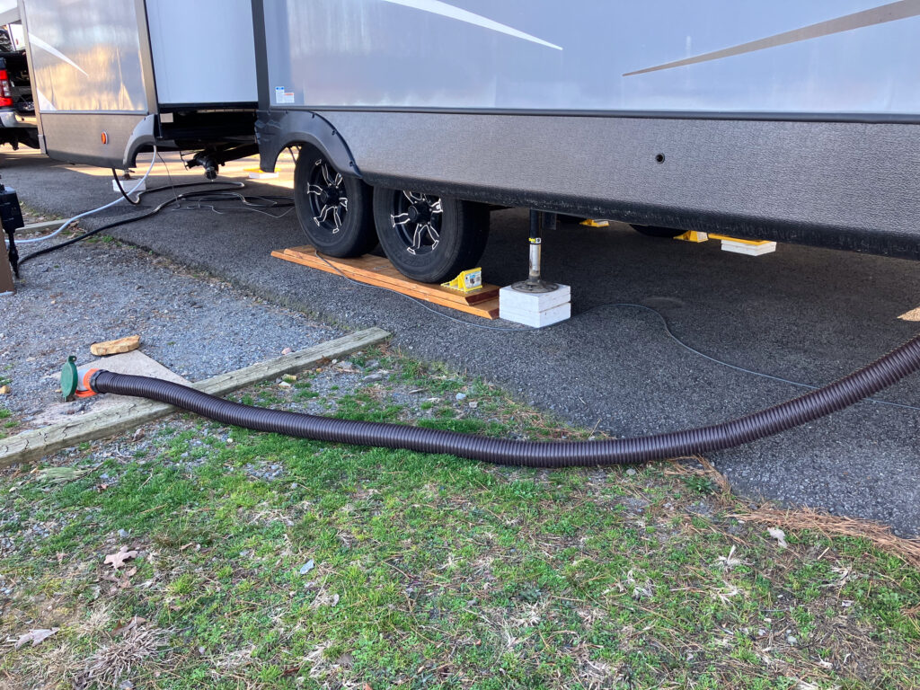
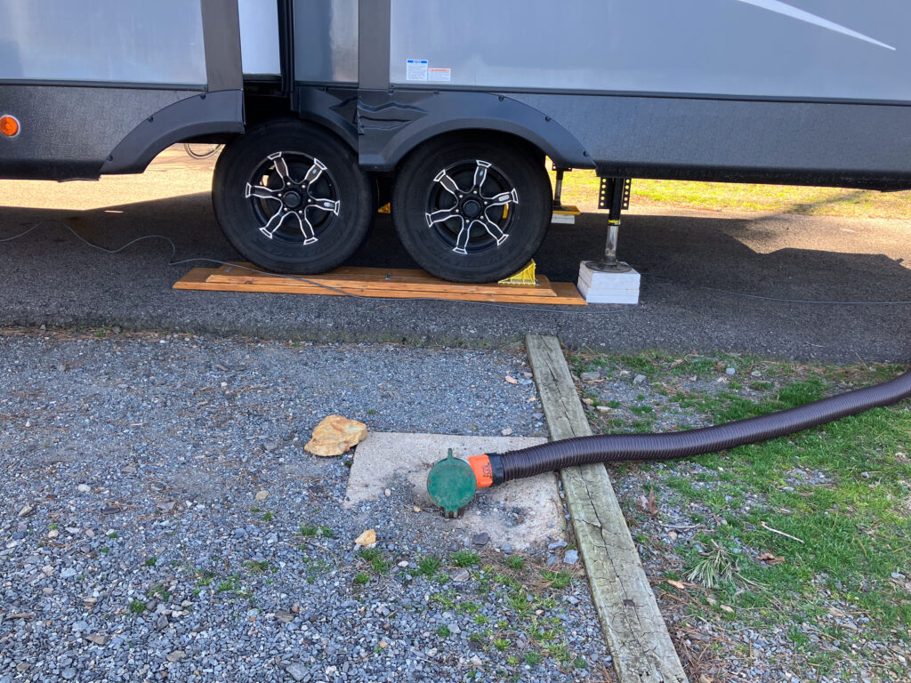
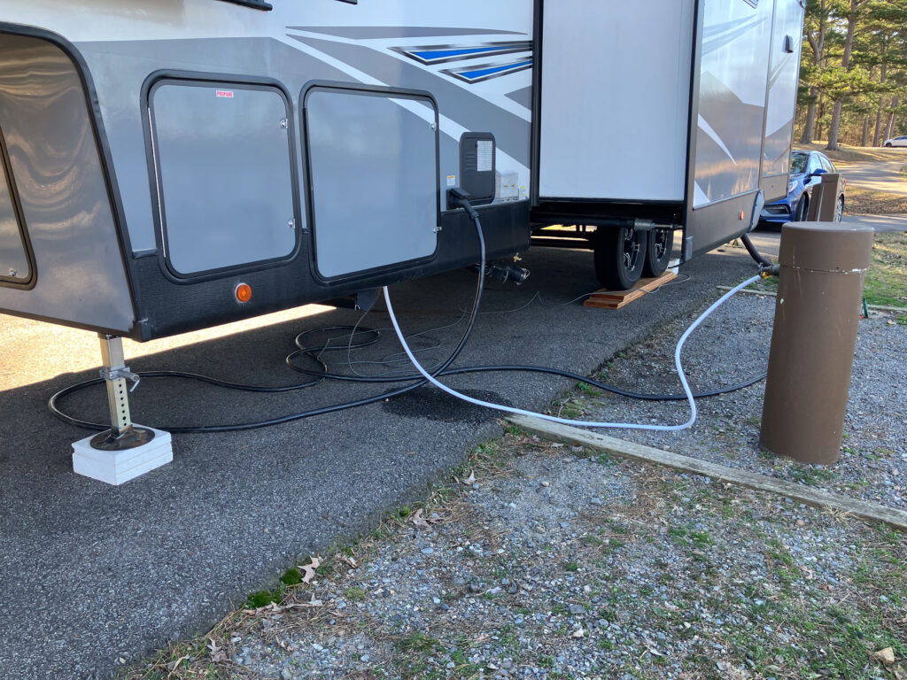
Site 18 Pictures
Driving Directions
This drive is a total of about 246 miles
- (0.0 miles) Left on US-75 South. US-62 merges with US-75 south of Okmulgee
- (28.5 miles) Take second exit on right for I-40. This should be I-40 East
- (200 miles) Take exit 81 on right and turn right for AR-27 South/AR-7 South/N Arkansas Avenue
- (207 miles) Warning: Do not turn in the town of Dardanelle. Turn after you pass through at the T-intersection
- (207 miles) Left at the T-intersection to stay on AR-7 South. Stay on AR-7 South until the town of Ola. AR-27 South will diverge immediately. AR-28 joins in Centerville
- (222 miles) Left on AR-10 East
- (232 miles) Left on AR-155 North
- (243 miles) Right on AR-154 East
- (246 miles) Left into campground
Rest Areas
- 27.8 miles. QuikTrip on left
- 39.0 miles, Truck Rest Area (No Facilities, except trees)
- 54.0 miles, Phillips 66 (Looks rough)
- 75.5 miles, Exit 287, Loves Travel Stop
- 86.0 miles, Exit 297, Loves RV Stop (limited parking)
- 96.0 miles, Exit 308, QuikTrip/Valero (Small, but semi compatible)
- 113.0 miles, Exit 325, Pilot Travel Center and Cherokee Travel Plaza (Wendy’s, near: McDonald’s, Arby’s, Taco Bell, Subway)
- 154.0 miles, Exit 35, Workman’s Travel Center
- 155.0 miles, Arkansas Rest Area
- 156.0 miles, Exit 37, Loves Travel Stop (near: McDonald’s, Taco Bell)
- 176.0 miles, Exit 57, Loves Travel Stop (Bojangles, near: Sonic)
- 222.0 miles, Phillips 66/7 T Kiwk Stop (Possibly dirt semi lot to right)
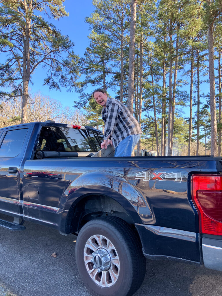
I don’t have a selfie, but was sent the below picture while in the park. So, I figure it is the next best thing.